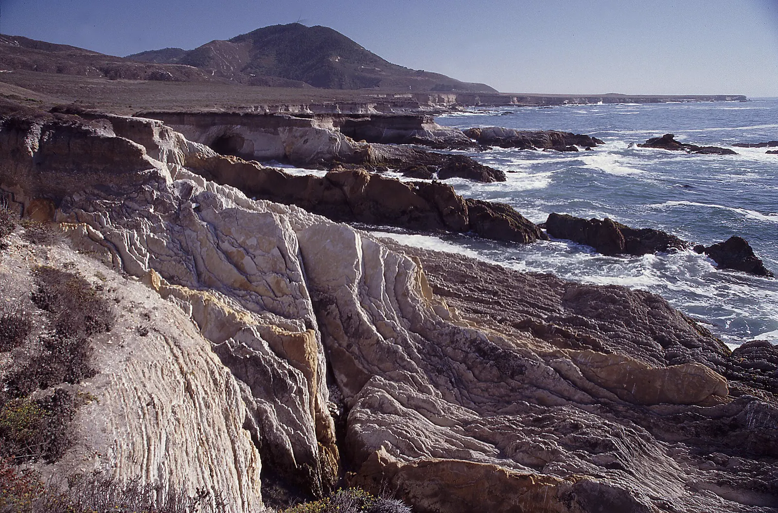
3 tide pool spots
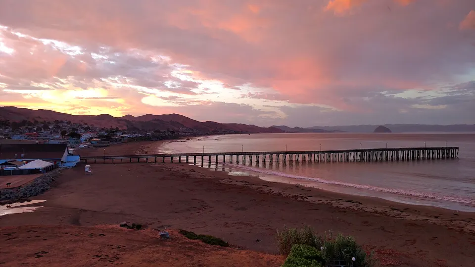
Cayucos, San Luis Obispo County, California
Cayucos State Beach, known for its fishing pier and historic buildings, offers surfing, swimming and tidepooling (California State Parks).2
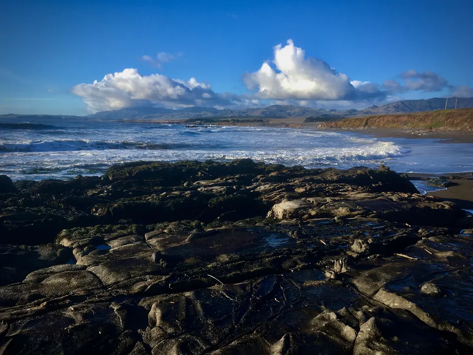
Cambria, San Luis Obispo County, California
Hearst San Simeon State Park (Cambria)
At Hearst San Simeon State Park, low tides reveal tide pools with sea stars, chitons, limpets, turban snails, barnacles and fish (California State Parks).4
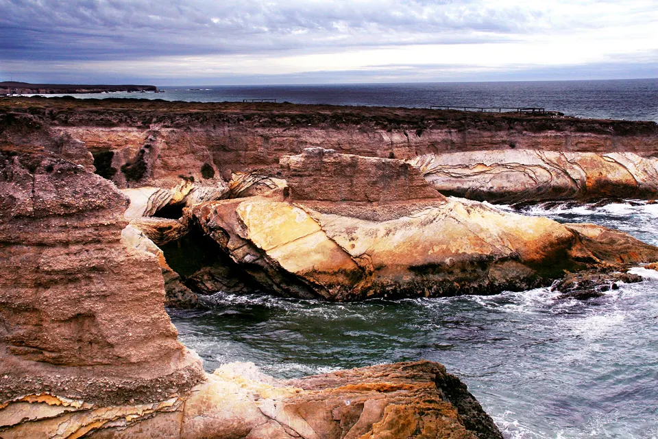
Los Osos, San Luis Obispo County, California
Montaña de Oro State Park, 15 miles west of San Luis Obispo, has rugged cliffs and secluded sandy beaches, and is popular for tide pooling as well as hiking and camping (California State Parks).1
Tide pooling on the San Luis Obispo coast: what to know
- Leave them be. At Hearst San Simeon State Park, tide pool plants and animals are vulnerable to human impact and protected by law, so leave them undisturbed.4
Best daylight low tides on the San Luis Obispo coast
Tide heights are measured from MLLW, the average of each day's lower low water, so a low below 0.0 ft uncovers more than an average day's low.5
Next low tides below 0.0 ft in daylight5
| Date | Low tide | Height |
|---|---|---|
| Sun 22 Nov 2026 | 2:31 PM | −0.37 ft |
| Mon 23 Nov 2026 | 3:15 PM | −0.92 ft |
| Tue 24 Nov 2026 | 4:02 PM | −1.29 ft |
| Wed 25 Nov 2026 | 4:52 PM | −1.46 ft |
| Sat 5 Dec 2026 | 2:15 PM | −0.13 ft |
| Sun 6 Dec 2026 | 2:54 PM | −0.42 ft |
| Mon 7 Dec 2026 | 3:31 PM | −0.59 ft |
| Tue 8 Dec 2026 | 4:06 PM | −0.64 ft |
| Wed 9 Dec 2026 | 4:42 PM | −0.62 ft |
| Sun 20 Dec 2026 | 1:36 PM | −0.24 ft |
| Mon 21 Dec 2026 | 2:22 PM | −0.93 ft |
| Tue 22 Dec 2026 | 3:07 PM | −1.45 ft |
Predictions from NOAA CO-OPS. Not for navigation. Station 9412110, Port San Luis. Heights in feet relative to MLLW, local time, rounded to 0.01 ft. We choose which lows to show; times and heights are NOAA's. Sunrise and sunset are our calculation for the tide station's position.67
Good low-tide days by month
Days each month with a low below 0.0 ft between sunrise and sunset. NOAA CO-OPS predictions.6
- 4Nov 26*
- 10Dec 26
- 12Jan 27
- 16Feb 27
- 15Mar 27
- 11Apr 27
- 10May 27
- 9Jun 27
- 6Jul 27
- 2Aug 27
- 1Sep 27
- 6Oct 27
* From 21 November 2026 only.
Sources
- California State Parks: Montaña de Oro State Park (opens in a new tab) · accessed 20 November 2026
- California State Parks: Cayucos State Beach (opens in a new tab) · accessed 20 November 2026
- California Department of Fish and Wildlife: Cambria State Marine Conservation Area and State Marine Park, and White Rock State Marine Conservation Area (opens in a new tab) · accessed 20 November 2026
- California State Parks: Hearst San Simeon State Park and Historical Monument brochure (PDF, 2015) (opens in a new tab) · page updated NaN undefined NaN · accessed 20 November 2026
- NOAA CO-OPS: Tidal Datums (MLLW: average of the lower low water height of each tidal day; the reference datum for predictions) (opens in a new tab) · accessed 17 November 2026
- NOAA CO-OPS: Tide predictions (high/low), station 9412110 Port San Luis; MLLW, feet, local time (opens in a new tab) · accessed 20 November 2026
- NOAA CO-OPS: Metadata API: station names and positions (9410166, 9410230, 9410580) (opens in a new tab) · accessed 17 November 2026
Each spot's own page has its full rules, access and sources. Know a spot we're missing? Tell us.