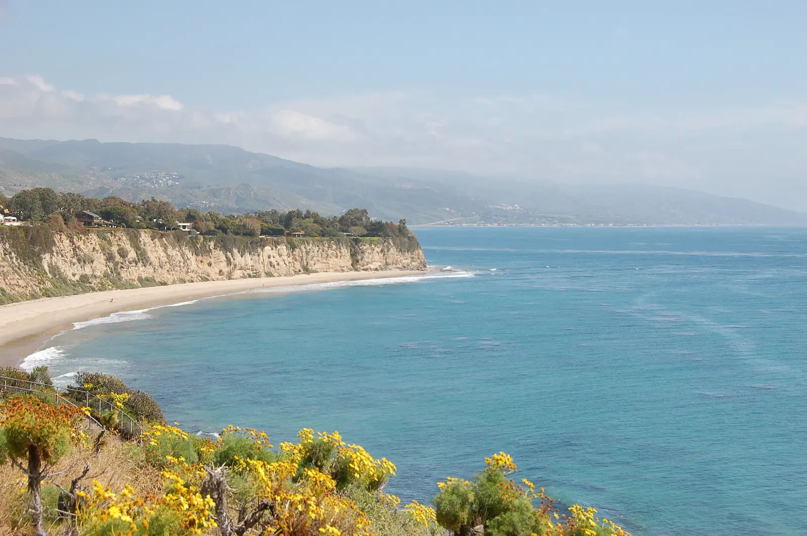
3 tide pool spots
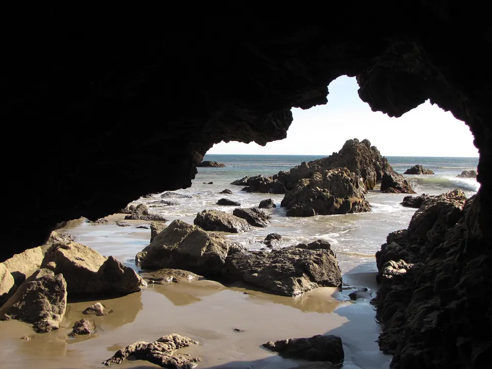
Malibu, Los Angeles County, California
Leo Carrillo State Park has 1.5 miles of beach, with reefs, tide pools and coastal caves to explore (California State Parks).3
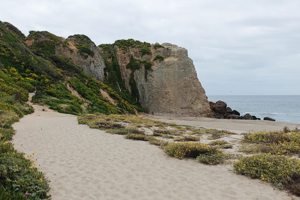
Malibu, Los Angeles County, California
Along the shore at Point Dume, volcanic rock weathers more slowly than the sedimentary stone around it, forming a network of shallow tidepools (CDFW).1
San Pedro, Los Angeles, California
LA County says White Point has some of the most diverse tide pools in Southern California, to the left of the road down to the beach.2
Tide pooling on the Los Angeles coast: what to know
- Take nothing. Point Dume's tidepools are in a marine protected area: in the state marine reserve, taking any marine resource is prohibited.1
Best daylight low tides on the Los Angeles coast
Tide heights are measured from MLLW, the average of each day's lower low water, so a low below 0.0 ft uncovers more than an average day's low.4
Next low tides below 0.0 ft in daylight4
| Date | Low tide | Height |
|---|---|---|
| Sun 22 Nov 2026 | 1:47 PM | −0.54 ft |
| Mon 23 Nov 2026 | 2:30 PM | −1.09 ft |
| Tue 24 Nov 2026 | 3:15 PM | −1.42 ft |
| Wed 25 Nov 2026 | 4:04 PM | −1.53 ft |
| Sat 5 Dec 2026 | 1:37 PM | −0.20 ft |
| Sun 6 Dec 2026 | 2:13 PM | −0.51 ft |
| Mon 7 Dec 2026 | 2:48 PM | −0.66 ft |
| Tue 8 Dec 2026 | 3:21 PM | −0.70 ft |
| Wed 9 Dec 2026 | 3:56 PM | −0.66 ft |
| Thu 10 Dec 2026 | 4:31 PM | −0.55 ft |
| Sun 20 Dec 2026 | 12:56 PM | −0.28 ft |
| Mon 21 Dec 2026 | 1:41 PM | −1.00 ft |
Predictions from NOAA CO-OPS. Not for navigation. Station 9410840, Santa Monica, Municipal Pier. Heights in feet relative to MLLW, local time, rounded to 0.01 ft. We choose which lows to show; times and heights are NOAA's. Sunrise and sunset are our calculation for the tide station's position.56
Good low-tide days by month
NOAA predicts no lows below 0.0 ft between sunrise and sunset in August; all 15 it predicts fall after dark. Daylight lows below 0.0 ft return in September.5
Days each month with a low below 0.0 ft between sunrise and sunset. NOAA CO-OPS predictions.5
- 4Nov 26*
- 12Dec 26
- 14Jan 27
- 16Feb 27
- 14Mar 27
- 10Apr 27
- 7May 27
- 6Jun 27
- 3Jul 27
- 0Aug 27
- 1Sep 27
- 10Oct 27
* From 21 November 2026 only.
Sources
- California Department of Fish and Wildlife: Point Dume State Marine Reserve/State Marine Conservation Area (opens in a new tab) · accessed 18 November 2026
- Los Angeles County Department of Beaches and Harbors: White Point / Royal Palms Beach (opens in a new tab) · accessed 18 November 2026
- California State Parks: Leo Carrillo State Park (opens in a new tab) · accessed 18 November 2026
- NOAA CO-OPS: Tidal Datums (MLLW: average of the lower low water height of each tidal day; the reference datum for predictions) (opens in a new tab) · accessed 17 November 2026
- NOAA CO-OPS: Tide predictions (high/low), station 9410840 Santa Monica, Municipal Pier; MLLW, feet, local time (opens in a new tab) · accessed 18 November 2026
- NOAA CO-OPS: Metadata API: station names and positions (9410166, 9410230, 9410580) (opens in a new tab) · accessed 17 November 2026
Each spot's own page has its full rules, access and sources. Know a spot we're missing? Tell us.