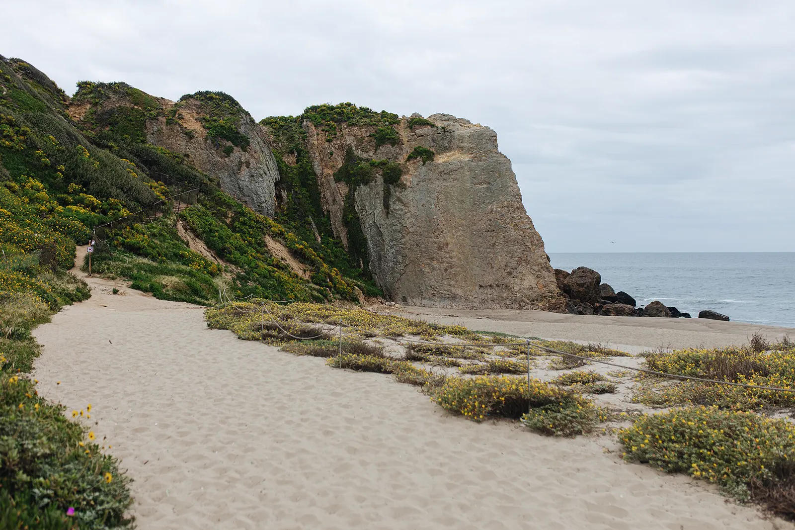
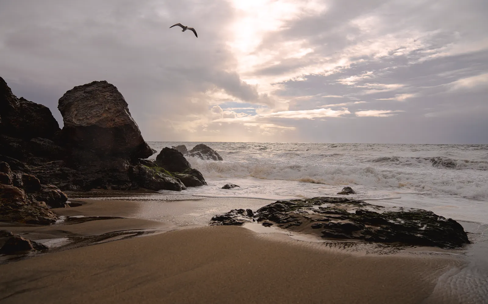
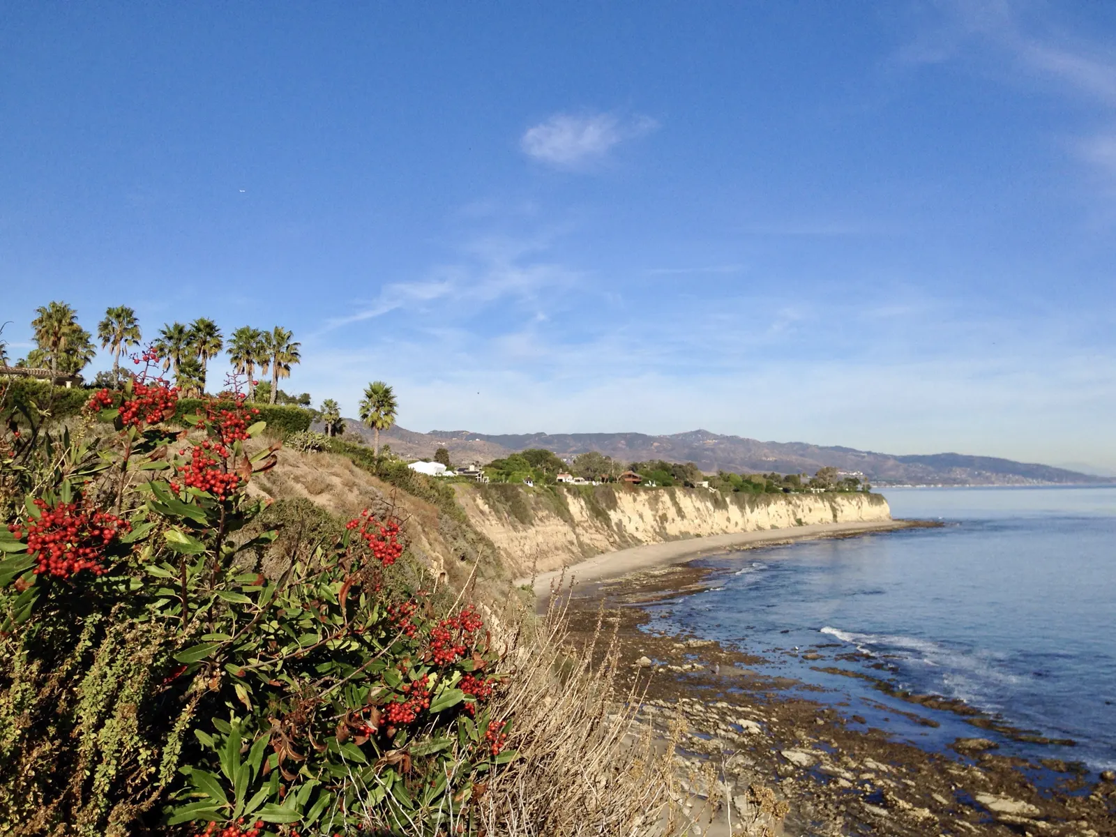
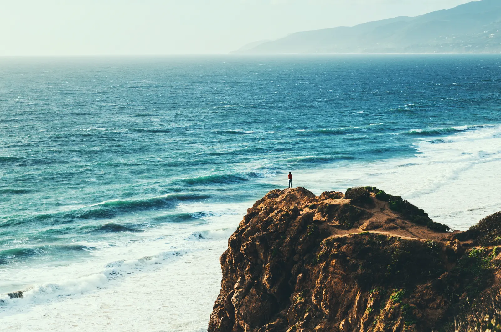
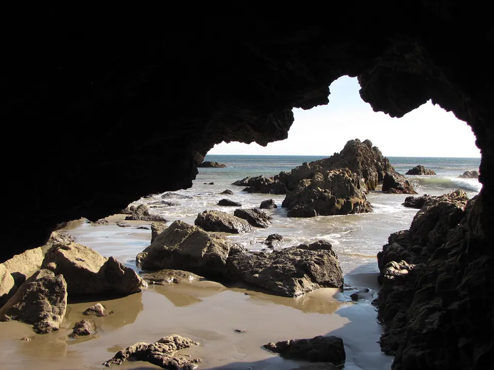
Along the shore at Point Dume, volcanic rock weathers more slowly than the sedimentary stone around it, forming a network of shallow tidepools (CDFW).1 Point Dume State Beach has headlands, cliffs, rocky coves and wide beach access, and is a place to watch gray whales from December to mid-April.2
In an emergency
Emergency: call 911- Non-emergency California State Parks (Point Dume State Beach): (310) 457-81442
- Nearest emergency department Santa Monica – UCLA Medical Center (emergency department), 1250 16th Street, Santa Monica, CA 90404, (310) 319-4000 (hospital main line)3,4
Nearest full-service emergency department by road distance (OpenStreetMap routing, checked 2026-11-18). No drive time is given. Address and emergency status from the state's hospital licensing record (HCAI: licensed basic emergency service). Phone from the federal CMS hospital record.
Best times to go
Tide heights are measured from MLLW, the average of each day's lower low water, so a low below 0.0 ft uncovers more than an average day's low.5
Next low tides below 0.0 ft in daylight5
| Date | Low tide | Height |
|---|---|---|
| Sun 22 Nov 2026 | 1:47 PM | −0.54 ft |
| Mon 23 Nov 2026 | 2:30 PM | −1.09 ft |
| Tue 24 Nov 2026 | 3:15 PM | −1.42 ft |
| Wed 25 Nov 2026 | 4:04 PM | −1.53 ft |
| Sat 5 Dec 2026 | 1:37 PM | −0.20 ft |
| Sun 6 Dec 2026 | 2:13 PM | −0.51 ft |
| Mon 7 Dec 2026 | 2:48 PM | −0.66 ft |
| Tue 8 Dec 2026 | 3:21 PM | −0.70 ft |
| Wed 9 Dec 2026 | 3:56 PM | −0.66 ft |
| Thu 10 Dec 2026 | 4:31 PM | −0.55 ft |
| Sun 20 Dec 2026 | 12:56 PM | −0.28 ft |
| Mon 21 Dec 2026 | 1:41 PM | −1.00 ft |
Predictions from NOAA CO-OPS. Not for navigation. Station 9410840, Santa Monica, Municipal Pier. Heights in feet relative to MLLW, local time, rounded to 0.01 ft. We choose which lows to show; times and heights are NOAA's. Sunrise and sunset are our calculation for the tide station's position.67
Hours, fees and status
- Day-use parking
- Sunrise to sunset2
- Parking
- Free 2-hour parking at the top of Point Dume; extremely limited2
Posted 28 August 2026: road access to the lower parking lot is unavailable because Westward Beach Road is closed. The beach is still accessible.2
Rules
Point Dume's tidepools are in the Point Dume State Marine Reserve and Conservation Area. In the reserve, taking any marine resource is prohibited. In the conservation area, the only take allowed is recreational spearfishing for white seabass and pelagic finfish (CDFW).1
- Take nothing. Take of all marine resources is prohibited in the Point Dume State Marine Reserve.1
- Tread lightly. Tread lightly on the rocks to avoid stepping on marine life, and leave animals in their homes (CDFW).1
- No dogs. Dogs aren't allowed on the trails or the beach.2
- Stay on the trail. Stay on the trail through the preserve, to protect its ancient bluff sand dune.2
What you'll see
Animals CDFW names in the tidepools of the Point Dume marine protected areas.1
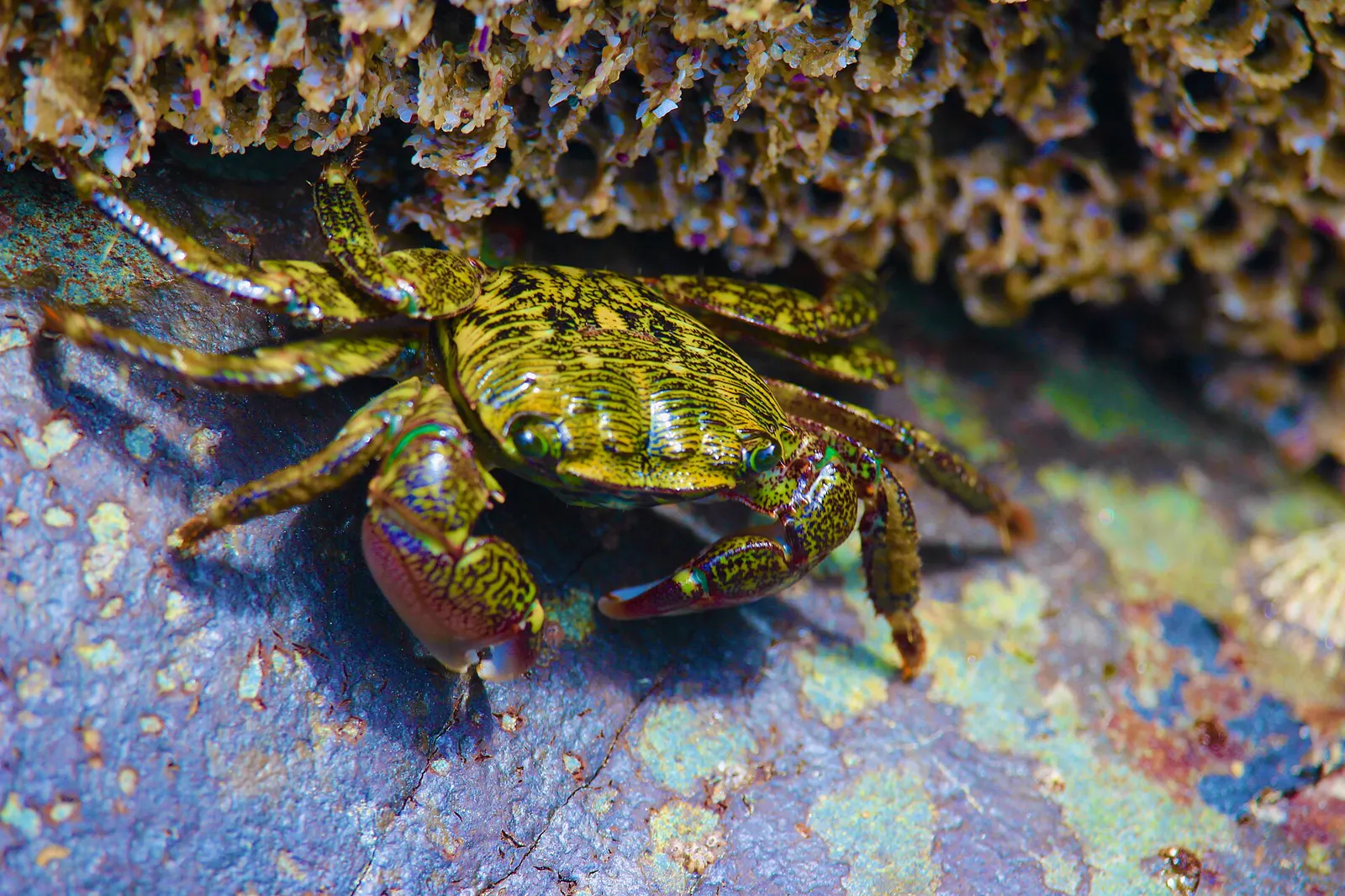
Crabs live even in the high, splash zone of the tidepools, alongside barnacles, limpets, chitons and mussels.8 The shore crab is commonly found in rock crevices in the mid to high intertidal.9
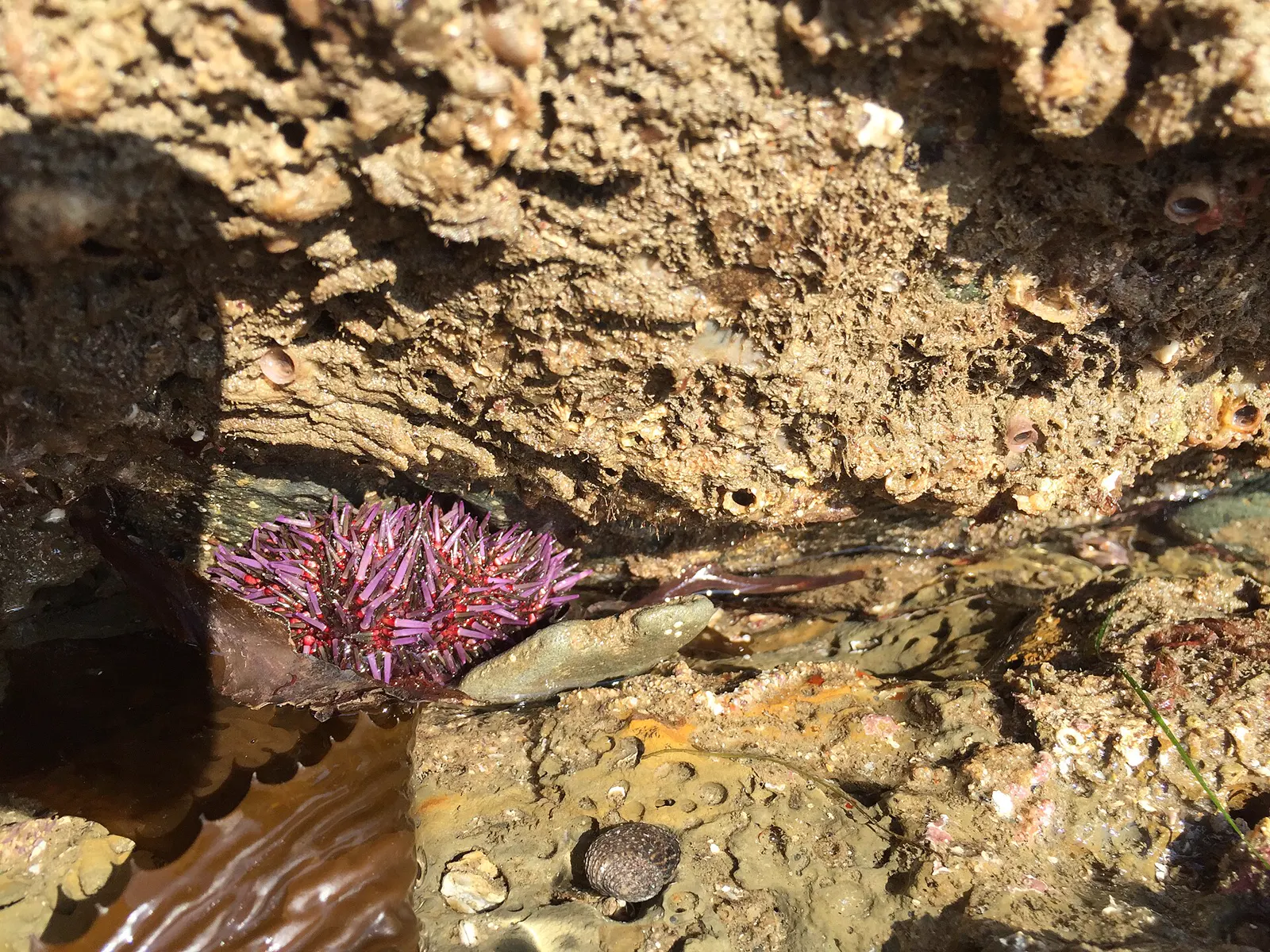
Sea urchins live in tide pools in the lower intertidal zone and are abundant below the tide line.10 Purple sea urchins graze on algae and help control how dense kelp forests become.11
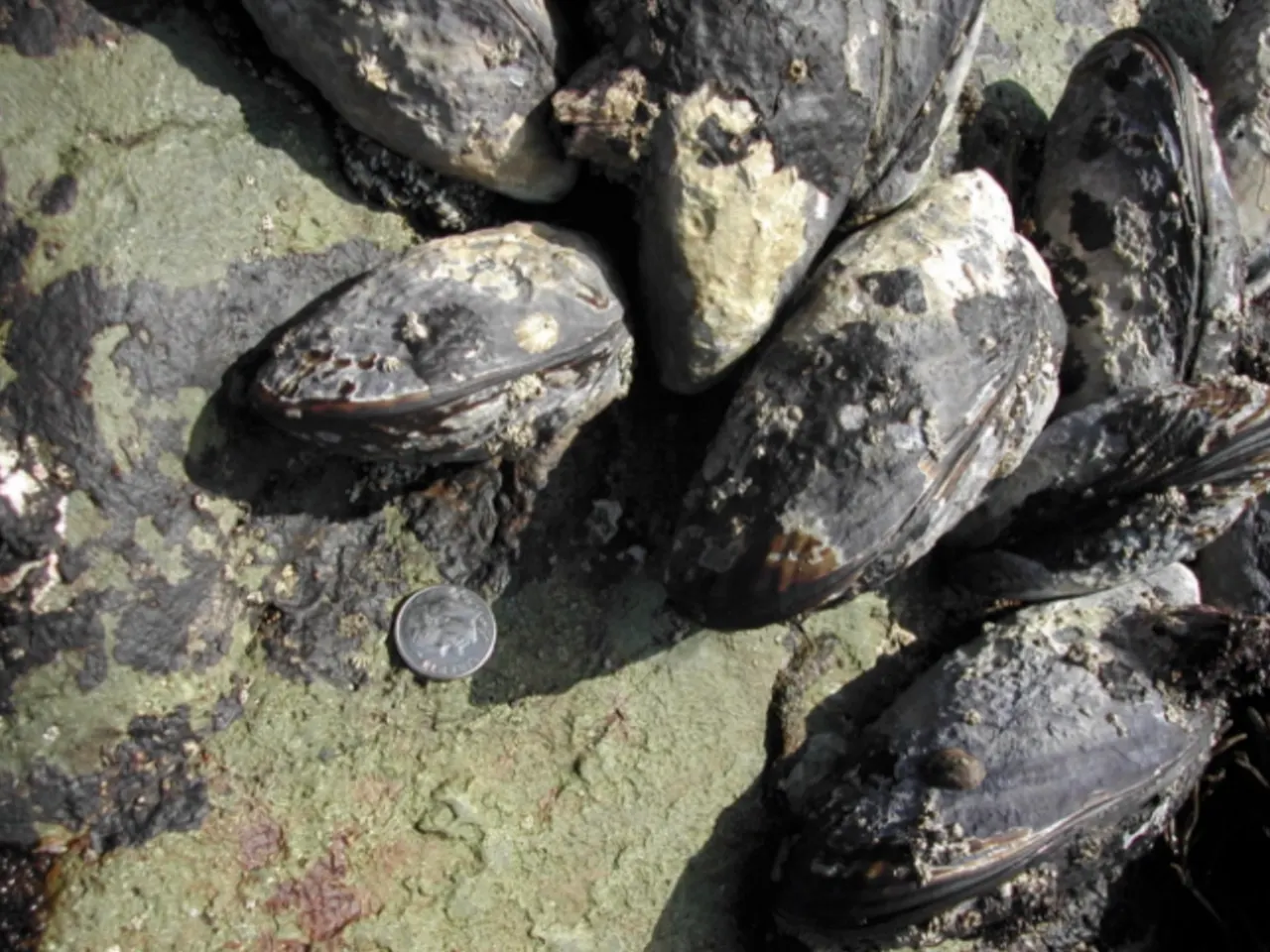
California mussels grow in beds held firmly to the rocks by tough strands. Their shells are tear-shaped and dark blue-black.9 They are commonly 3 to 5 inches long and open at high tide to filter plankton from the water.9
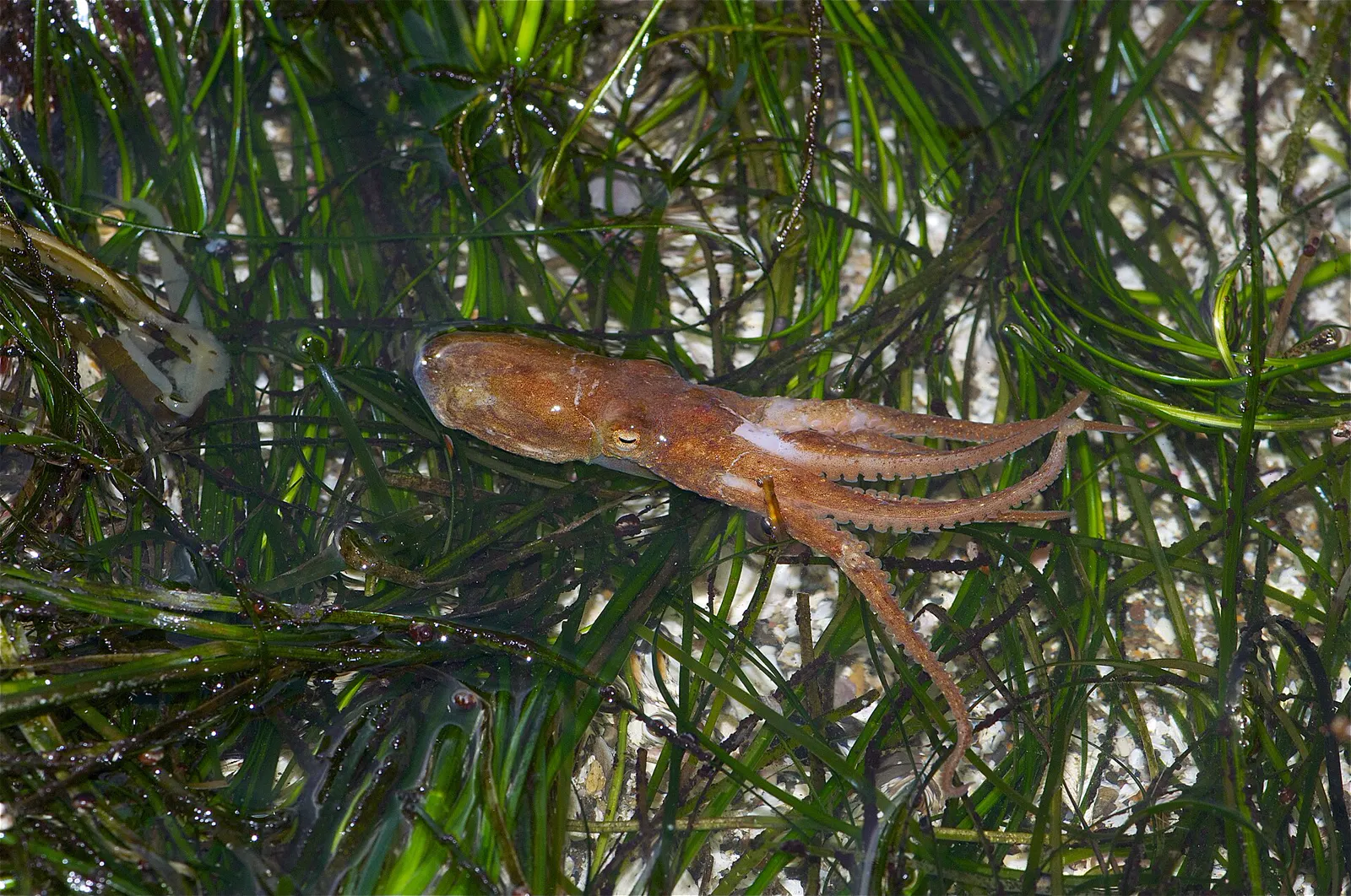
Octopuses are among the animals found in the low zone of the tidepools at Cabrillo National Monument.8 Octopuses are secretive and hide in holes or crevices.9
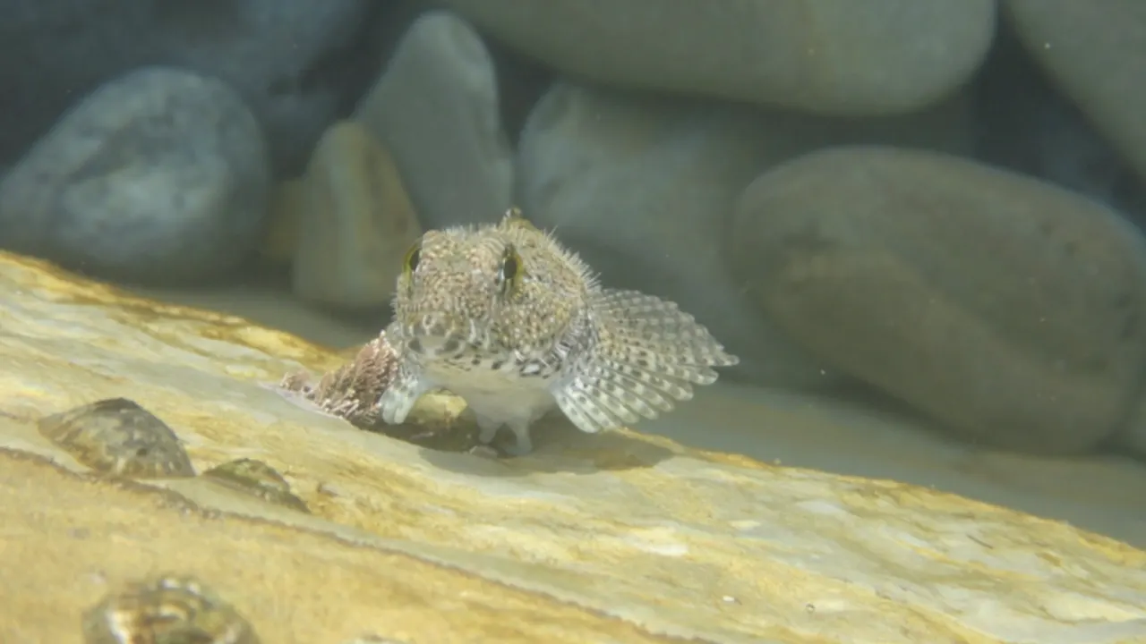
When the tide goes out, small fish are among the animals left behind in isolated tidepools.8 Many fish feed in the intertidal zone at high tide, but most leave as the tide ebbs.12 A few kinds stay behind, hiding in tidepools under rocks or in mussel beds.12
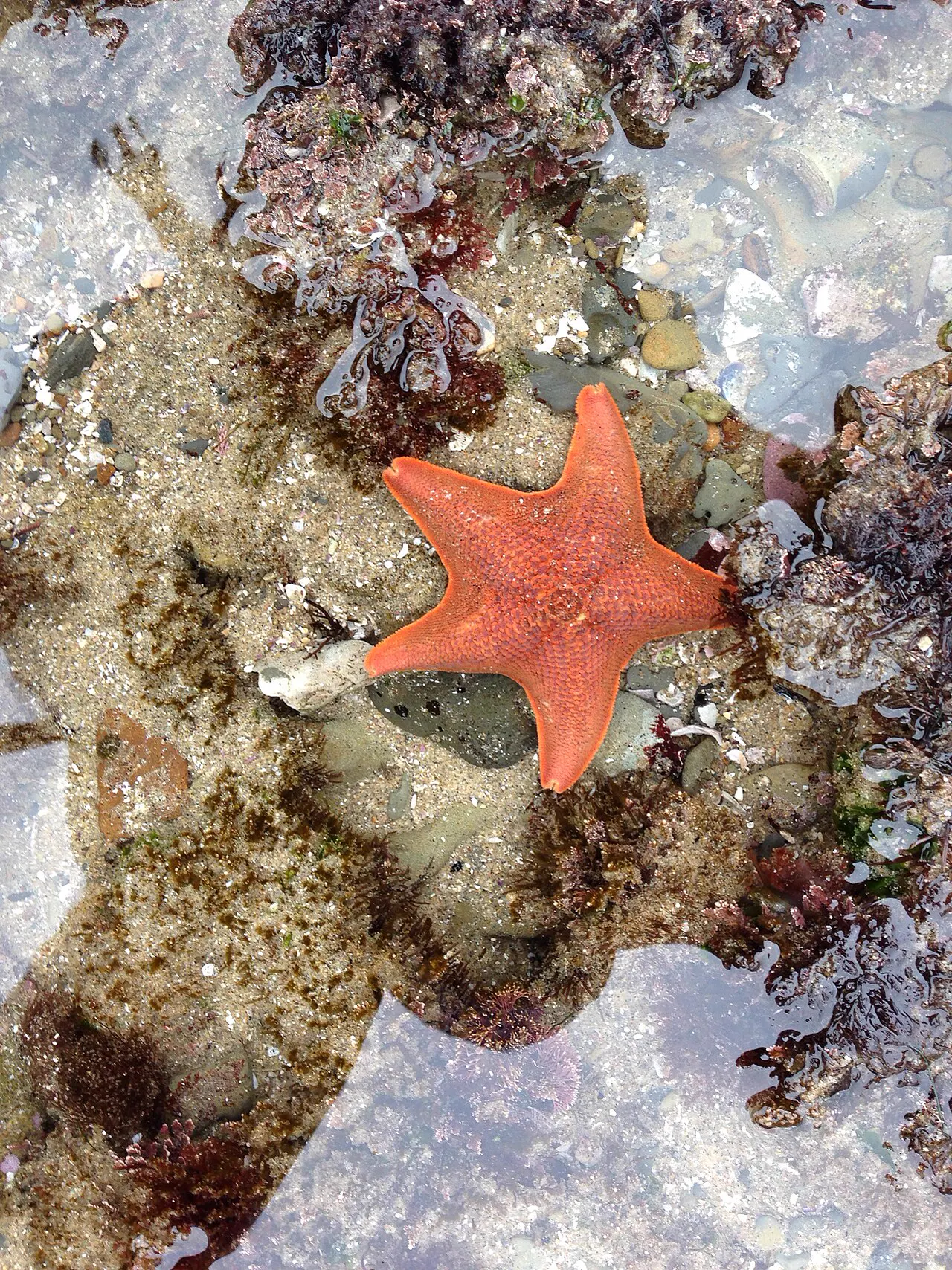
Sea stars are sturdy, flexible predators of the rocky intertidal zone.10 Some species, such as the ochre sea star, play an especially important role in the rocky shore community.13 A wasting disease killed huge numbers of sea stars along the Pacific coast of North America in 2013 and 2014.14
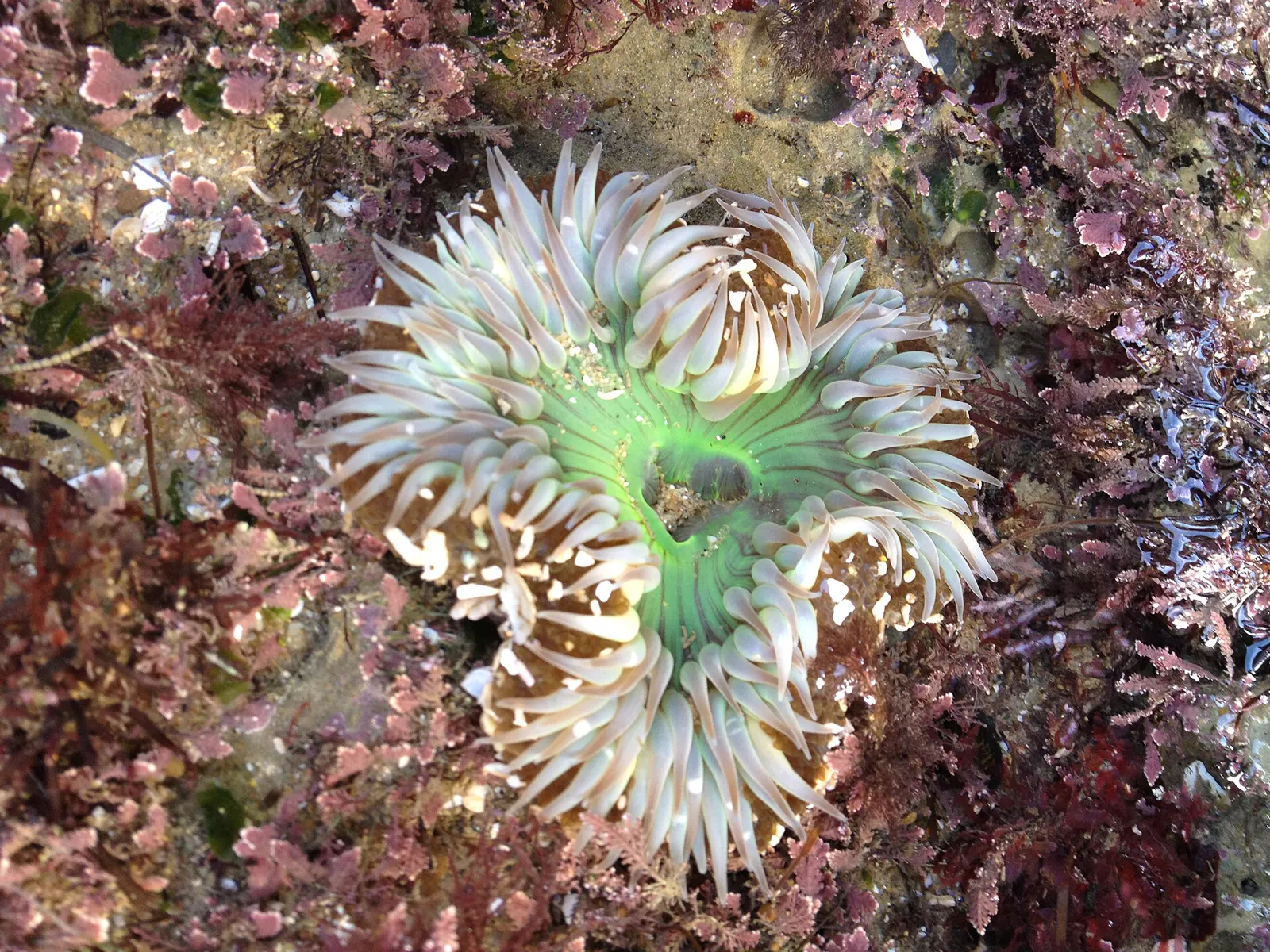
The giant green anemone and the slightly smaller aggregating anemone are both common in tidepools.15 Anemones have no hard shell. Their soft, flexible bodies bend with the moving water.16 They catch prey with stinging cells called nematocysts.9
Stay safe
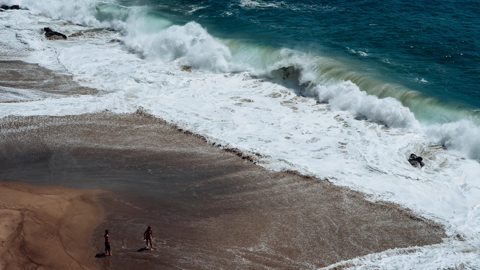
- Never turn your back to the ocean. Never turn your back to the ocean: large waves can hit the shore without warning, and the backwash can knock you off your feet and drag both children and adults into deep water (California State Parks).17
- Sneaker waves. Sneaker waves often come with no warning after long periods of quiet surf and much smaller waves, lulls that can last 10 to 20 minutes (National Weather Service).18
- Grip and timing. Wear shoes that give you a good grip on slippery rocks, and check the tide chart so you start as the tide is on its way out (California Coastal Commission).19
Read more: ocean safety · shore safety · weather · first aid
Getting there
- Free 2-hour parking is at the top of Point Dume. It's extremely limited, and there's no parking in the residential streets.2
- Some disabled parking is along Cliffside Drive, next to the bluff-top park area.2
- Access to Point Dume State Preserve starts from the cul-de-sac at the end of Westward Beach Road, which is closed to the lower lot for now (see the alert).2
Point Dume State Beach
Directions to Point Dume State Beach, using the map point California State Parks gives for the park. Westward Beach Road is closed to the lower lot for now.2 Loads Google Maps when you tap.
Photos of this spot
Nearby tide pools
Page history
- : Point Dume added
Sources
- California Department of Fish and Wildlife: Point Dume State Marine Reserve/State Marine Conservation Area (opens in a new tab) · accessed 18 November 2026
- California State Parks: Point Dume State Beach (opens in a new tab) · accessed 18 November 2026
- California Department of Health Care Access and Information (HCAI): Licensed Healthcare Facility Listing: SANTA MONICA - UCLA MEDICAL CENTER AND ORTHOPAEDIC HOSPITAL (OSHPD ID 106190687) (opens in a new tab) · accessed 18 November 2026
- Centers for Medicare & Medicaid Services (CMS): Hospital General Information: Santa Monica - Ucla Med Ctr & Orthopaedic Hospital (facility 050112) (opens in a new tab) · accessed 18 November 2026
- NOAA CO-OPS: Tidal Datums (MLLW: average of the lower low water height of each tidal day; the reference datum for predictions) (opens in a new tab) · accessed 17 November 2026
- NOAA CO-OPS: Tide predictions (high/low), station 9410840 Santa Monica, Municipal Pier; MLLW, feet, local time (opens in a new tab) · accessed 18 November 2026
- NOAA CO-OPS: Metadata API: station names and positions (9410166, 9410230, 9410580) (opens in a new tab) · accessed 17 November 2026
- National Park Service: Cabrillo National Monument: The Rocky Intertidal Zone (opens in a new tab) · page updated 31 October 2026 · accessed 17 November 2026
- National Park Service, Cabrillo National Monument: Intertidal Field Guide (opens in a new tab) · page updated 25 June 2021 · accessed 17 November 2026
- National Park Service, Point Reyes National Seashore: Echinoderms (opens in a new tab) · page updated 19 September 2022 · accessed 17 November 2026
- MARINe (Multi-Agency Rocky Intertidal Network), UC Santa Cruz: Strongylocentrotus purpuratus (Purple Urchin) (opens in a new tab) · page updated 7 August 2025 · accessed 17 November 2026
- National Park Service, Glacier Bay National Park & Preserve: Fish in the Intertidal Zone (opens in a new tab) · page updated 16 March 2018 · accessed 17 November 2026
- National Park Service, Redwood National and State Parks: Sea Stars (opens in a new tab) · page updated 7 December 2020 · accessed 17 November 2026
- MARINe (Multi-Agency Rocky Intertidal Network), UC Santa Cruz: Sea Star Wasting Disease (opens in a new tab) · page updated 6 October 2026 · accessed 17 November 2026
- National Park Service, Channel Islands National Park: Anemone (opens in a new tab) · page updated 21 May 2021 · accessed 17 November 2026
- National Park Service, Klamath Inventory and Monitoring Network: On the Edge: The Curious Lives of Intertidal Organisms and How We Monitor Them (opens in a new tab) · page updated 28 November 2022 · accessed 17 November 2026
- California State Parks: Swimming Safety Tips (opens in a new tab) · accessed 18 November 2026
- National Weather Service (NOAA): Sneaker/High Waves and Log Rolls Can Be Deadly (opens in a new tab) · accessed 18 November 2026
- California Coastal Commission: Tidepooling (opens in a new tab) · accessed 18 November 2026
Checked against the sources above on 18 November 2026. Hours, fees and rules can change without notice, so check with the California State Parks (Point Dume State Beach) before you go. Not affiliated with or endorsed by the California State Parks (Point Dume State Beach) or NOAA.
Report a change
Visited recently and something's different? Reports go to review first. They don't change the page until we check them against the official source.
Send a report How reports work