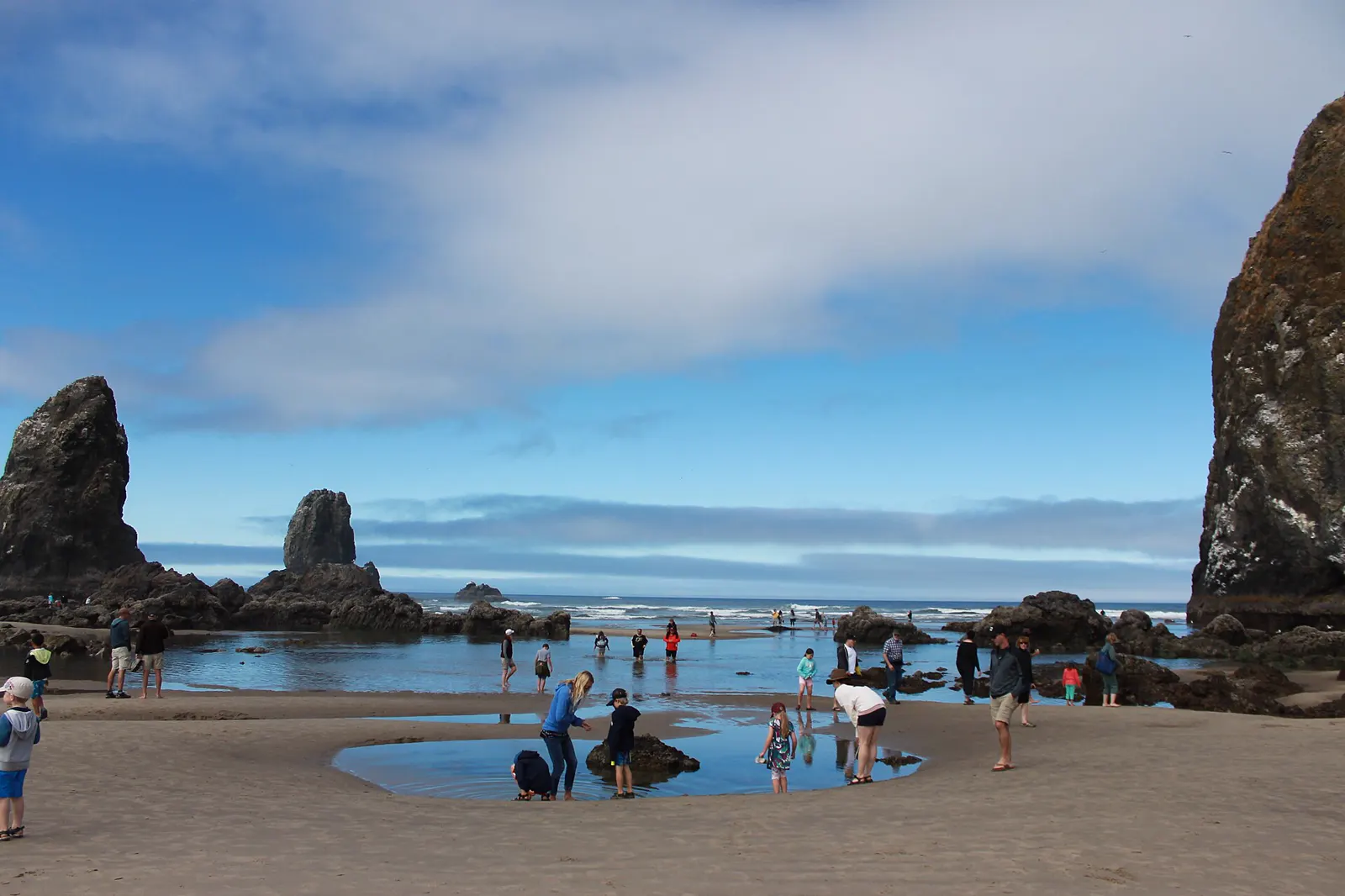
6 tide pool spots
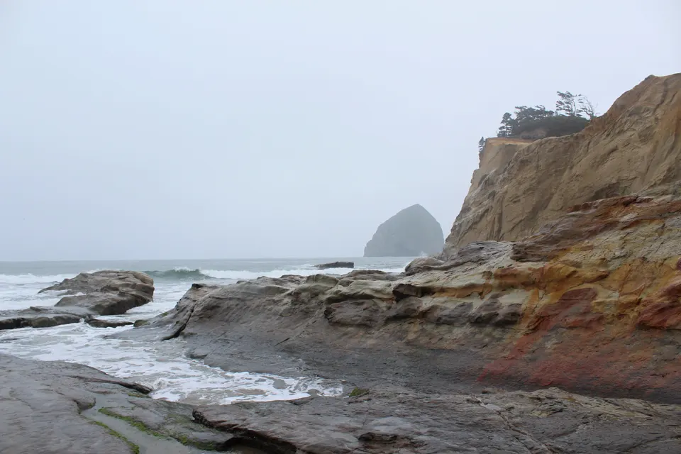
Pacific City, Tillamook County, Oregon
Cape Kiwanda is a sandstone headland, with cliffs of 100 feet or more and an easily accessible intertidal area on its south side, next to Pacific City.5
North end of Cannon Beach, Clatsop County, Oregon
At the northern edge of Cannon Beach, the state describes the rocky habitat at Chapman Point as having tide pools full of life.2
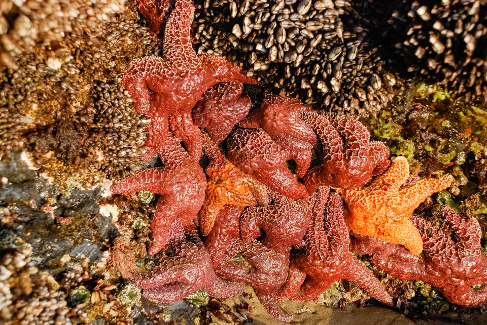
Ecola State Park, north of Cannon Beach, Clatsop County, Oregon
Oregon State Parks describes Indian Beach as a secluded sandy beach, popular with surfers and beachgoers, offering tide pools and scenic splendor.6
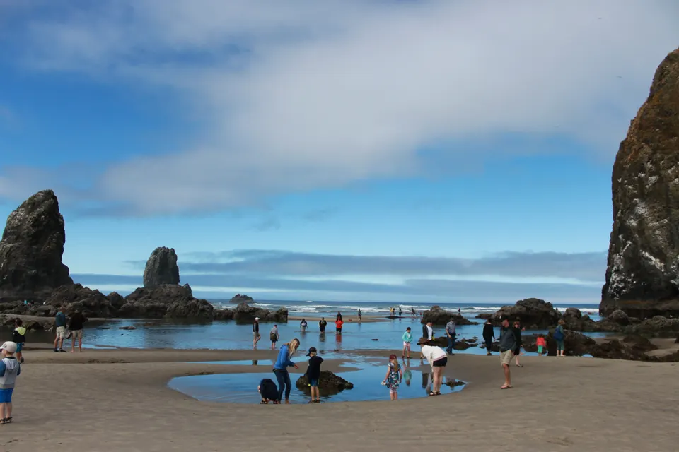
Cannon Beach, Clatsop County, Oregon
Haystack Rock is protected as an Oregon Marine Garden and is a popular place for tidepooling; at low tide you can walk right up to the rock (National Park Service).1
Oceanside, west of Tillamook, Tillamook County, Oregon
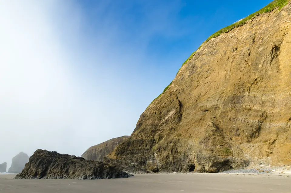
In the center of the community of Oceanside, Oregon State Parks says this park is a popular place in summer to beachcomb, explore tidepools and surf.4
Oswald West State Park, south of Cannon Beach, Tillamook County, Oregon
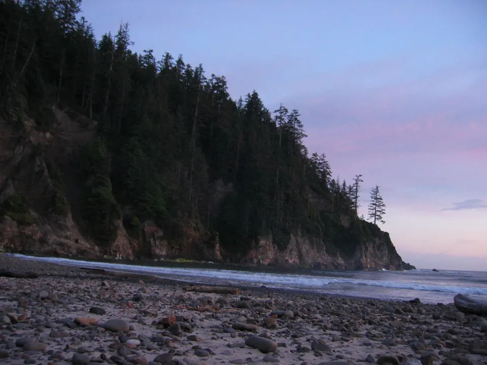
ODFW says there are rocky intertidal habitats north and south of Short Sand Beach, where you can spot mussels and sea anemones attached to the rocks.7
Tide pooling on the north Oregon coast: what to know
- Marine Gardens protect the pools. Haystack Rock, Chapman Point and Cape Kiwanda are Marine Gardens: closed to the take of marine invertebrates except single mussels for bait, with no seaweed collecting.8
- Short Sand is a marine reserve. The rocky shore at Short Sand Beach is in Cape Falcon Marine Reserve, where nothing may be taken.9
- Go at zero or lower. Oregon State Parks says tides of zero feet and lower are best, and to arrive at least an hour before low tide.3
Best daylight low tides on the north Oregon coast
Tide heights are measured from MLLW, the average of each day's lower low water, so a low below 0.0 ft uncovers more than an average day's low.10
Next low tides below 0.0 ft in daylight10
| Date | Low tide | Height |
|---|---|---|
| Sun 22 Nov 2026 | 4:32 PM | −0.58 ft |
| Mon 21 Dec 2026 | 4:12 PM | −0.74 ft |
| Tue 19 Jan 2027 | 3:56 PM | −0.67 ft |
| Wed 20 Jan 2027 | 4:50 PM | −1.34 ft |
| Wed 17 Feb 2027 | 3:40 PM | −0.50 ft |
| Thu 18 Feb 2027 | 4:34 PM | −1.00 ft |
| Fri 19 Feb 2027 | 5:21 PM | −1.27 ft |
| Thu 18 Mar 2027 | 4:17 PM | −0.19 ft |
| Fri 19 Mar 2027 | 5:09 PM | −0.39 ft |
| Sat 20 Mar 2027 | 5:54 PM | −0.38 ft |
| Sun 21 Mar 2027 | 6:35 PM | −0.14 ft |
| Tue 23 Mar 2027 | 7:44 AM | −0.46 ft |
Predictions from NOAA CO-OPS. Not for navigation. Station 9437585, North Jetty, Tillamook Bay. Heights in feet relative to MLLW, local time, rounded to 0.01 ft. We choose which lows to show; times and heights are NOAA's. Sunrise and sunset are our calculation for the tide station's position.1112
Good low-tide days by month
Days each month with a low below 0.0 ft between sunrise and sunset. NOAA CO-OPS predictions.11
- 1Nov 26*
- 1Dec 26
- 2Jan 27
- 3Feb 27
- 8Mar 27
- 13Apr 27
- 16May 27
- 17Jun 27
- 15Jul 27
- 11Aug 27
- 3Sep 27
- 1Oct 27
* From 21 November 2026 only.
Sources
- National Park Service (Lewis and Clark National Historic Trail): Haystack Rock at the Oregon Islands National Wildlife Refuge (opens in a new tab) · accessed 18 November 2026
- Oregon Department of Land Conservation and Development (Oregon Ocean Information): Chapman Point Marine Garden (opens in a new tab) · accessed 18 November 2026
- Oregon Parks and Recreation Department: Oregon's Rocky Intertidal Areas (brochure 63400-8136, 5/2018) (opens in a new tab) · accessed 18 November 2026
- Oregon Parks and Recreation Department: Oceanside Beach State Recreation Site (opens in a new tab) · accessed 18 November 2026
- Oregon Department of Land Conservation and Development (Oregon Ocean Information): Cape Kiwanda Marine Garden (opens in a new tab) · accessed 18 November 2026
- Oregon Parks and Recreation Department: Ecola State Park (opens in a new tab) · accessed 18 November 2026
- Oregon Department of Fish and Wildlife (Oregon Marine Reserves): Cape Falcon Marine Reserve (opens in a new tab) · accessed 18 November 2026
- State of Oregon (Territorial Sea Plan, Rocky Habitat Management Strategy; hosted by the Department of State Lands): Appendix A/E: Rocky Habitat Designations and Map (as of April 2023) (opens in a new tab) · accessed 18 November 2026
- Oregon Department of Fish and Wildlife: Cape Falcon Marine Reserve: shoreside map (opens in a new tab) · accessed 18 November 2026
- NOAA CO-OPS: Tidal Datums (MLLW: average of the lower low water height of each tidal day; the reference datum for predictions) (opens in a new tab) · accessed 17 November 2026
- NOAA CO-OPS: Tide predictions (high/low), station 9437585 North Jetty, Tillamook Bay; MLLW, feet, local time (opens in a new tab) · accessed 18 November 2026
- NOAA CO-OPS: Metadata API: station names and positions (9410166, 9410230, 9410580) (opens in a new tab) · accessed 17 November 2026
Each spot's own page has its full rules, access and sources. Know a spot we're missing? Tell us.