4 tide pool spots
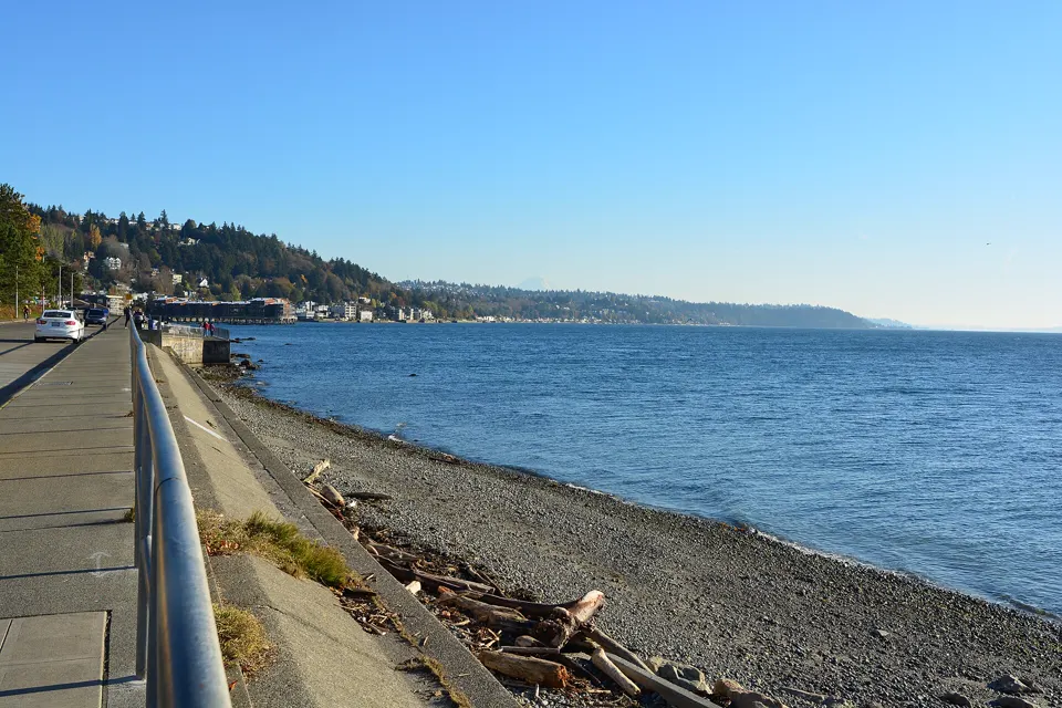
Alki Point, West Seattle, Washington
The Seattle Aquarium calls Constellation Park, on the south side of Alki Point, a great place for any age group to go tide pooling, with lots of room to explore the intertidal.3
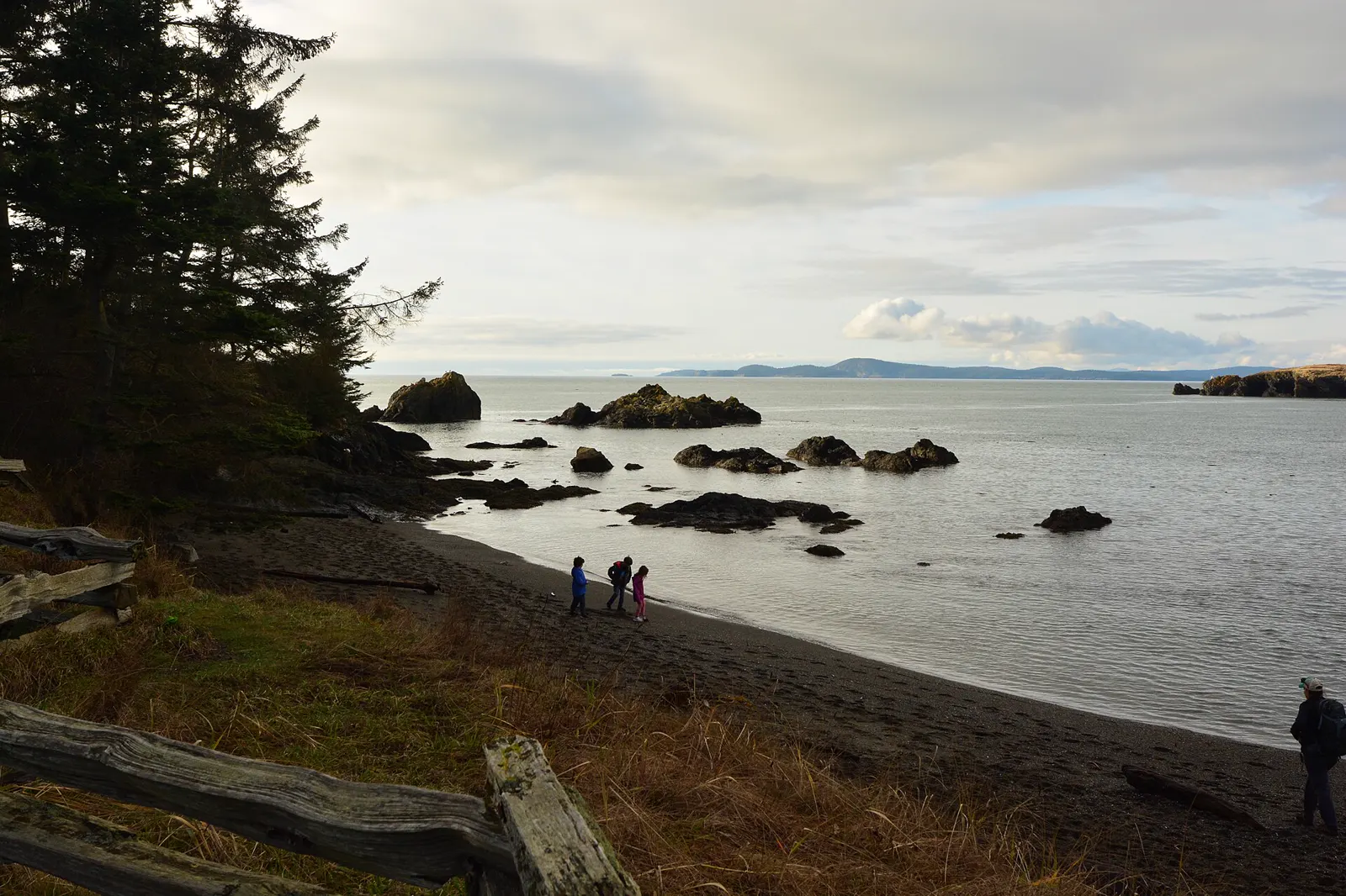
American Camp, San Juan Island National Historical Park, Washington
The National Park Service says Granny's Cove has excellent tidepools and good opportunities for wildlife viewing.4
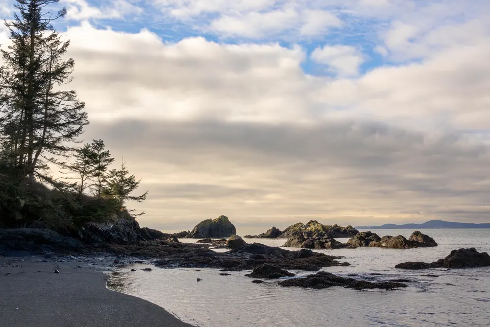
Fidalgo Island, Deception Pass State Park, Washington
Washington State Parks names the Rosario Tide Pools at Deception Pass State Park as one of the most exciting ways to explore Washington's beaches.1
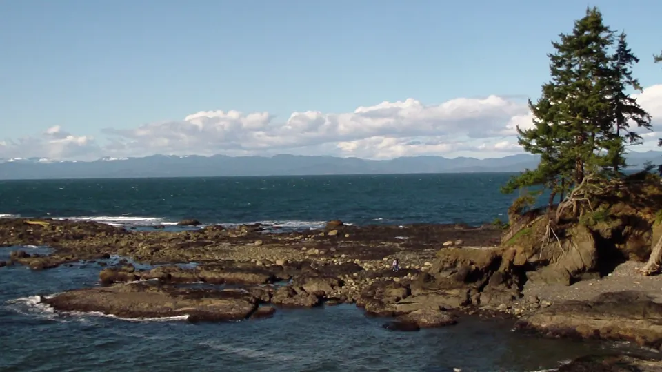
Salt Creek Recreation Area, Clallam County, Washington
Tongue Point, at the west end of Salt Creek Recreation Area, offers some of the best tide pool habitat in Washington State (WDFW).2
Tide pooling on the Salish Sea: what to know
- Soft mud. Low tide in Puget Sound can expose mudflats soft enough to trap your feet: don't walk too far out (Washington State Parks).1
Best daylight low tides on the Salish Sea
Tide heights are measured from MLLW, the average of each day's lower low water, so a low below 0.0 ft uncovers more than an average day's low.5
Next low tides below 0.0 ft in daylight5
| Date | Low tide | Height |
|---|---|---|
| Fri 12 Mar 2027 | 1:31 PM | −0.11 ft |
| Sat 13 Mar 2027 | 2:18 PM | −0.47 ft |
| Sun 14 Mar 2027 | 4:12 PM | −0.55 ft |
| Mon 15 Mar 2027 | 5:15 PM | −0.48 ft |
| Tue 16 Mar 2027 | 6:24 PM | −0.41 ft |
| Wed 24 Mar 2027 | 1:07 PM | −0.31 ft |
| Thu 25 Mar 2027 | 1:45 PM | −0.65 ft |
| Fri 26 Mar 2027 | 2:26 PM | −0.61 ft |
| Sat 27 Mar 2027 | 3:09 PM | −0.26 ft |
| Wed 7 Apr 2027 | 12:03 PM | −0.09 ft |
| Thu 8 Apr 2027 | 12:39 PM | −1.03 ft |
| Fri 9 Apr 2027 | 1:18 PM | −1.66 ft |
Predictions from NOAA CO-OPS. Not for navigation. Station 9447130, SEATTLE (Madison St.), Elliott Bay. Heights in feet relative to MLLW, local time, rounded to 0.01 ft. We choose which lows to show; times and heights are NOAA's. Sunrise and sunset are our calculation for the tide station's position.67
Good low-tide days by month
Winter low tides here fall at night. NOAA predicts no lows below 0.0 ft between sunrise and sunset from November to February, and 53 after dark. Daylight lows below 0.0 ft return in March.6
Days each month with a low below 0.0 ft between sunrise and sunset. NOAA CO-OPS predictions.6
- 0Nov 26*
- 0Dec 26
- 0Jan 27
- 0Feb 27
- 9Mar 27
- 15Apr 27
- 17May 27
- 19Jun 27
- 21Jul 27
- 16Aug 27
- 2Sep 27
- 0Oct 27
* From 21 November 2026 only.
Sources
- Washington State Parks: Beach Exploration (opens in a new tab) · accessed 18 November 2026
- Washington Department of Fish and Wildlife: Salt Creek Recreation Area (shellfish beach 230040) (opens in a new tab) · accessed 18 November 2026
- Seattle Aquarium: Constellation Park (beach guide for groups) (opens in a new tab) · accessed 18 November 2026
- National Park Service (San Juan Island National Historical Park): Beaches (opens in a new tab) · accessed 18 November 2026
- NOAA CO-OPS: Tidal Datums (MLLW: average of the lower low water height of each tidal day; the reference datum for predictions) (opens in a new tab) · accessed 17 November 2026
- NOAA CO-OPS: Tide predictions (high/low), station 9447130 SEATTLE (Madison St.), Elliott Bay; MLLW, feet, local time (opens in a new tab) · accessed 18 November 2026
- NOAA CO-OPS: Metadata API: station names and positions (9410166, 9410230, 9410580) (opens in a new tab) · accessed 17 November 2026
Each spot's own page has its full rules, access and sources. Know a spot we're missing? Tell us.