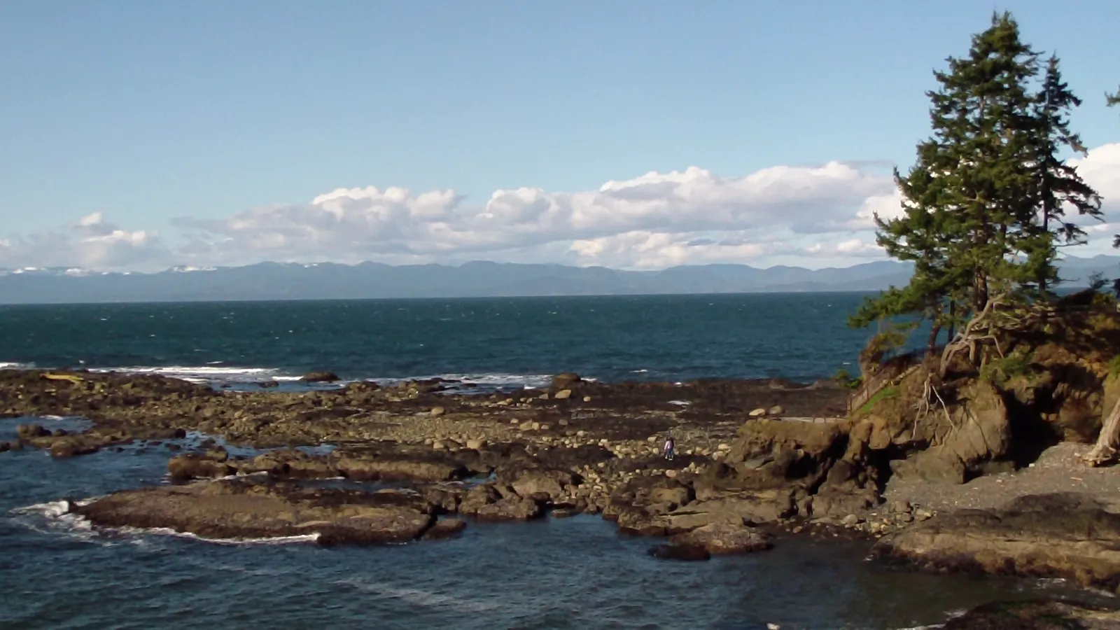
Tongue Point, at the west end of Salt Creek Recreation Area, offers some of the best tide pool habitat in Washington State (WDFW).1 No harvest of any form of marine life is allowed there, by county ordinance (WDFW).1
In an emergency
Emergency: call 911- Nearest emergency department Olympic Medical Center (emergency services), 939 Caroline St, Port Angeles, WA 98362, (360) 417-7000 (hospital main line)2
Nearest full-service emergency department by road distance (OpenStreetMap routing, checked 2026-11-18). No drive time is given. Address, phone and emergency services from the federal CMS hospital record (the hospital's own site couldn't be read).
Best times to go
Tide heights are measured from MLLW, the average of each day's lower low water, so a low below 0.0 ft uncovers more than an average day's low.3
Next low tides below 0.0 ft in daylight3
| Date | Low tide | Height |
|---|---|---|
| Sun 17 Jan 2027 | 3:38 PM | −0.38 ft |
| Mon 18 Jan 2027 | 4:30 PM | −1.17 ft |
| Mon 1 Feb 2027 | 4:52 PM | −0.02 ft |
| Sun 14 Feb 2027 | 1:59 PM | −0.17 ft |
| Mon 15 Feb 2027 | 3:02 PM | −0.62 ft |
| Tue 16 Feb 2027 | 4:05 PM | −1.01 ft |
| Wed 17 Feb 2027 | 5:04 PM | −1.31 ft |
| Fri 12 Mar 2027 | 10:36 AM | −0.01 ft |
| Sat 13 Mar 2027 | 11:24 AM | −0.38 ft |
| Sun 14 Mar 2027 | 1:19 PM | −0.57 ft |
| Mon 15 Mar 2027 | 2:22 PM | −0.61 ft |
| Tue 16 Mar 2027 | 3:31 PM | −0.59 ft |
Predictions from NOAA CO-OPS. Not for navigation. Station 9443826, Crescent Bay. Heights in feet relative to MLLW, local time, rounded to 0.01 ft. We choose which lows to show; times and heights are NOAA's. Sunrise and sunset are our calculation for the tide station's position.45
Rules
Clallam County Code 23.03.140(5) prohibits removing any form of marine life, including clams and mussels, from the tidelands of the Salt Creek Recreation Area (WDFW).1
Good practice
Tide pool advice from other agencies, credited to each. These aren't rules for this spot.
- Tread lightly. Minimize your impact on the delicate, fragile intertidal ecosystem, and leave natural habitats where you found them (Washington State Parks).6
Stay safe
- Cold water. Even on warm, sunny days, Washington's water stays cold. Rip currents, waves and cold-water shock can be dangerous, especially for children (Washington State Parks).6
Read more: ocean safety · weather · first aid
Getting there
- Tongue Point can also be reached from the parking and access area at the mouth of Salt Creek, on the east side of the creek, which also reaches the beach's sand flat (WDFW).1
Photos of this spot
Nearby tide pools
Page history
- : Tongue Point: rules updated
- : Tongue Point: good-practice advice added
- : Tongue Point added
Sources
- Washington Department of Fish and Wildlife: Salt Creek Recreation Area (shellfish beach 230040) (opens in a new tab) · accessed 18 November 2026
- Centers for Medicare & Medicaid Services (CMS): Hospital General Information: Olympic Medical Center (facility 500072) (opens in a new tab) · accessed 18 November 2026
- NOAA CO-OPS: Tidal Datums (MLLW: average of the lower low water height of each tidal day; the reference datum for predictions) (opens in a new tab) · accessed 17 November 2026
- NOAA CO-OPS: Tide predictions (high/low), station 9443826 Crescent Bay; MLLW, feet, local time (opens in a new tab) · accessed 18 November 2026
- NOAA CO-OPS: Metadata API: station names and positions (9410166, 9410230, 9410580) (opens in a new tab) · accessed 17 November 2026
- Washington State Parks: Beach Exploration (opens in a new tab) · accessed 18 November 2026
Checked against the sources above on 18 November 2026. Hours, fees and rules can change without notice, so check with the Clallam County (Salt Creek Recreation Area) before you go. Not affiliated with or endorsed by the Clallam County (Salt Creek Recreation Area) or NOAA.
Report a change
Visited recently and something's different? Reports go to review first. They don't change the page until we check them against the official source.
Send a report How reports work