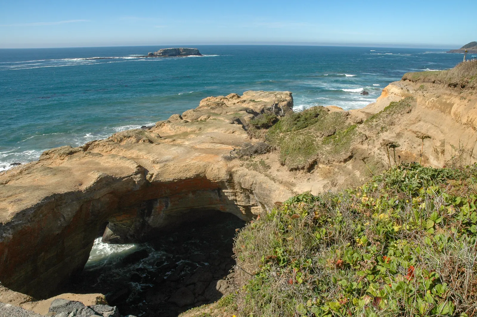
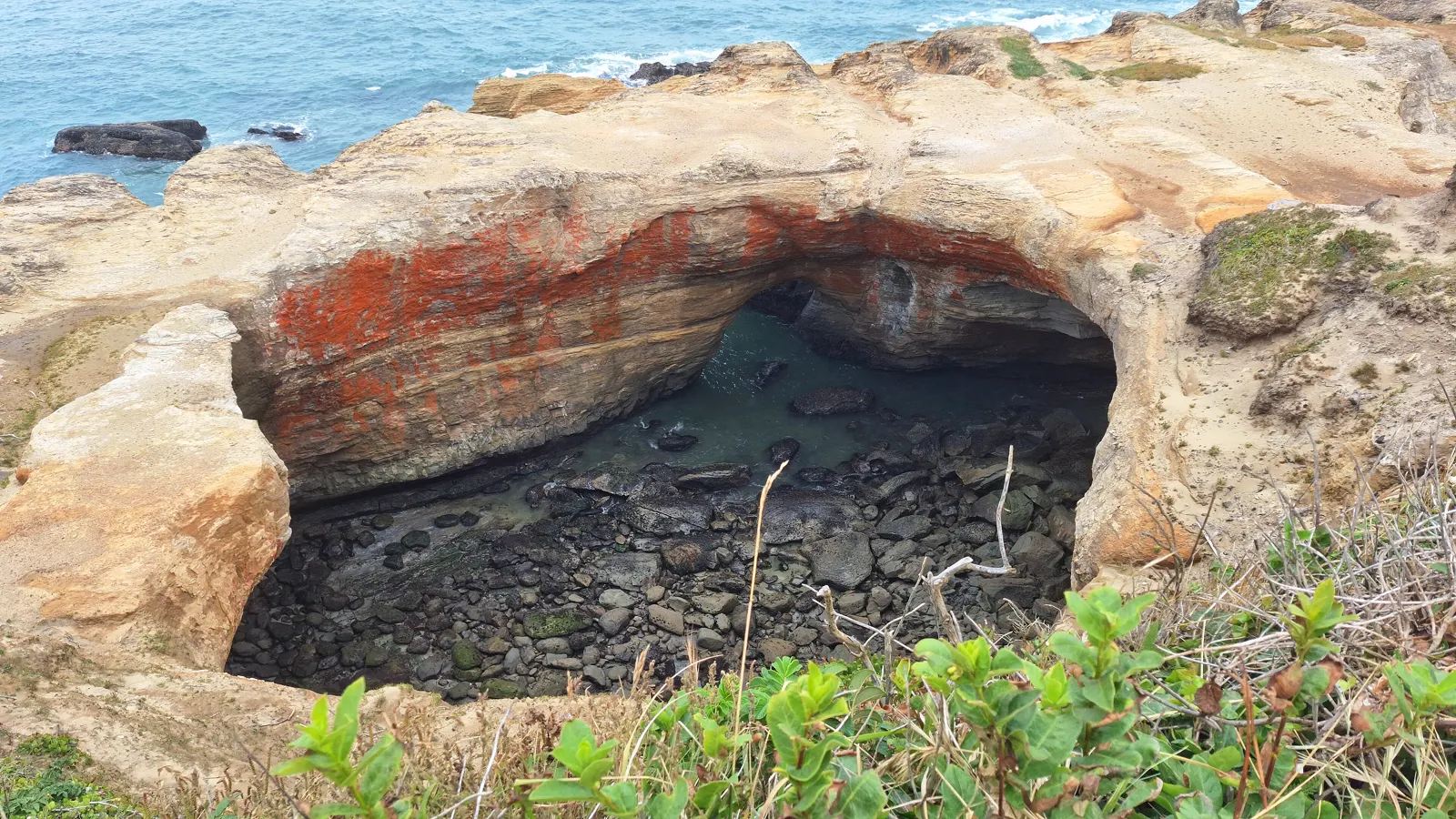
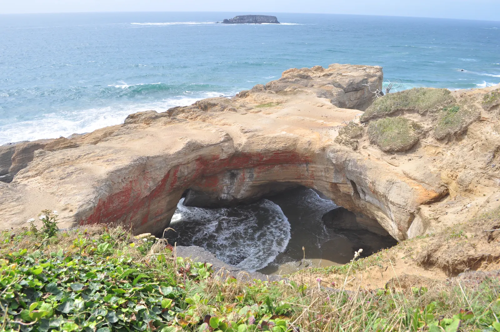
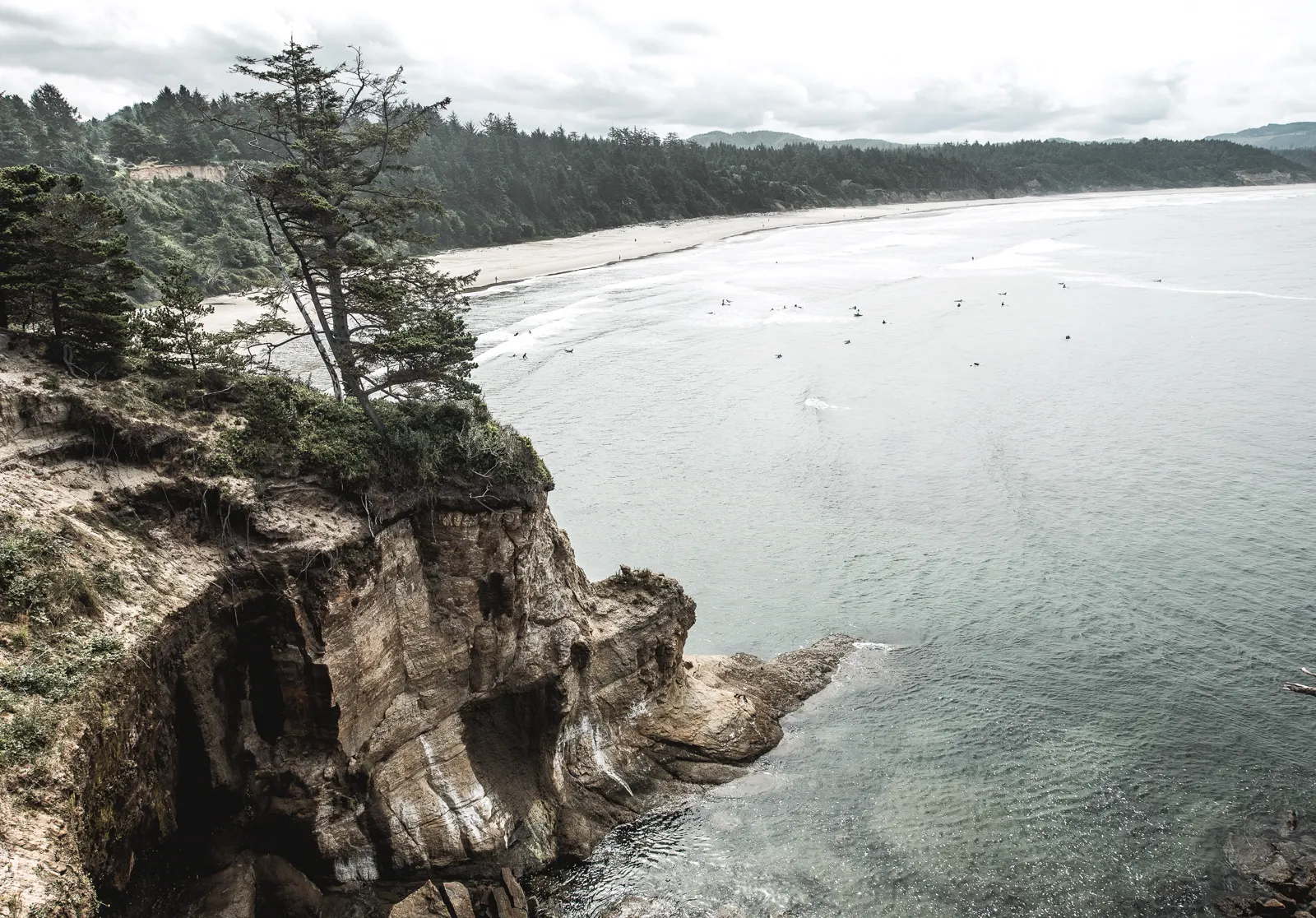
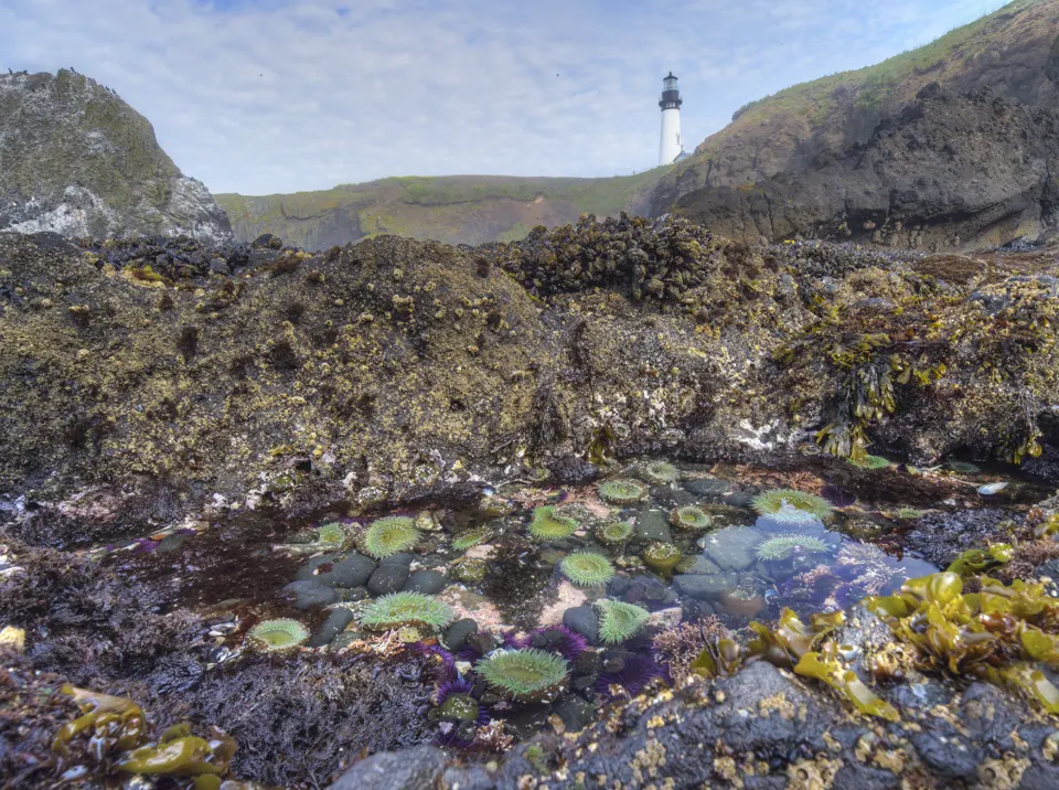
Oregon State Parks says not to forget the tidepools on the north side of the punch bowl, a hollow rock formation the ocean roars into in winter storms.2 The shore here is part of the Otter Rock Marine Garden, from Otter Crest State Scenic Viewpoint south to Gull Rock.3 ODFW says Otter Rock Marine Reserve, with extensive rocky intertidal habitat, can be reached through the Devils Punchbowl State Natural Area.4
In an emergency
Emergency: call 911- Non-emergency Oregon Parks and Recreation Department (park information): 541-265-45602
- Nearest emergency department Samaritan Pacific Communities Hospital (Emergency Department: always open), 930 SW Abbey St, Newport, OR 97365, 541-265-2244 (hospital main line)5
Nearest full-service emergency department by road distance (OpenStreetMap routing, checked 2026-11-18). No drive time is given.
Best times to go
Oregon State Parks: tides of zero feet and lower are best for tidepools, and tides up to two feet can still give good viewing when the ocean is calm. Arrive at least an hour before low tide and start with the pools closest to the ocean.6
Next low tides 0 ft or lower in daylight6
| Date | Low tide | Height |
|---|---|---|
| Sun 22 Nov 2026 | 4:25 PM | −0.63 ft |
| Mon 21 Dec 2026 | 4:06 PM | −0.86 ft |
| Tue 19 Jan 2027 | 3:51 PM | −0.83 ft |
| Wed 20 Jan 2027 | 4:42 PM | −1.54 ft |
| Tue 16 Feb 2027 | 2:34 PM | −0.03 ft |
| Wed 17 Feb 2027 | 3:34 PM | −0.68 ft |
| Thu 18 Feb 2027 | 4:25 PM | −1.20 ft |
| Fri 19 Feb 2027 | 5:10 PM | −1.45 ft |
| Wed 17 Mar 2027 | 3:10 PM | −0.08 ft |
| Thu 18 Mar 2027 | 4:09 PM | −0.40 ft |
| Fri 19 Mar 2027 | 4:59 PM | −0.57 ft |
| Sat 20 Mar 2027 | 5:42 PM | −0.51 ft |
Predictions from NOAA CO-OPS. Not for navigation. Station 9435827, Depoe Bay. Heights in feet relative to MLLW, local time, rounded to 0.01 ft. We choose which lows to show; times and heights are NOAA's. Sunrise and sunset are our calculation for the tide station's position.78
Hours, fees and status
Rules
The Otter Rock Marine Garden protects rocky habitat through public enjoyment and learning; where it overlaps the Otter Rock Marine Reserve, no take is allowed at all.3
- Take nothing in the reserve. The rocky shore at the punch bowl is in Otter Rock Marine Reserve: no take of animals or seaweeds and no fishing gear (ODFW map).1
- No invertebrates. Elsewhere in the Marine Garden, no invertebrates may be taken except single mussels for bait when fishing from shore.3
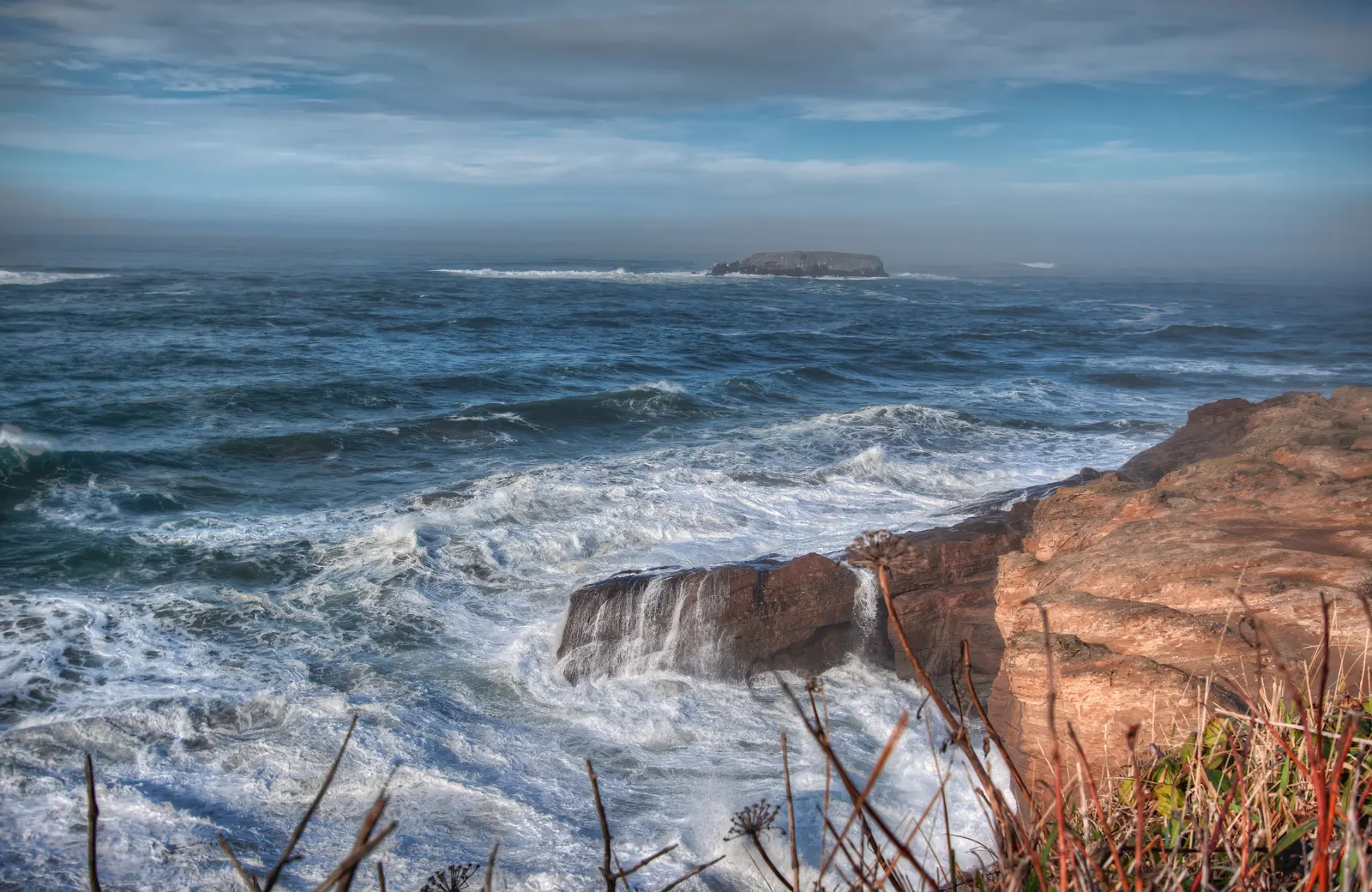
- Stay off the offshore rocks. Access to all offshore rocks is prohibited, as they are important habitat for birds and marine mammals; they are part of the Oregon Islands National Wildlife Refuge.3
- Leave things as you found them. Put back any rock or seaweed you look under, to keep animals from drying out in the air and sun (Oregon State Parks).6
What you'll see
Common species ODFW names for the rocky intertidal of Otter Rock Marine Reserve, which is reached through the Devils Punchbowl State Natural Area.4
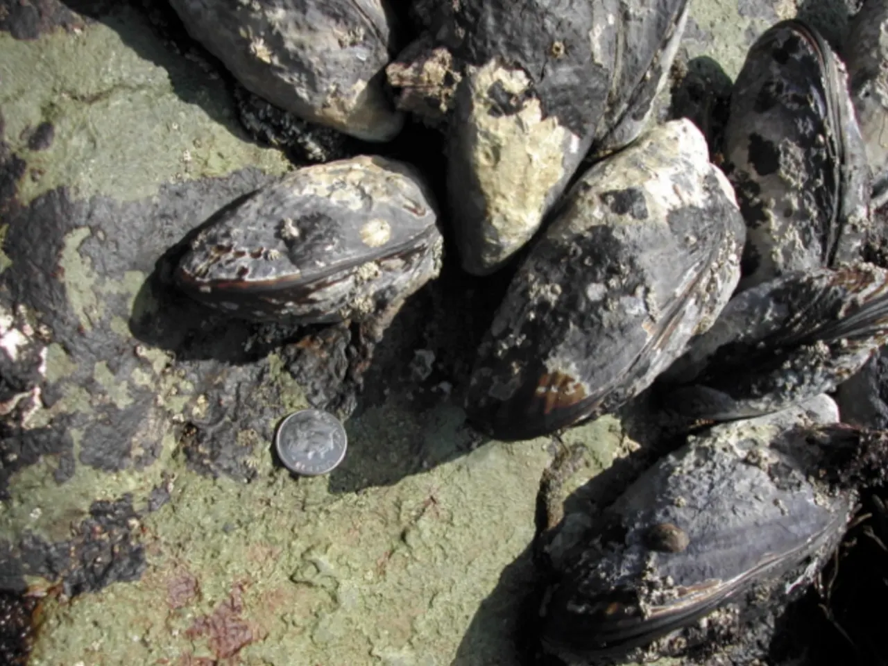
California mussels grow in beds held firmly to the rocks by tough strands. Their shells are tear-shaped and dark blue-black.9 They are commonly 3 to 5 inches long and open at high tide to filter plankton from the water.9
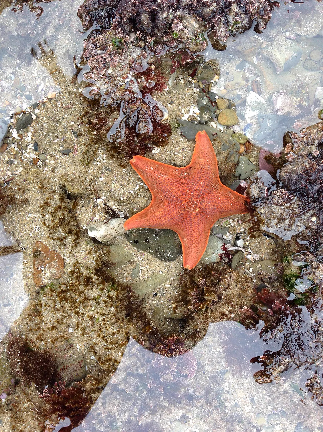
Sea stars are sturdy, flexible predators of the rocky intertidal zone.10 Some species, such as the ochre sea star, play an especially important role in the rocky shore community.11 A wasting disease killed huge numbers of sea stars along the Pacific coast of North America in 2013 and 2014.12
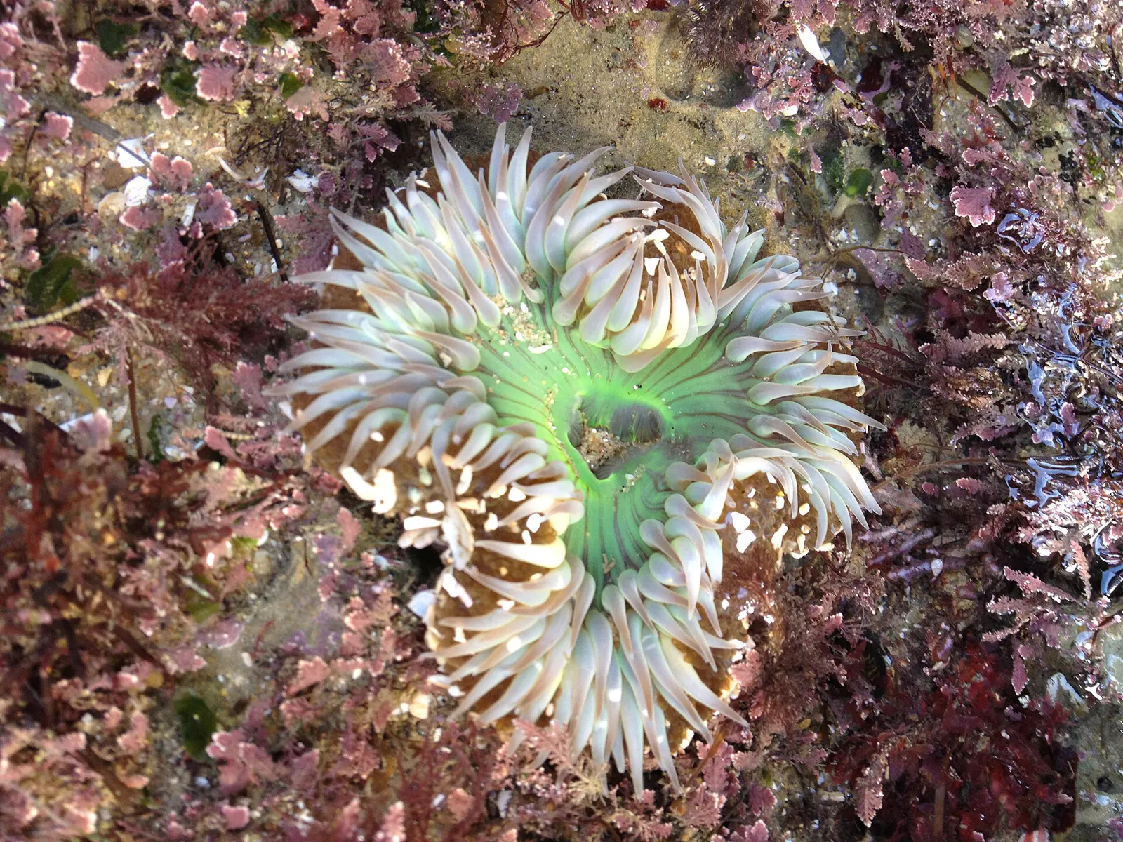
The giant green anemone and the slightly smaller aggregating anemone are both common in tidepools.13 Anemones have no hard shell. Their soft, flexible bodies bend with the moving water.14 They catch prey with stinging cells called nematocysts.9
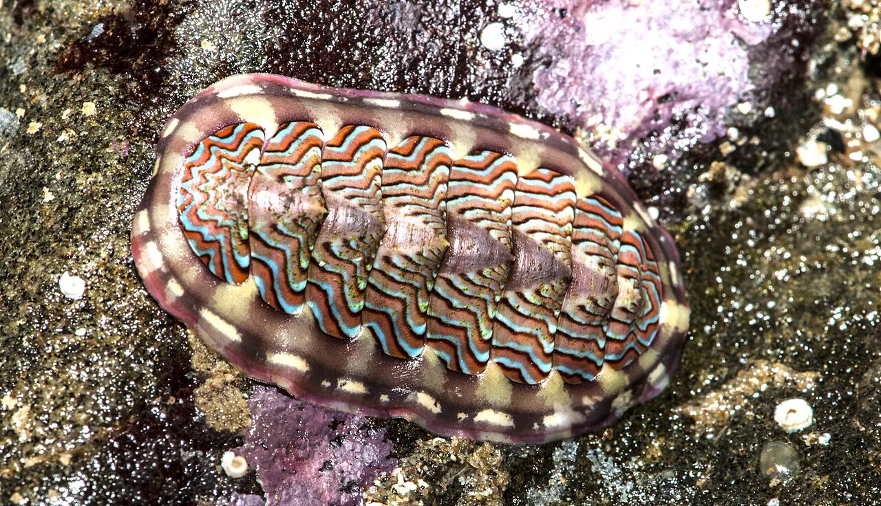
Chitons are oval mollusks with flattened bodies and eight plates along their backs.15 They feed when the tide is high, scraping algae, bacteria and diatoms off the rocks.16
Stay safe
- Keep one eye on the ocean. Make sure an incoming wave doesn't sneak up on you. If a big wave heads your way, lie flat on the rocks and hold on tight (Oregon State Parks).6
- Slippery rocks. Travel slowly and carefully: rocks and marine algae can be slippery.6
- Cold and wet. Expect to get wet. Evening temperatures can drop quickly on the coast, so dry off soon to avoid hypothermia.6
Read more: ocean safety · shore safety · weather · first aid
Getting there
- Parking is limited and allowed only in the parking stalls; please respect the private property around the park.2
Devils Punchbowl State Natural Area
Directions to Devils Punchbowl State Natural Area, using the map point Oregon State Parks gives for the park.2 Loads Google Maps when you tap.
Photos of this spot
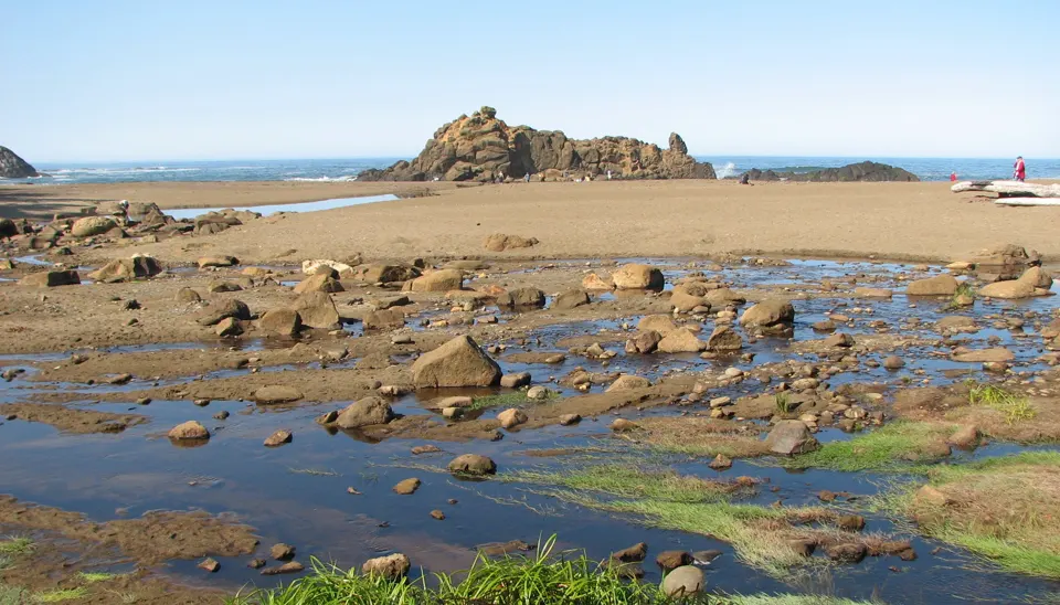
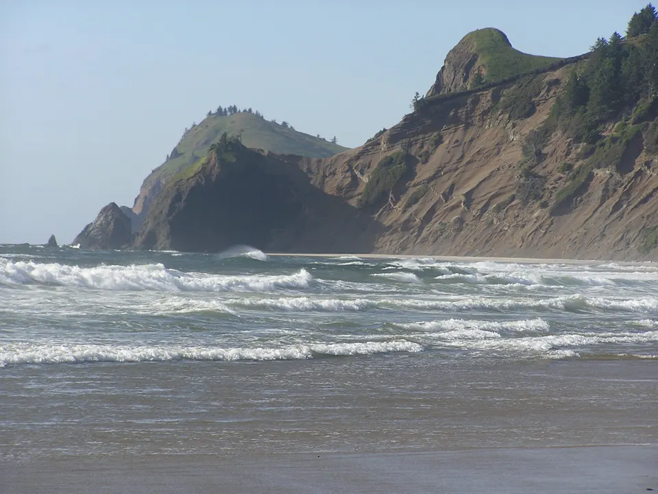
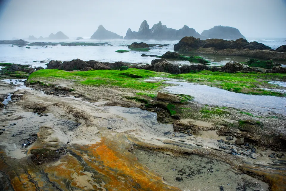
Nearby tide pools
Page history
- : Devils Punchbowl (Otter Rock): rules updated
- : Devils Punchbowl (Otter Rock): animal list added
- : Devils Punchbowl (Otter Rock): summary updated
- : Devils Punchbowl (Otter Rock) added
Sources
- Oregon Department of Fish and Wildlife: Otter Rock Marine Reserve: shoreside map (opens in a new tab) · accessed 18 November 2026
- Oregon Parks and Recreation Department: Devils Punchbowl State Natural Area (opens in a new tab) · accessed 18 November 2026
- Oregon Department of Land Conservation and Development (Oregon Ocean Information): Otter Rock Marine Garden (opens in a new tab) · accessed 18 November 2026
- Oregon Department of Fish and Wildlife (Oregon Marine Reserves): Otter Rock Marine Reserve (opens in a new tab) · accessed 18 November 2026
- Samaritan Health Services: Samaritan Pacific Communities Hospital (opens in a new tab) · accessed 18 November 2026
- Oregon Parks and Recreation Department: Oregon's Rocky Intertidal Areas (brochure 63400-8136, 5/2018) (opens in a new tab) · accessed 18 November 2026
- NOAA CO-OPS: Tide predictions (high/low), station 9435827 Depoe Bay; MLLW, feet, local time (opens in a new tab) · accessed 18 November 2026
- NOAA CO-OPS: Metadata API: station names and positions (9410166, 9410230, 9410580) (opens in a new tab) · accessed 17 November 2026
- National Park Service, Cabrillo National Monument: Intertidal Field Guide (opens in a new tab) · page updated 25 June 2021 · accessed 17 November 2026
- National Park Service, Point Reyes National Seashore: Echinoderms (opens in a new tab) · page updated 19 September 2022 · accessed 17 November 2026
- National Park Service, Redwood National and State Parks: Sea Stars (opens in a new tab) · page updated 7 December 2020 · accessed 17 November 2026
- MARINe (Multi-Agency Rocky Intertidal Network), UC Santa Cruz: Sea Star Wasting Disease (opens in a new tab) · page updated 6 October 2026 · accessed 17 November 2026
- National Park Service, Channel Islands National Park: Anemone (opens in a new tab) · page updated 21 May 2021 · accessed 17 November 2026
- National Park Service, Klamath Inventory and Monitoring Network: On the Edge: The Curious Lives of Intertidal Organisms and How We Monitor Them (opens in a new tab) · page updated 28 November 2022 · accessed 17 November 2026
- National Park Service, Glacier Bay National Park & Preserve: Snails, Limpets & Chitons (opens in a new tab) · page updated 16 March 2018 · accessed 17 November 2026
- National Park Service, Channel Islands National Park: Chiton (opens in a new tab) · page updated 21 May 2021 · accessed 17 November 2026
Checked against the sources above on 18 November 2026. Hours, fees and rules can change without notice, so check with the Oregon Parks and Recreation Department (Devils Punchbowl State Natural Area) before you go. Not affiliated with or endorsed by the Oregon Parks and Recreation Department (Devils Punchbowl State Natural Area) or NOAA.
Report a change
Visited recently and something's different? Reports go to review first. They don't change the page until we check them against the official source.
Send a report How reports work