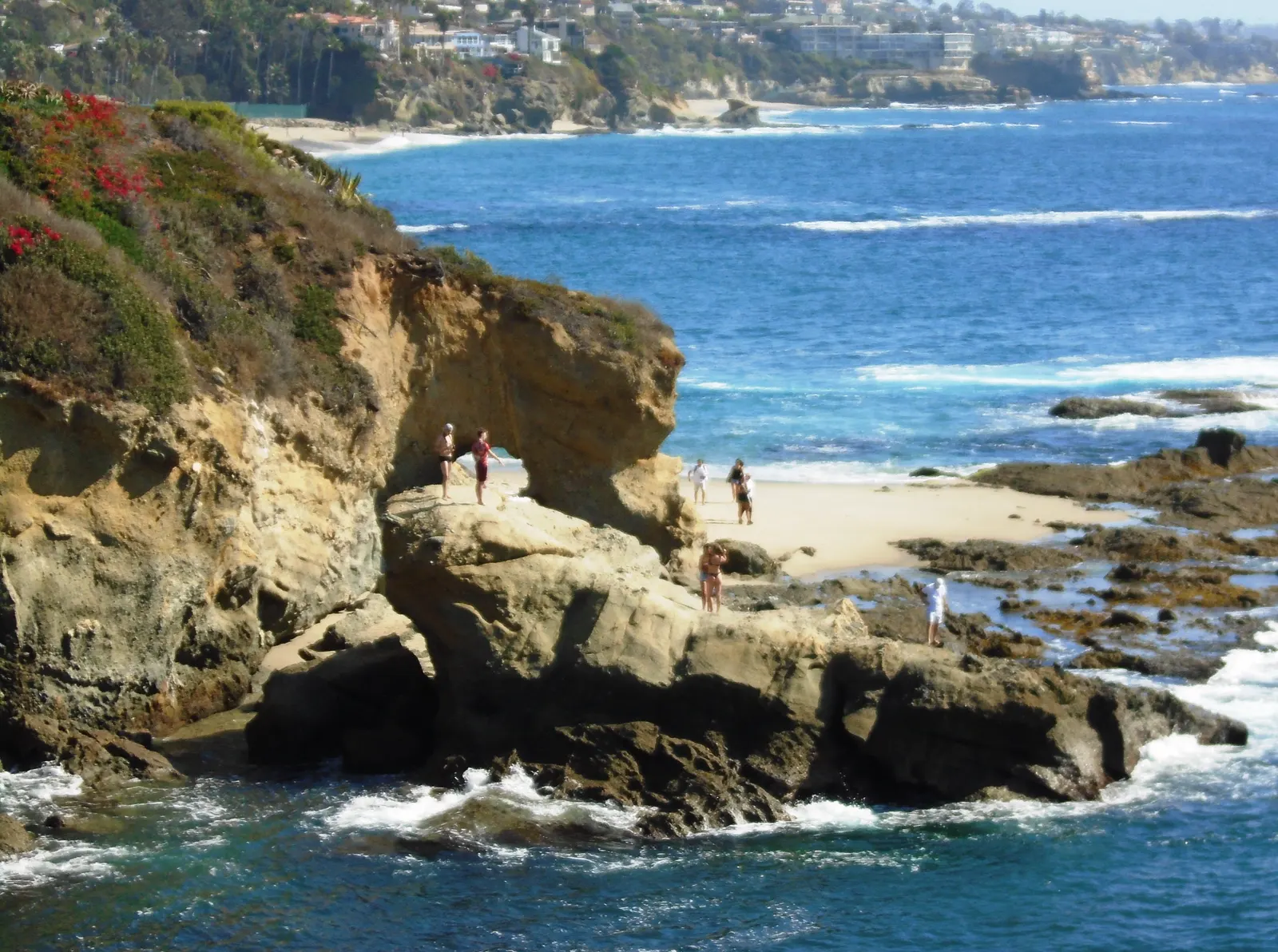
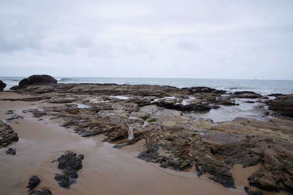
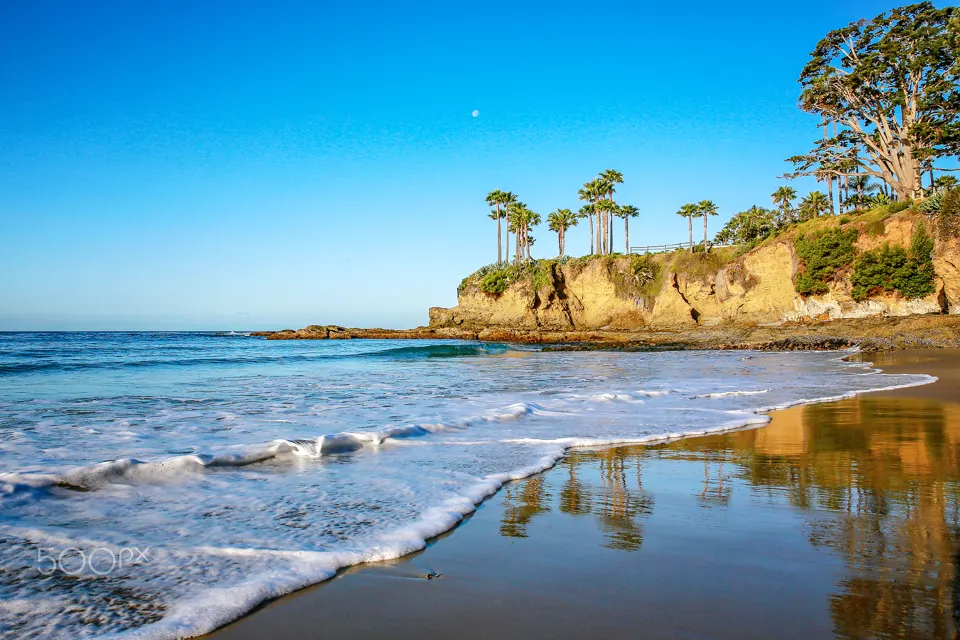
The City of Laguna Beach names Treasure Island as one of the town's popular places to enjoy tidepools, and lists tide pooling among the beach's popular activities.3,4 Its rocky shore is a long-term MARINe monitoring site: a gently sloping bedrock bench separated by large pools and channels, where docent educators are frequently on site.1
In an emergency
Emergency: call 911- Non-emergency City of Laguna Beach Marine Safety: (949) 497-03104
- Nearest emergency department Providence Mission Hospital Laguna Beach (emergency department), 31872 Coast Highway, Laguna Beach, CA 926515,6
Nearest full-service emergency department by road distance (OpenStreetMap routing, checked 2026-11-18). No drive time is given. Address and emergency status from the state's hospital licensing record (HCAI: licensed basic emergency service). Orange County EMS lists it as an emergency receiving center (Policy 230.00, effective 1 January 2026). The state record gives no phone number, so none is shown.
Best times to go
At low tide the water recedes to reveal tidepools with Kellet's whelks, top snails, limpets, anemones and small fishes (CDFW, on the Laguna Beach reserves).2
Tide heights are measured from MLLW, the average of each day's lower low water, so a low below 0.0 ft uncovers more than an average day's low.7
Next low tides below 0.0 ft in daylight7
| Date | Low tide | Height |
|---|---|---|
| Sun 22 Nov 2026 | 1:40 PM | −0.53 ft |
| Mon 23 Nov 2026 | 2:23 PM | −1.06 ft |
| Tue 24 Nov 2026 | 3:09 PM | −1.39 ft |
| Wed 25 Nov 2026 | 3:57 PM | −1.48 ft |
| Sat 5 Dec 2026 | 1:32 PM | −0.23 ft |
| Sun 6 Dec 2026 | 2:09 PM | −0.53 ft |
| Mon 7 Dec 2026 | 2:43 PM | −0.68 ft |
| Tue 8 Dec 2026 | 3:16 PM | −0.71 ft |
| Wed 9 Dec 2026 | 3:49 PM | −0.66 ft |
| Thu 10 Dec 2026 | 4:24 PM | −0.54 ft |
| Sun 20 Dec 2026 | 12:51 PM | −0.23 ft |
| Mon 21 Dec 2026 | 1:35 PM | −0.94 ft |
Predictions from NOAA CO-OPS. Not for navigation. Station 9410580, Newport Beach, Newport Bay Entrance. Heights in feet relative to MLLW, local time, rounded to 0.01 ft. We choose which lows to show; times and heights are NOAA's. Sunrise and sunset are our calculation for the tide station's position.89
Rules
Treasure Island is inside Laguna Beach State Marine Conservation Area (No-Take), according to MARINe's site record.1
- Take nothing. CDFW says recreational and commercial fishing, and any take of marine resources, are not allowed in either Laguna Beach MPA.2
- No fishing here. The City says taking or collecting rocks, shells or marine life is prohibited, and fishing is not allowed at this beach.4
- No collecting at all. The City's Good Tide Pooler Rules: never remove animals, shells or rocks from the tide pools.3
- Look, don't touch. Never pick up or touch animals; observe them where they are.3
- Walk gently. Take care not to step on plants or animals, and never turn over rocks.3
- Groups need a form. K-12 school groups bringing students for a tidepool field trip must submit an Educator Use Form to the City's Marine Safety Department.3
What you'll see
Animals the MARINe rocky intertidal survey monitors at Treasure Island since 1996, and CDFW's list for the tidepools of the Laguna Beach reserves.1,2
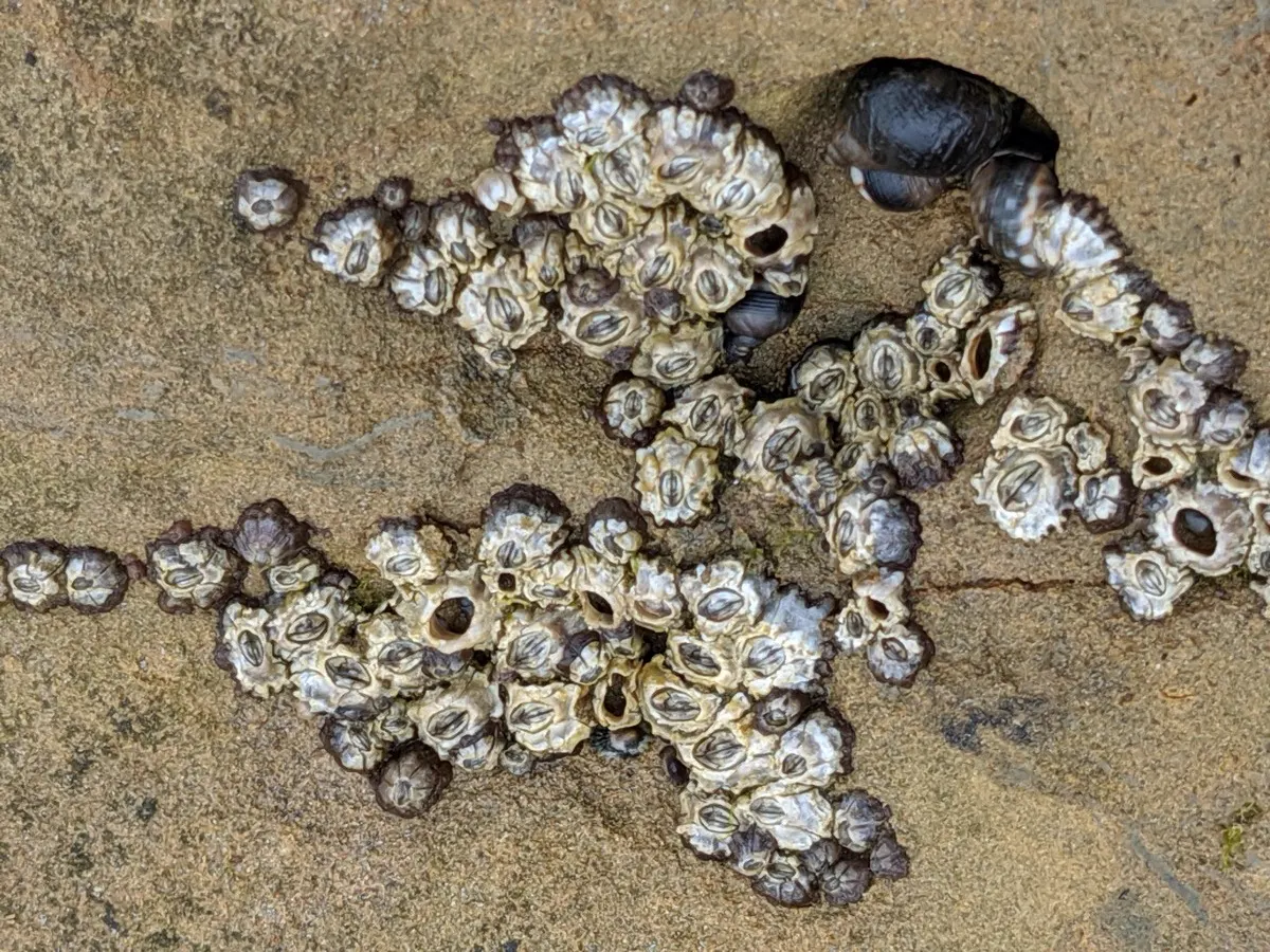
Barnacles are relatives of crabs and shrimp that cluster on surfaces at every level of the intertidal zone.10 They attach head-first and use their feathery legs to take in oxygen and net food floating past.10
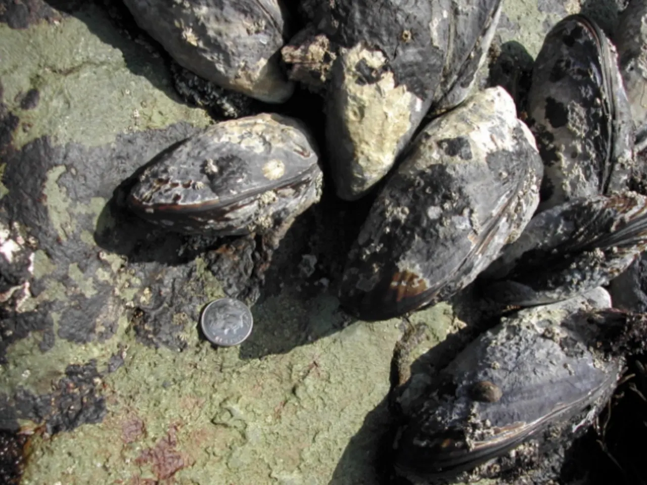
California mussels grow in beds held firmly to the rocks by tough strands. Their shells are tear-shaped and dark blue-black.11 They are commonly 3 to 5 inches long and open at high tide to filter plankton from the water.11
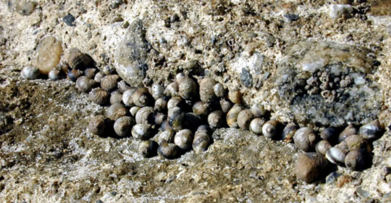
Kellet's whelks and top snails
Snails are abundant in the intertidal zone. Common kinds include black and brown turban snails and periwinkles.12 Most graze on algae, scraping it off the rock with a rough, tongue-like radula.12
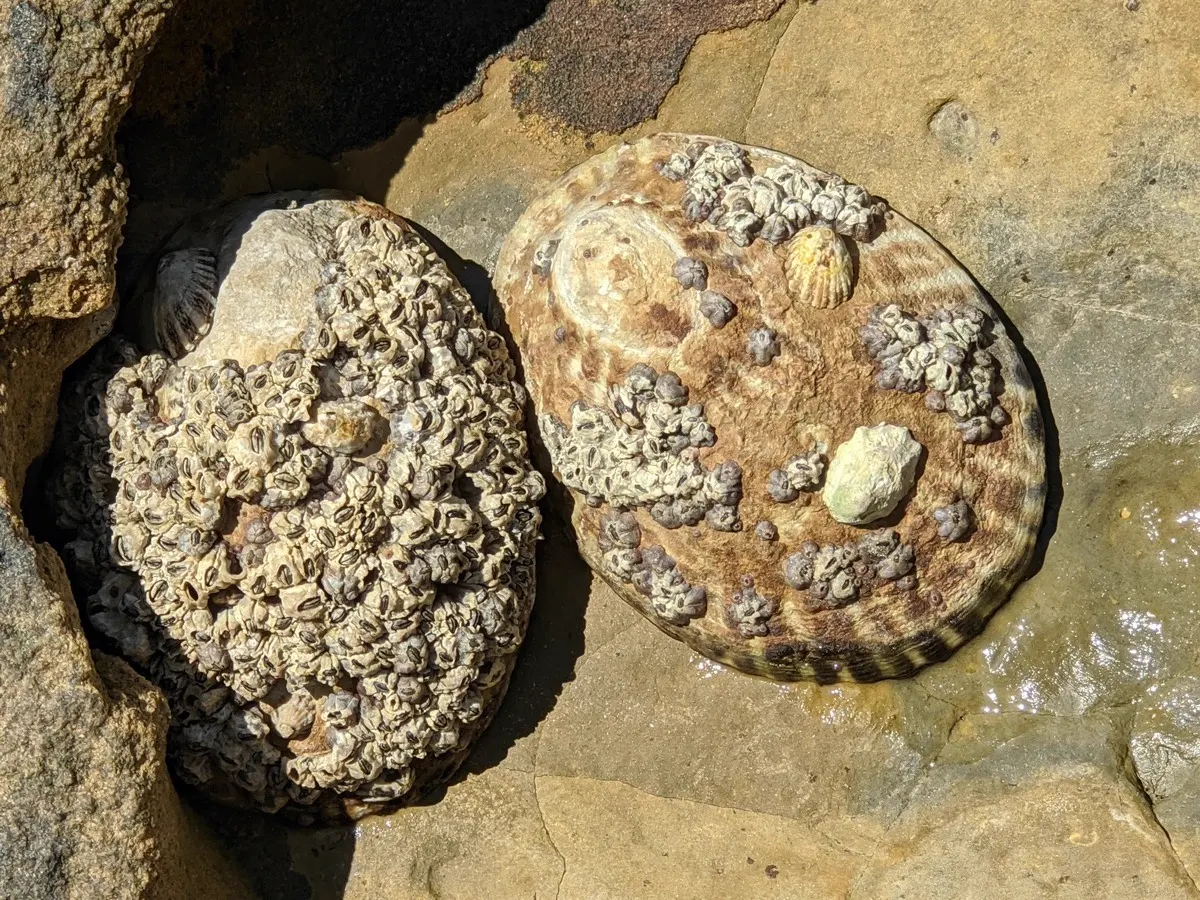
Limpets have small, cone-shaped shells and live on rocks throughout the intertidal zone. Their shells are not coiled, but they are closely related to snails.13 The owl limpet is the largest true limpet on the Pacific coast, growing up to 4 inches.11
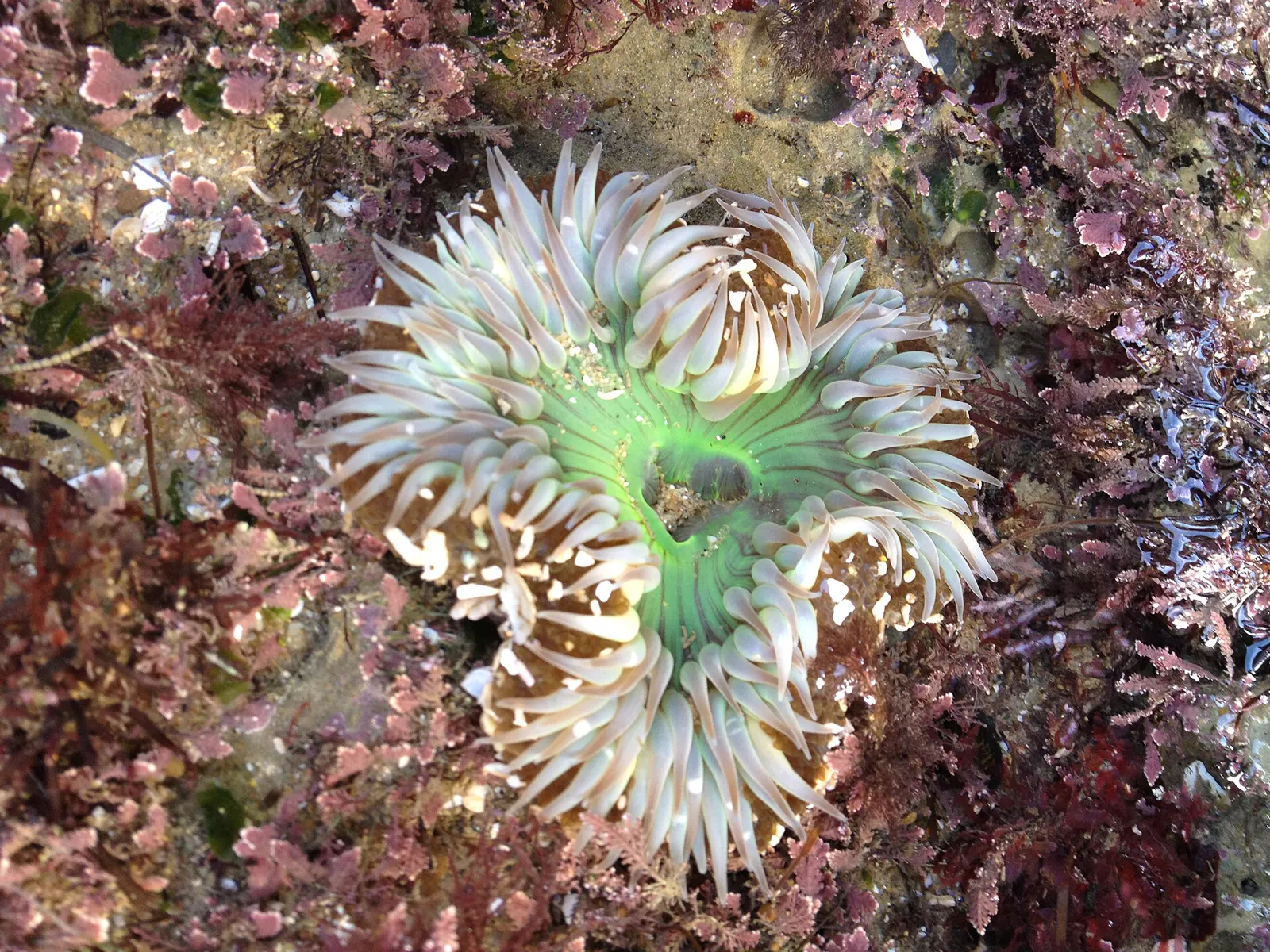
The giant green anemone and the slightly smaller aggregating anemone are both common in tidepools.14 Anemones have no hard shell. Their soft, flexible bodies bend with the moving water.15 They catch prey with stinging cells called nematocysts.11
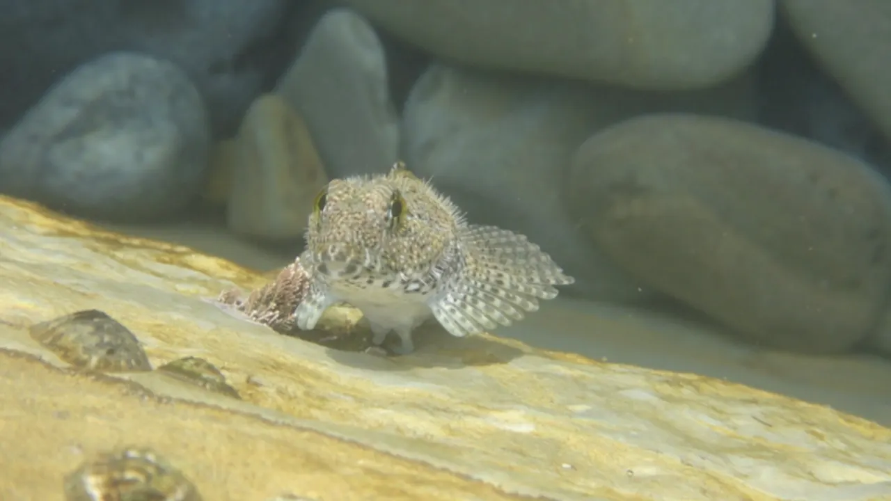
When the tide goes out, small fish are among the animals left behind in isolated tidepools.16 Many fish feed in the intertidal zone at high tide, but most leave as the tide ebbs.17 A few kinds stay behind, hiding in tidepools under rocks or in mussel beds.17
Also seen from here
CDFW says sea lions, harbor seals and migrating whales can often be seen along the Laguna Beach reserves' coast.1,2
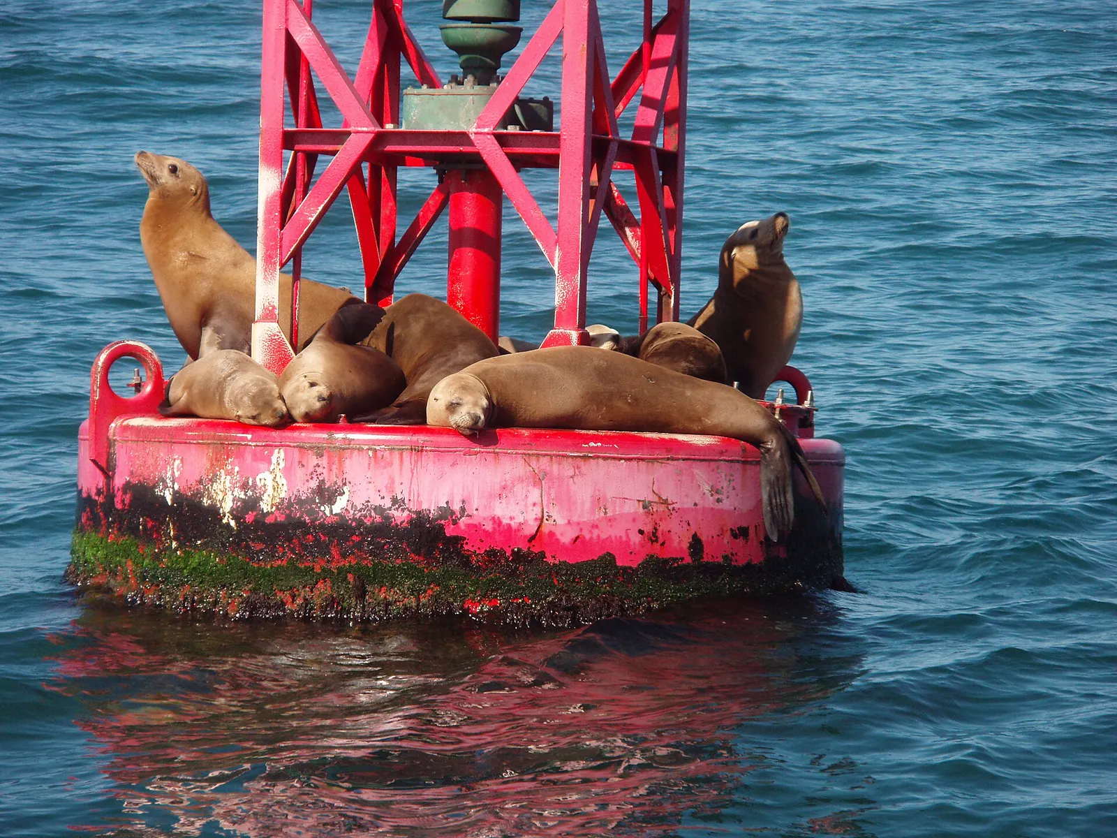
The California sea lion is an "eared seal" native to the West Coast of North America.18 They rest on beaches, docks, buoys and jetties, and are loud, with a call like a barking dog.18 Like all marine mammals, they are protected by federal law.18
Stay safe
- Strong shorebreak and rips. The City warns of very strong shorebreak surf; the surf can become large, with numerous rip currents at the north end along the rocks and at the southern end.4
- Steep sand. The beach can become steep at times, depending on the sand. Marine Safety: (949) 497-0310.4
Read more: ocean safety · shore safety · first aid
Getting there
- The City says the beach is best reached by the ramp at the southwest corner of the Montage Resort, just north of Aliso Creek Beach.4
- It can get crowded on weekends and hot summer days.4
Montage Laguna Beach, Laguna Beach, CA
Directions to the Montage Resort. The City says the beach is best reached by the ramp at the resort's southwest corner.4 Loads Google Maps when you tap.
Photos of this spot
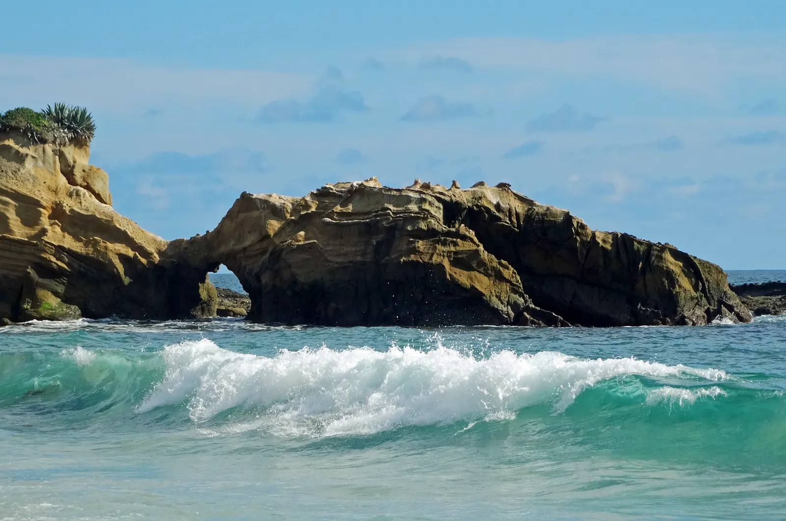
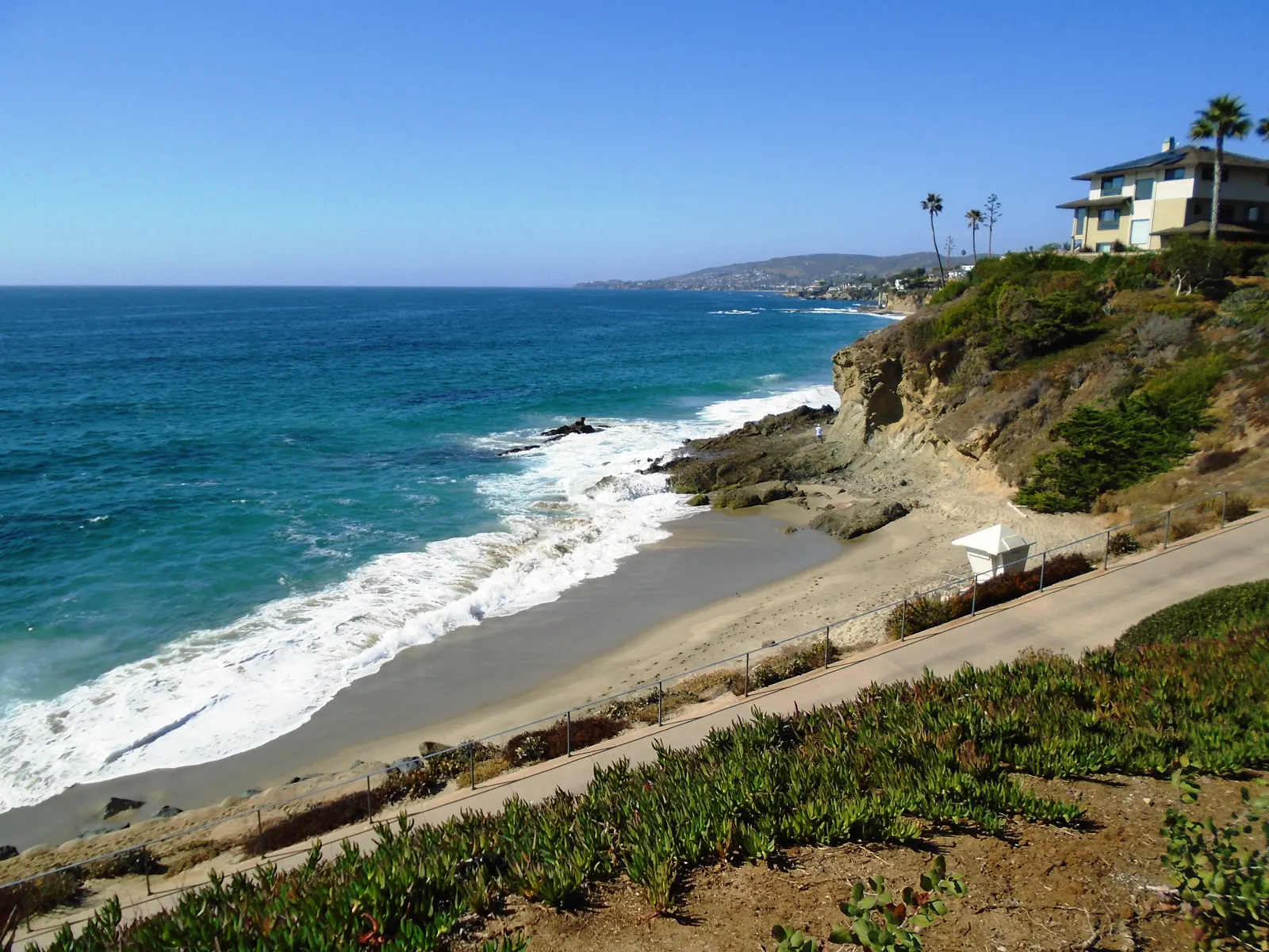
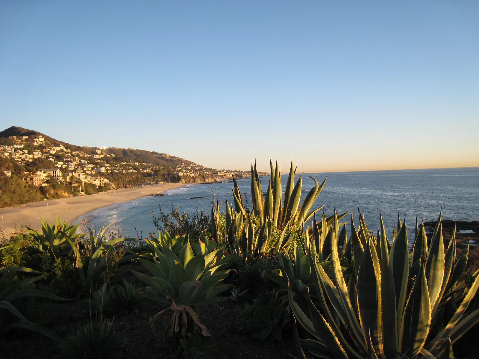
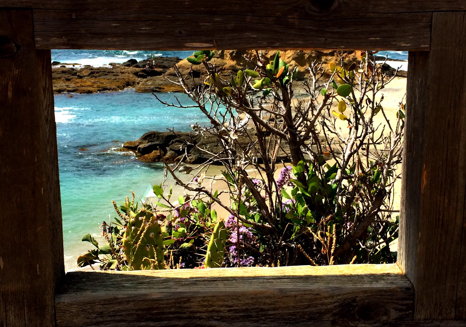
Nearby tide pools
Page history
- : Treasure Island: nearest emergency department added (Providence Mission Hospital Laguna Beach)
- : Treasure Island: emergency contacts added
- : Treasure Island added
Sources
- MARINe (Multi-Agency Rocky Intertidal Network): Treasure Island: study site page (opens in a new tab) · accessed 18 November 2026
- California Department of Fish and Wildlife: Laguna Beach State Marine Reserve/State Marine Conservation Area (No-Take) (opens in a new tab) · accessed 18 November 2026
- City of Laguna Beach, Marine Safety Department: Tide Pools, Research and Education (opens in a new tab) · accessed 18 November 2026
- City of Laguna Beach, Marine Safety Department: Treasure Island Beach (Visiting Our Beaches) (opens in a new tab) · accessed 18 November 2026
- California Department of Health Care Access and Information (HCAI): Licensed Healthcare Facility Listing: PROVIDENCE MISSION HOSPITAL - LAGUNA BEACH (OSHPD ID 106301337) (opens in a new tab) · accessed 18 November 2026
- County of Orange Health Care Agency (Orange County EMS): OCEMS Policy #230.00: List of Emergency Receiving Centers (effective 1 January 2026) (opens in a new tab) · accessed 18 November 2026
- NOAA CO-OPS: Tidal Datums (MLLW: average of the lower low water height of each tidal day; the reference datum for predictions) (opens in a new tab) · accessed 17 November 2026
- NOAA CO-OPS: Tide predictions (high/low), station 9410580 Newport Beach, Newport Bay Entrance; MLLW, feet, local time (opens in a new tab) · accessed 18 November 2026
- NOAA CO-OPS: Metadata API: station names and positions (9410166, 9410230, 9410580) (opens in a new tab) · accessed 17 November 2026
- National Park Service, Channel Islands National Park: Barnacles (opens in a new tab) · page updated 21 May 2021 · accessed 17 November 2026
- National Park Service, Cabrillo National Monument: Intertidal Field Guide (opens in a new tab) · page updated 25 June 2021 · accessed 17 November 2026
- National Park Service, Channel Islands National Park: Snails (opens in a new tab) · page updated 21 May 2021 · accessed 17 November 2026
- National Park Service, Glacier Bay National Park & Preserve: Snails, Limpets & Chitons (opens in a new tab) · page updated 16 March 2018 · accessed 17 November 2026
- National Park Service, Channel Islands National Park: Anemone (opens in a new tab) · page updated 21 May 2021 · accessed 17 November 2026
- National Park Service, Klamath Inventory and Monitoring Network: On the Edge: The Curious Lives of Intertidal Organisms and How We Monitor Them (opens in a new tab) · page updated 28 November 2022 · accessed 17 November 2026
- National Park Service: Cabrillo National Monument: The Rocky Intertidal Zone (opens in a new tab) · page updated 31 October 2026 · accessed 17 November 2026
- National Park Service, Glacier Bay National Park & Preserve: Fish in the Intertidal Zone (opens in a new tab) · page updated 16 March 2018 · accessed 17 November 2026
- NOAA Fisheries: California Sea Lion (opens in a new tab) · page updated 7 April 2025 · accessed 17 November 2026
Checked against the sources above on 18 November 2026. Hours, fees and rules can change without notice, so check with the City of Laguna Beach, Marine Safety Department before you go. Not affiliated with or endorsed by the City of Laguna Beach, Marine Safety Department or NOAA.
Report a change
Visited recently and something's different? Reports go to review first. They don't change the page until we check them against the official source.
Send a report How reports work