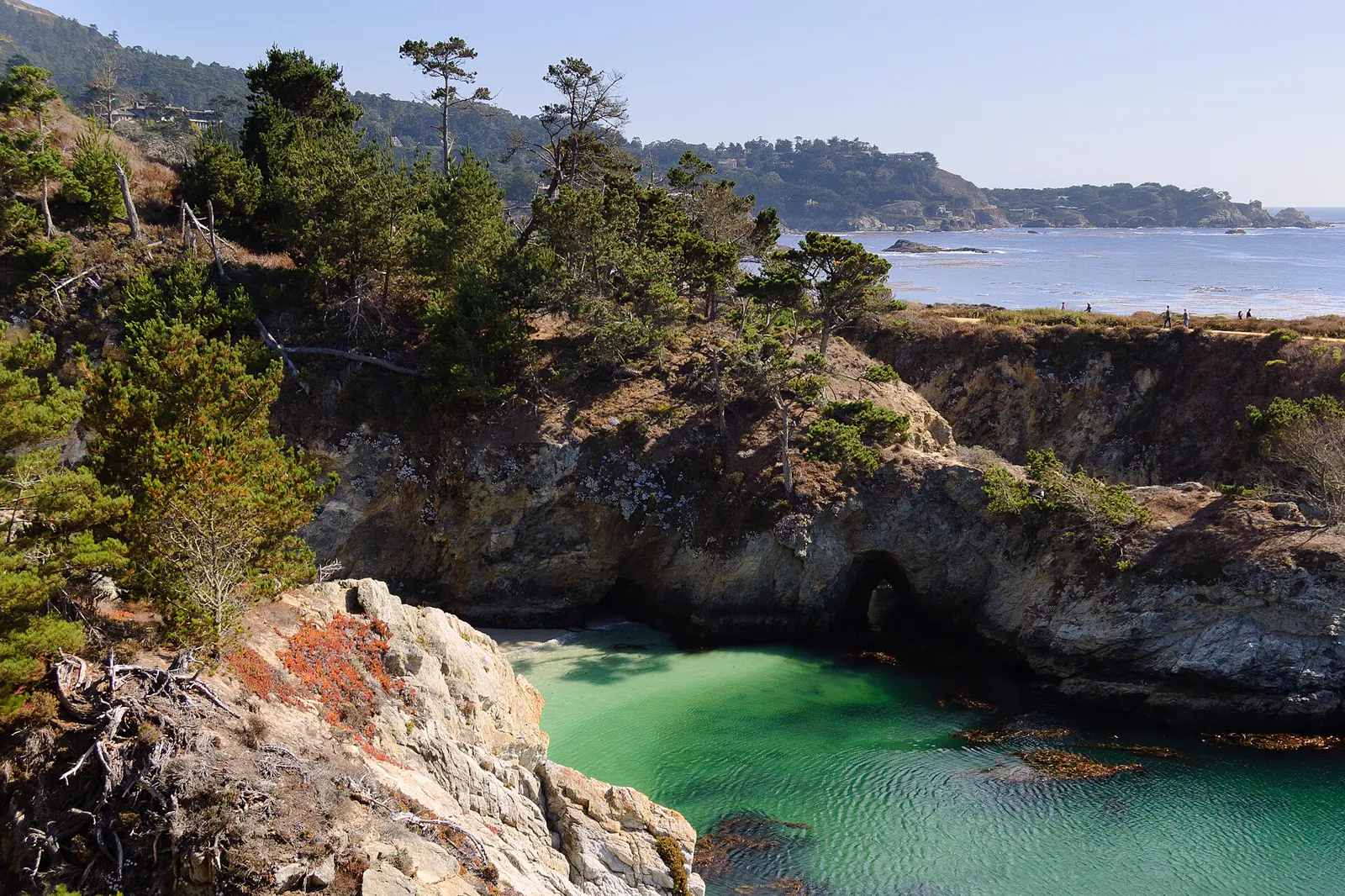
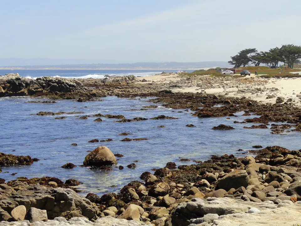
At Point Lobos, CDFW says the marine reserve's beaches and rocky intertidal areas are within easy reach, and darting gobies and sculpins can be found in tidepools lined with mussels and barnacles.3 California State Parks calls Point Lobos State Natural Reserve "the crown jewel of the California State Park System". Its offshore area, part of the Monterey Bay National Marine Sanctuary, is one of the richest underwater habitats in the world.2
In an emergency
Emergency: call 911- Non-emergency California State Parks (Point Lobos State Natural Reserve): (831) 624-49092
- Nearest emergency department Community Hospital of the Monterey Peninsula (emergency department), 23625 W. R. Holman Highway, Monterey, CA 93940, (831) 624-5311 (hospital main line)4,5
Nearest full-service emergency department by road distance (OpenStreetMap routing, checked 2026-11-20). No drive time is given. Address and emergency status from the state's hospital licensing record (HCAI: licensed basic emergency service). Phone from the federal CMS hospital record.
Best times to go
Tide heights are measured from MLLW, the average of each day's lower low water, so a low below 0.0 ft uncovers more than an average day's low.6
Next low tides below 0.0 ft in daylight6
| Date | Low tide | Height |
|---|---|---|
| Sun 22 Nov 2026 | 2:56 PM | −0.39 ft |
| Mon 23 Nov 2026 | 3:41 PM | −0.95 ft |
| Tue 24 Nov 2026 | 4:28 PM | −1.34 ft |
| Sat 5 Dec 2026 | 2:42 PM | −0.14 ft |
| Sun 6 Dec 2026 | 3:22 PM | −0.43 ft |
| Mon 7 Dec 2026 | 3:59 PM | −0.59 ft |
| Tue 8 Dec 2026 | 4:36 PM | −0.66 ft |
| Sun 20 Dec 2026 | 1:58 PM | −0.21 ft |
| Mon 21 Dec 2026 | 2:45 PM | −0.88 ft |
| Tue 22 Dec 2026 | 3:31 PM | −1.41 ft |
| Wed 23 Dec 2026 | 4:19 PM | −1.73 ft |
| Sun 3 Jan 2027 | 2:30 PM | −0.26 ft |
Predictions from NOAA CO-OPS. Not for navigation. Station 9413450, Monterey. Heights in feet relative to MLLW, local time, rounded to 0.01 ft. We choose which lows to show; times and heights are NOAA's. Sunrise and sunset are our calculation for the tide station's position.78
Hours, fees and status
- Day-use hours
- 8 a.m. to 5 p.m.; last entry 4:30 p.m.2
- Vehicle day use
- $10 (special rates may apply at peak times)2
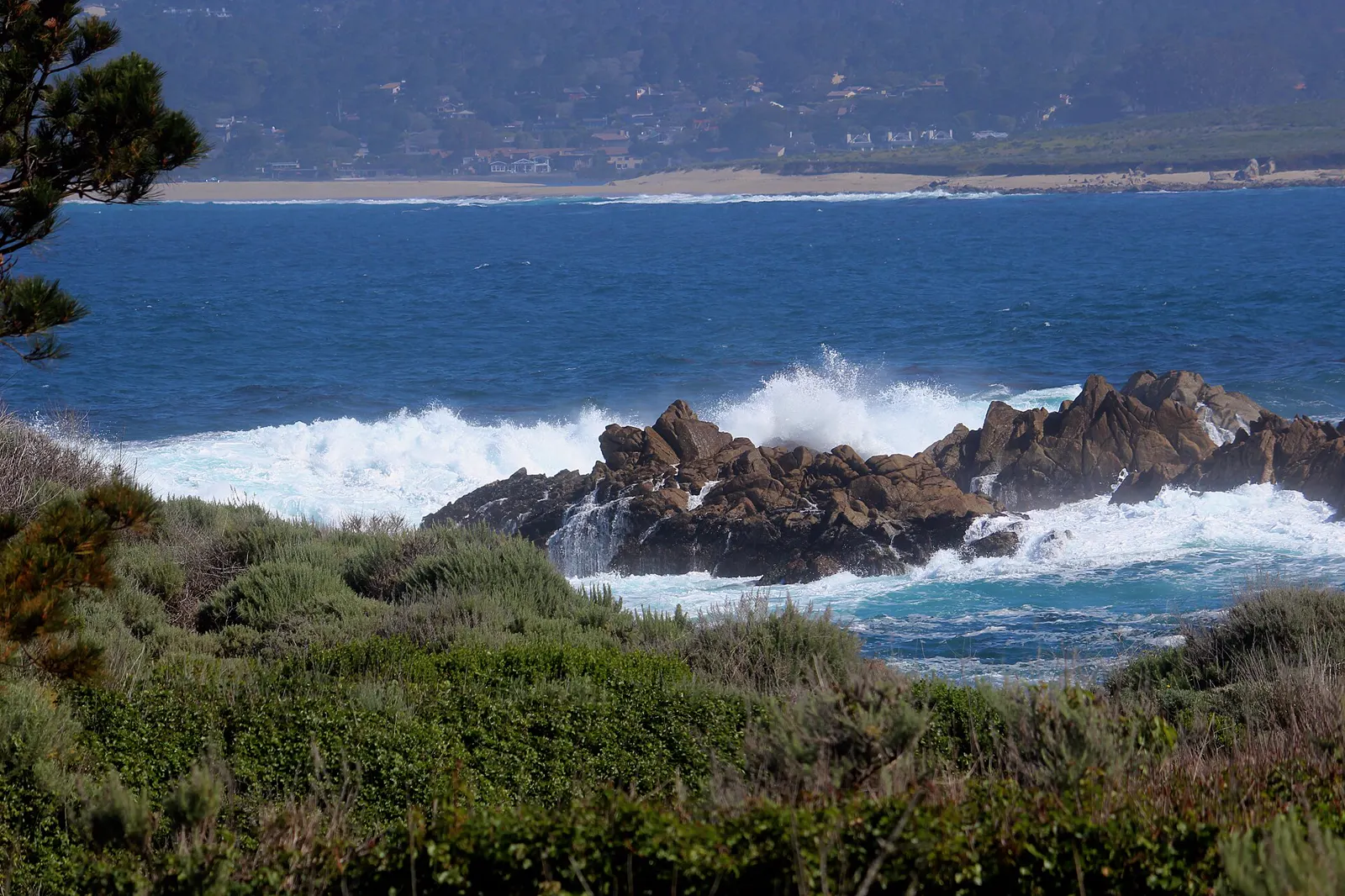
Closed on 20 November 2026 because of high winds, storm activity and hazardous beach conditions, with flooding and downed trees. State Parks asks the public to stay off the beaches and away from rocks and tidal zones. Check the park page or call before you go.2
Rules
The reserve's rules are for your own safety and to protect the plants and animals that live there (California State Parks).2
- No collecting. Shells, rocks, wood, plants, animals and all features of the reserve are protected by law.2
- Marine reserve. In the Point Lobos State Marine Reserve, there's no fishing: all take of living marine resources is prohibited.1
- No dogs. Dogs are not allowed anywhere in the reserve and can't be left inside parked vehicles.2
- Day use only. The reserve is day use only, and all visitors must leave by closing time. Smoking and fires of all kinds, alcohol and drones are prohibited.2
- Vehicle length. Vehicles over 21 feet long (including motorhomes and live-in vans) can't drive or park in the reserve.2
Good practice
Tide pool advice from other agencies, credited to each. These aren't rules for this spot.
- Leave them be. Step carefully, look closely, be gentle, and leave the animals, algae, rocks and shells where you find them (Monterey Bay National Marine Sanctuary).9
What you'll see
Animals CDFW names in the sandy beaches, coves, rocky intertidal zones and tidepools of the Point Lobos marine reserve.3
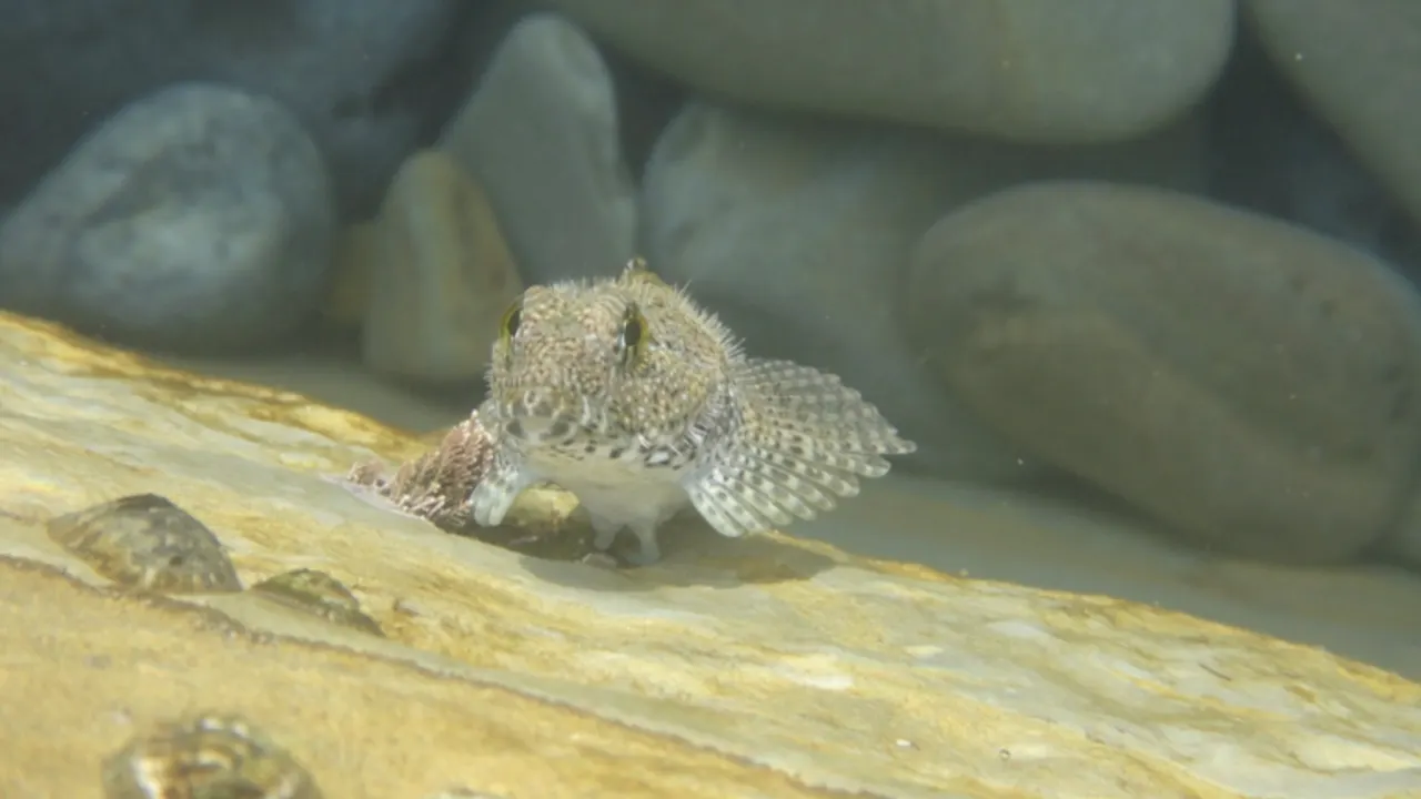
When the tide goes out, small fish are among the animals left behind in isolated tidepools.10 Many fish feed in the intertidal zone at high tide, but most leave as the tide ebbs.11 A few kinds stay behind, hiding in tidepools under rocks or in mussel beds.11
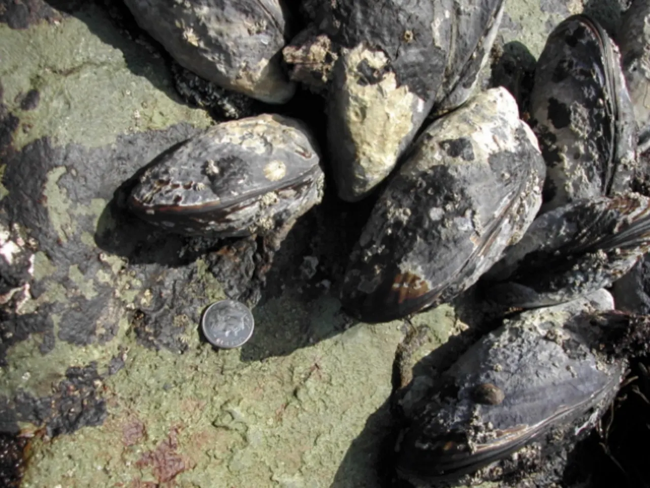
California mussels grow in beds held firmly to the rocks by tough strands. Their shells are tear-shaped and dark blue-black.12 They are commonly 3 to 5 inches long and open at high tide to filter plankton from the water.12
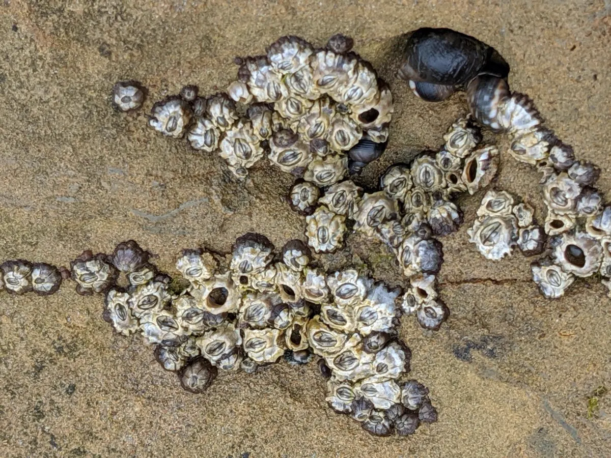
Barnacles are relatives of crabs and shrimp that cluster on surfaces at every level of the intertidal zone.13 They attach head-first and use their feathery legs to take in oxygen and net food floating past.13
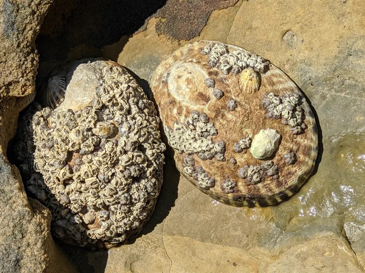
Limpets have small, cone-shaped shells and live on rocks throughout the intertidal zone. Their shells are not coiled, but they are closely related to snails.14 The owl limpet is the largest true limpet on the Pacific coast, growing up to 4 inches.12
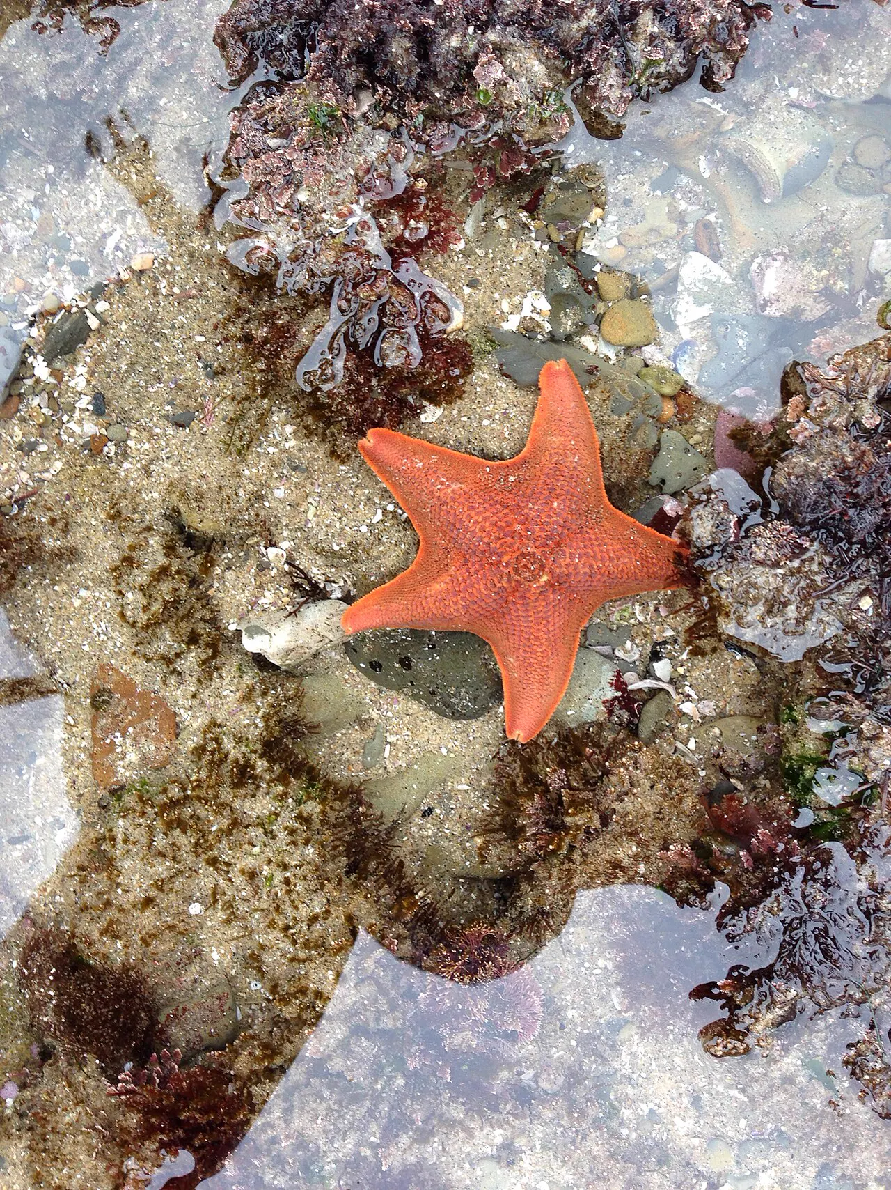
Sea stars are sturdy, flexible predators of the rocky intertidal zone.15 Some species, such as the ochre sea star, play an especially important role in the rocky shore community.16 A wasting disease killed huge numbers of sea stars along the Pacific coast of North America in 2013 and 2014.17
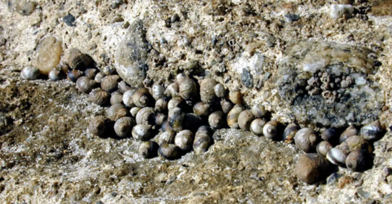
Snails are abundant in the intertidal zone. Common kinds include black and brown turban snails and periwinkles.18 Most graze on algae, scraping it off the rock with a rough, tongue-like radula.18
Also seen from here
California State Parks says sea otters, sea lions and harbor seals find shelter along the shore; CDFW names brown pelicans among the seabirds.3
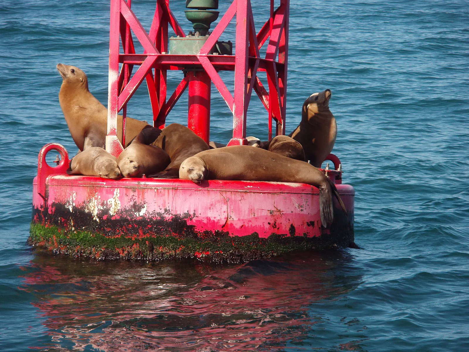
The California sea lion is an "eared seal" native to the West Coast of North America.19 They rest on beaches, docks, buoys and jetties, and are loud, with a call like a barking dog.19 Like all marine mammals, they are protected by federal law.19
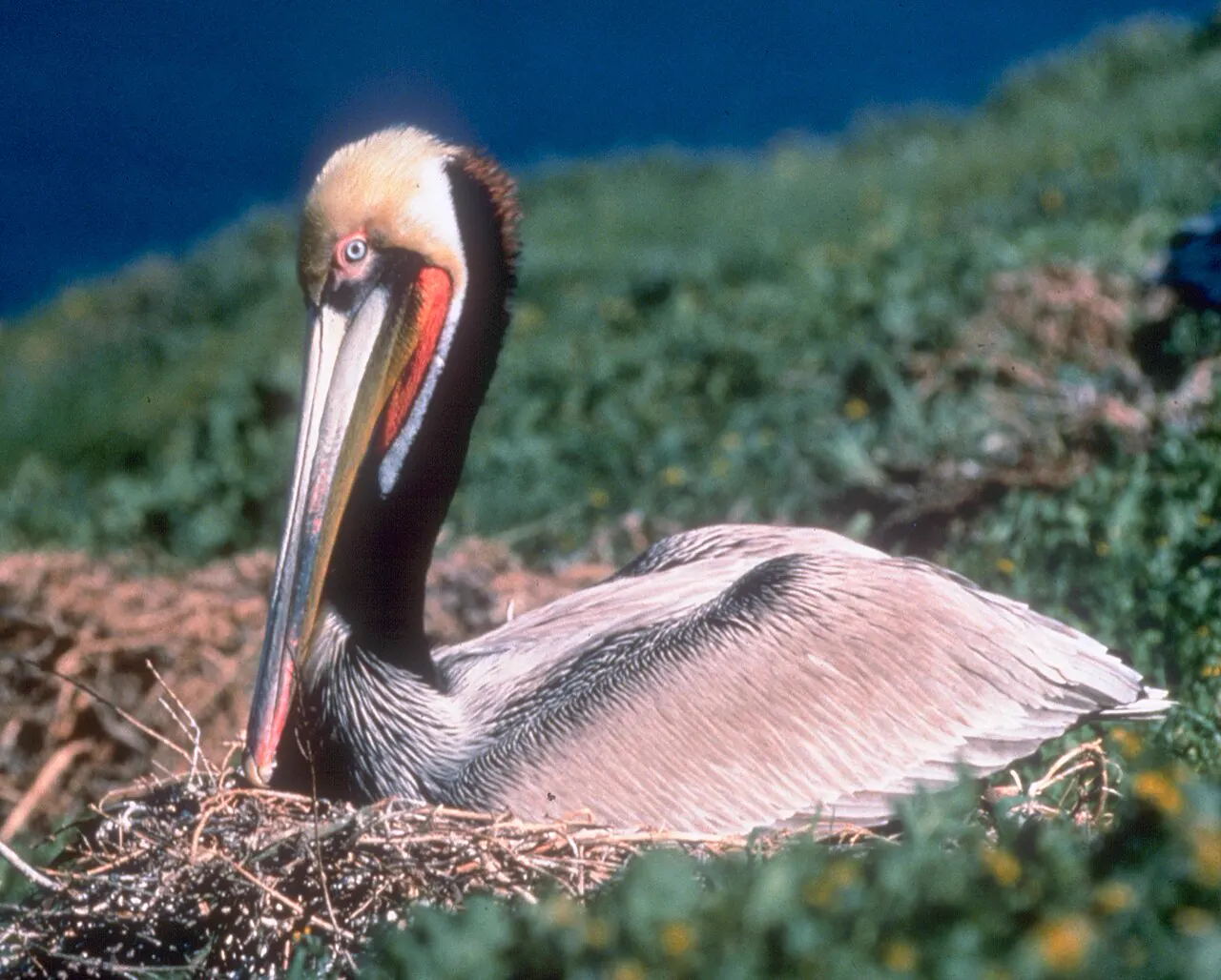
Pelecanus occidentalis
The brown pelican is a large seabird that lives year-round along the Pacific coast.20 It is the only pelican that catches fish by diving into the water from the air.20 It was listed as endangered in 1970 and removed from the federal list in 2009 after it recovered.20
Stay safe
- Never turn your back on the ocean. In hazardous conditions State Parks asks the public to stay off the sandy beaches and away from rocks and tidal zones, and to never turn your back on the ocean.2
- Sneaker waves. Sneaker waves often come with no warning after long periods of quiet surf and much smaller waves, lulls that can last 10 to 20 minutes (National Weather Service).21
- Grip and timing. Wear shoes that give you a good grip on slippery rocks, and check the tide chart so you start as the tide is on its way out (California Coastal Commission).22
Read more: ocean safety · shore safety · weather · first aid
Getting there
- The entrance is three miles south of Carmel on Highway 1.2
- All tours and buses need a special event permit, and all school groups need a reservation.2
- State Parks asks you to call the park before your visit for the latest information on the activities you're interested in.2
Point Lobos State Natural Reserve
Directions to Point Lobos State Natural Reserve, using the map point California State Parks gives for the reserve.2 Loads Google Maps when you tap.
Photos of this spot
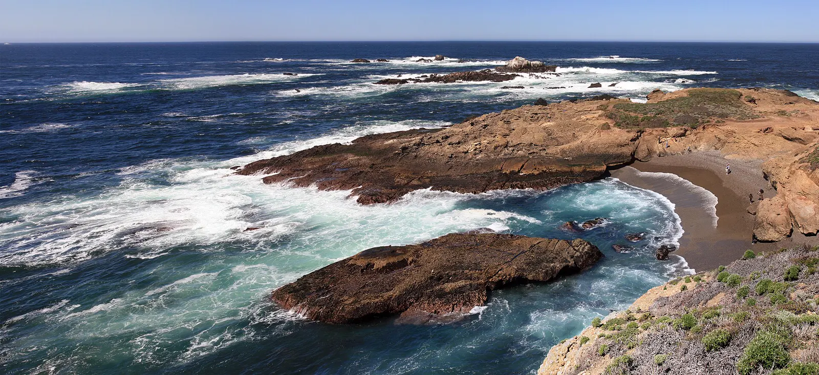
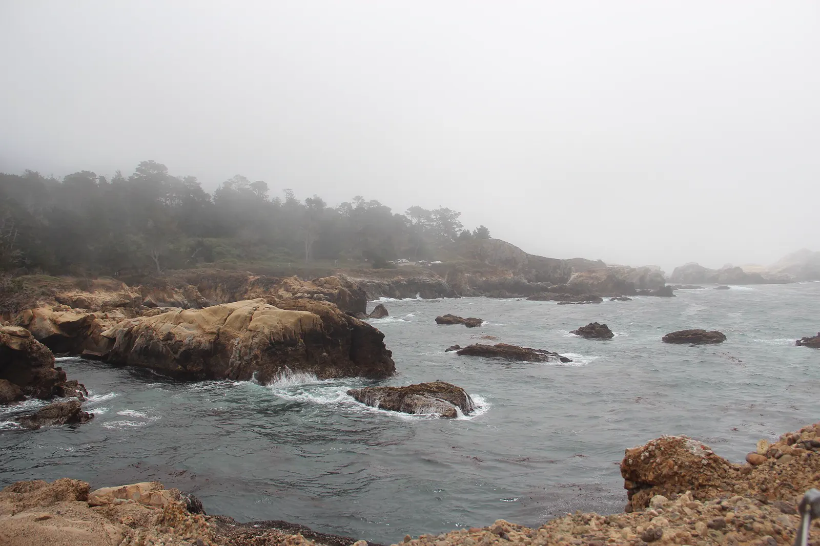
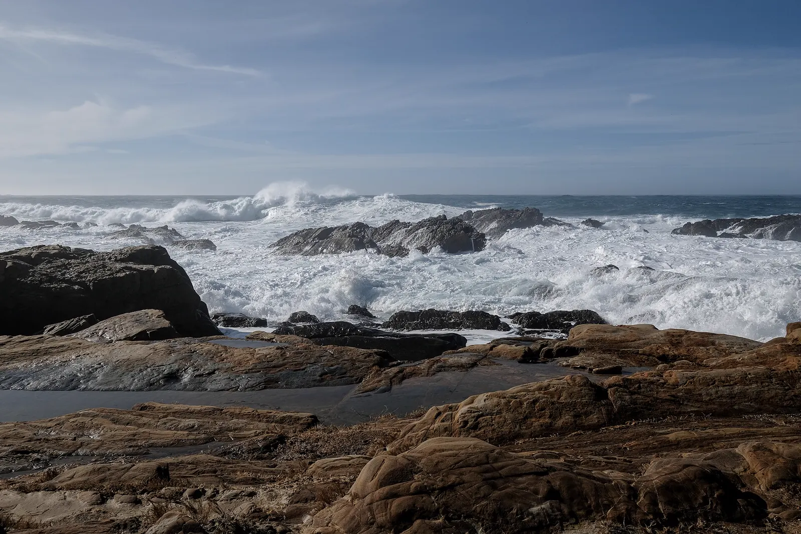
Nearby tide pools
Page history
- : Point Lobos State Natural Reserve added
Sources
- California State Parks: Point Lobos State Marine Reserve and State Marine Conservation Area (opens in a new tab) · accessed 20 November 2026
- California State Parks: Point Lobos State Natural Reserve (opens in a new tab) · accessed 20 November 2026
- California Department of Fish and Wildlife: Point Lobos State Marine Reserve/State Marine Conservation Area (opens in a new tab) · accessed 20 November 2026
- California Department of Health Care Access and Information (HCAI): Licensed Healthcare Facility Listing: COMMUNITY HOSPITAL OF THE MONTEREY PENINSULA (OSHPD ID 106270744) (opens in a new tab) · accessed 20 November 2026
- Centers for Medicare & Medicaid Services (CMS): Hospital General Information: Community Hospital of the Monterey Peninsula (facility 050145) (opens in a new tab) · accessed 20 November 2026
- NOAA CO-OPS: Tidal Datums (MLLW: average of the lower low water height of each tidal day; the reference datum for predictions) (opens in a new tab) · accessed 17 November 2026
- NOAA CO-OPS: Tide predictions (high/low), station 9413450 Monterey; MLLW, feet, local time (opens in a new tab) · accessed 20 November 2026
- NOAA CO-OPS: Metadata API: station names and positions (9410166, 9410230, 9410580) (opens in a new tab) · accessed 17 November 2026
- NOAA Office of National Marine Sanctuaries (Monterey Bay National Marine Sanctuary): Tidepooling Tips (opens in a new tab) · accessed 20 November 2026
- National Park Service: Cabrillo National Monument: The Rocky Intertidal Zone (opens in a new tab) · page updated 31 October 2026 · accessed 17 November 2026
- National Park Service, Glacier Bay National Park & Preserve: Fish in the Intertidal Zone (opens in a new tab) · page updated 16 March 2018 · accessed 17 November 2026
- National Park Service, Cabrillo National Monument: Intertidal Field Guide (opens in a new tab) · page updated 25 June 2021 · accessed 17 November 2026
- National Park Service, Channel Islands National Park: Barnacles (opens in a new tab) · page updated 21 May 2021 · accessed 17 November 2026
- National Park Service, Glacier Bay National Park & Preserve: Snails, Limpets & Chitons (opens in a new tab) · page updated 16 March 2018 · accessed 17 November 2026
- National Park Service, Point Reyes National Seashore: Echinoderms (opens in a new tab) · page updated 19 September 2022 · accessed 17 November 2026
- National Park Service, Redwood National and State Parks: Sea Stars (opens in a new tab) · page updated 7 December 2020 · accessed 17 November 2026
- MARINe (Multi-Agency Rocky Intertidal Network), UC Santa Cruz: Sea Star Wasting Disease (opens in a new tab) · page updated 6 October 2026 · accessed 17 November 2026
- National Park Service, Channel Islands National Park: Snails (opens in a new tab) · page updated 21 May 2021 · accessed 17 November 2026
- NOAA Fisheries: California Sea Lion (opens in a new tab) · page updated 7 April 2025 · accessed 17 November 2026
- National Park Service, Channel Islands National Park: California Brown Pelican (opens in a new tab) · page updated 9 January 2026 · accessed 17 November 2026
- National Weather Service (NOAA): Sneaker/High Waves and Log Rolls Can Be Deadly (opens in a new tab) · accessed 18 November 2026
- California Coastal Commission: Tidepooling (opens in a new tab) · accessed 18 November 2026
Checked against the sources above on 20 November 2026. Hours, fees and rules can change without notice, so check with the California State Parks (Point Lobos State Natural Reserve) before you go. Not affiliated with or endorsed by the California State Parks (Point Lobos State Natural Reserve) or NOAA.
Report a change
Visited recently and something's different? Reports go to review first. They don't change the page until we check them against the official source.
Send a report How reports work