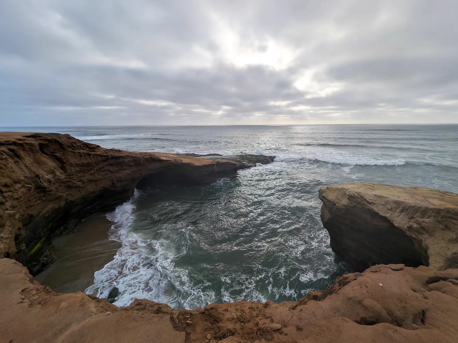
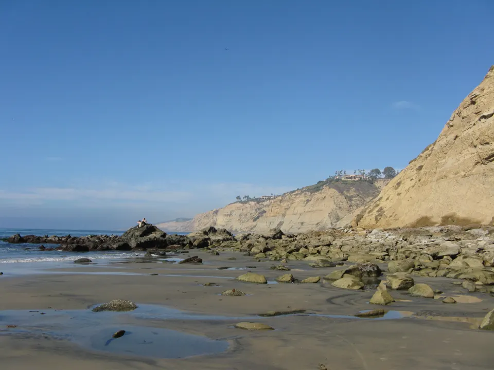
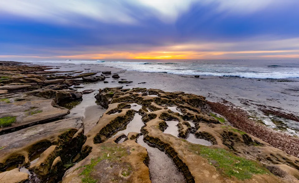
Below the cliffs of Sunset Cliffs Natural Park are pocket beaches, tidepools and reefs, a rich but fragile marine environment (per the City of San Diego master plan, 2005).1 Tidepooling is listed among the park's uses, and school programs used the tidepools for study (per the City of San Diego master plan, 2005).1
In an emergency
Emergency: call 911- Nearest emergency department UC San Diego Health Hillcrest Emergency Department, 200 W. Arbor Drive, San Diego, CA 92103, (619) 543-6222 (hospital main line)2,3
Nearest full-service emergency department by road distance (OpenStreetMap routing, checked 2026-11-18). No drive time is given. Phone from the federal CMS hospital record.
Best times to go
Changing tides can submerge the beaches below the cliffs completely, and unwary visitors sometimes need help from surfers or climbers to get back up (per the City of San Diego master plan, 2005).1
Tide heights are measured from MLLW, the average of each day's lower low water, so a low below 0.0 ft uncovers more than an average day's low.4
Next low tides below 0.0 ft in daylight4
| Date | Low tide | Height |
|---|---|---|
| Sun 22 Nov 2026 | 1:42 PM | −0.46 ft |
| Mon 23 Nov 2026 | 2:26 PM | −0.99 ft |
| Tue 24 Nov 2026 | 3:11 PM | −1.31 ft |
| Wed 25 Nov 2026 | 3:59 PM | −1.39 ft |
| Sat 5 Dec 2026 | 1:29 PM | −0.11 ft |
| Sun 6 Dec 2026 | 2:06 PM | −0.41 ft |
| Mon 7 Dec 2026 | 2:40 PM | −0.57 ft |
| Tue 8 Dec 2026 | 3:13 PM | −0.61 ft |
| Wed 9 Dec 2026 | 3:47 PM | −0.56 ft |
| Thu 10 Dec 2026 | 4:22 PM | −0.44 ft |
| Sun 20 Dec 2026 | 12:51 PM | −0.19 ft |
| Mon 21 Dec 2026 | 1:37 PM | −0.90 ft |
Predictions from NOAA CO-OPS. Not for navigation. Station 9410166, San Diego, Quarantine Station. Heights in feet relative to MLLW, local time, rounded to 0.01 ft. We choose which lows to show; times and heights are NOAA's. Sunrise and sunset are our calculation for the tide station's position.56
Rules
- Park rules (City master plan, 2005): off-trail bicycling, motorbiking, camping and off-leash dog walking are prohibited in the natural park.1
- Outside the reserves, state law still protects tidepools. Tidal invertebrates may not be taken from tidepools and the intertidal zone, apart from a short list of species such as mussels, limpets and crabs.7
Animals found along this coast
Typical of California's rocky shores, from the California Department of Fish and Wildlife's statewide guide to the rocky intertidal zone. No official source lists the animals at this spot itself, so these aren't confirmed here.8
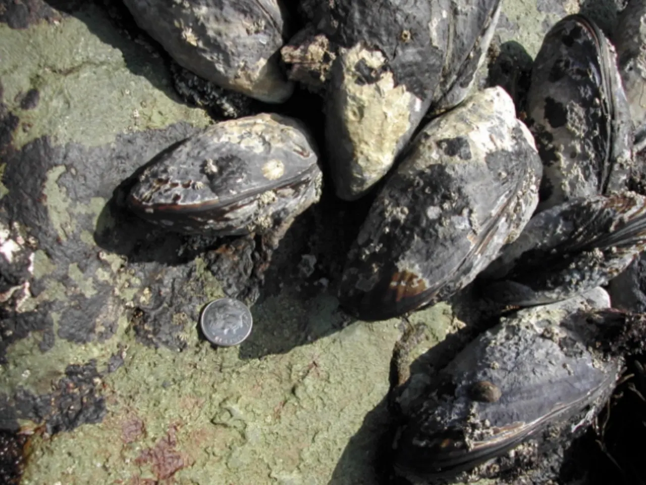
California mussels grow in beds held firmly to the rocks by tough strands. Their shells are tear-shaped and dark blue-black.9 They are commonly 3 to 5 inches long and open at high tide to filter plankton from the water.9
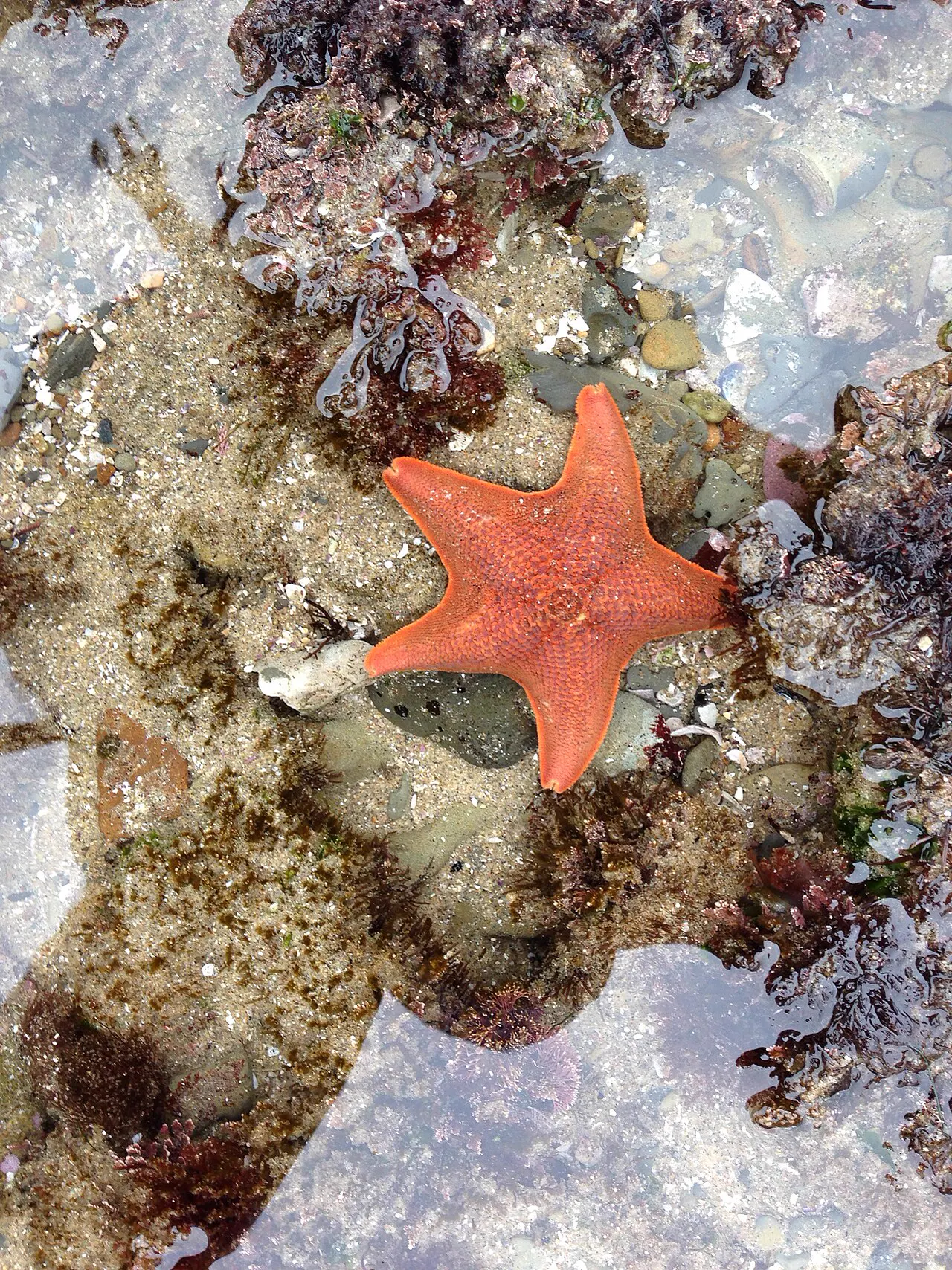
Sea stars are sturdy, flexible predators of the rocky intertidal zone.10 Some species, such as the ochre sea star, play an especially important role in the rocky shore community.11 A wasting disease killed huge numbers of sea stars along the Pacific coast of North America in 2013 and 2014.12
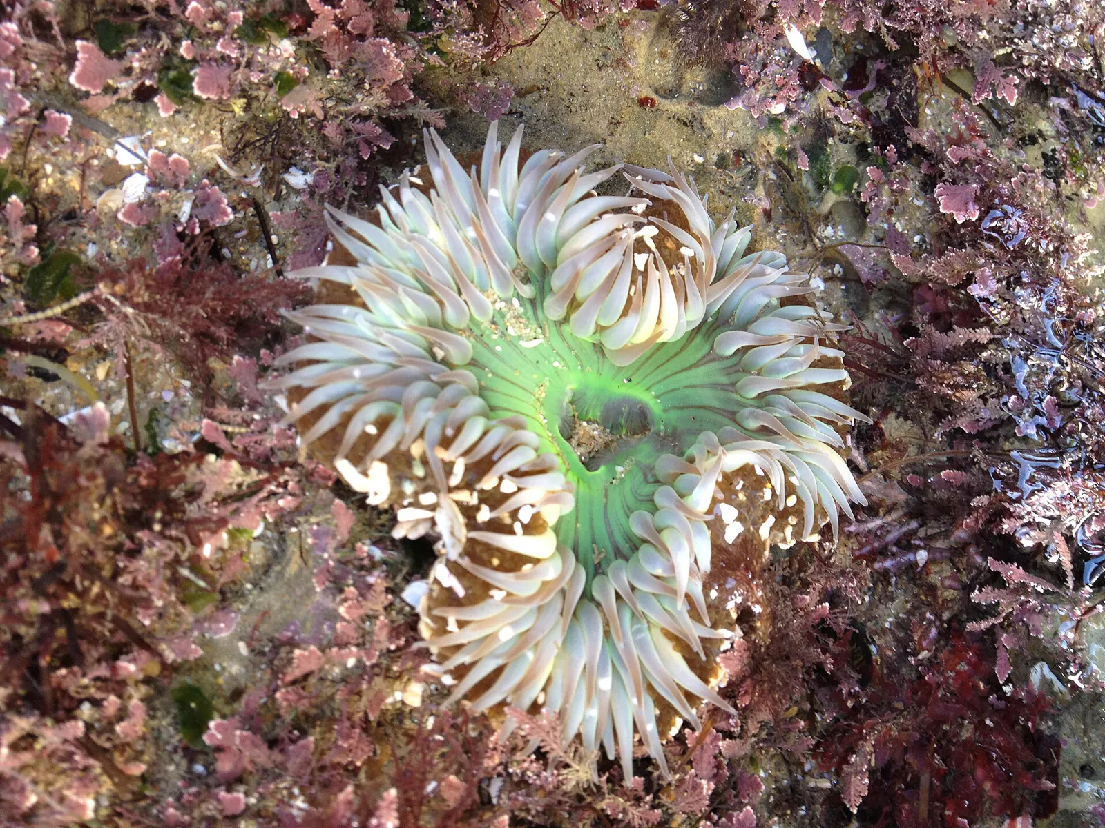
The giant green anemone and the slightly smaller aggregating anemone are both common in tidepools.13 Anemones have no hard shell. Their soft, flexible bodies bend with the moving water.14 They catch prey with stinging cells called nematocysts.9
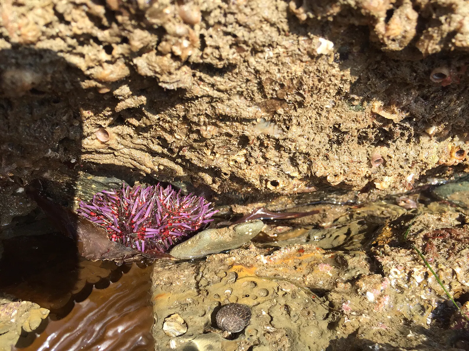
Sea urchins live in tide pools in the lower intertidal zone and are abundant below the tide line.10 Purple sea urchins graze on algae and help control how dense kelp forests become.15
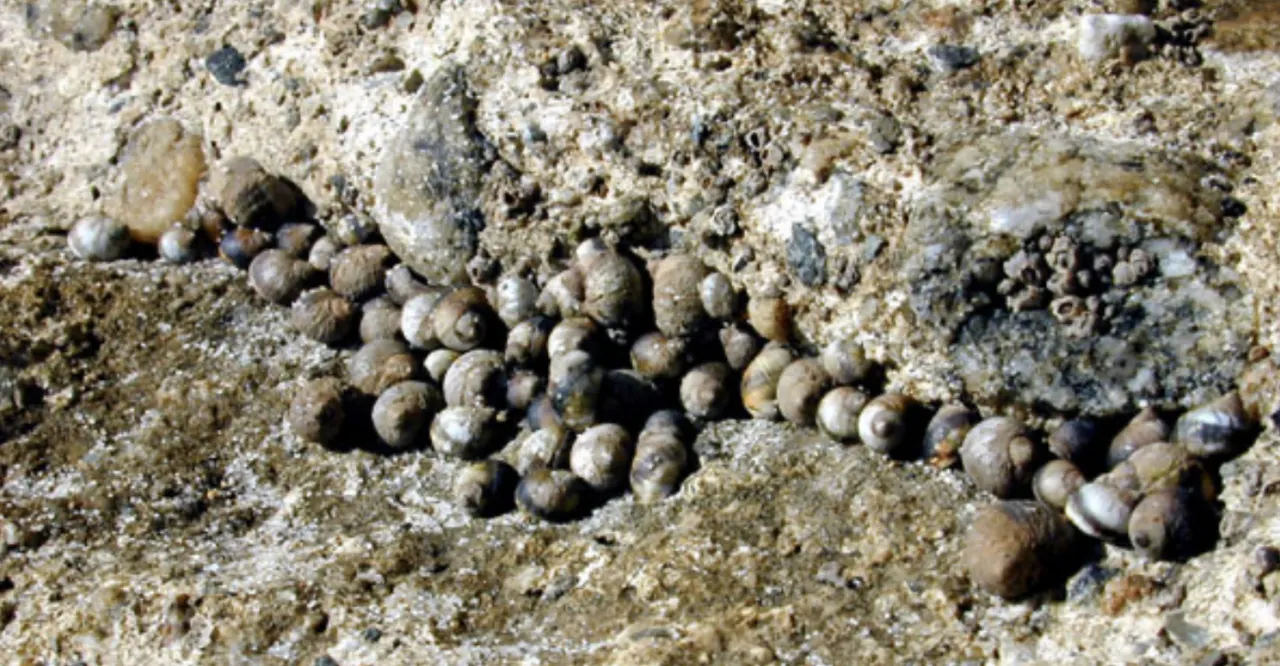
Snails are abundant in the intertidal zone. Common kinds include black and brown turban snails and periwinkles.16 Most graze on algae, scraping it off the rock with a rough, tongue-like radula.16
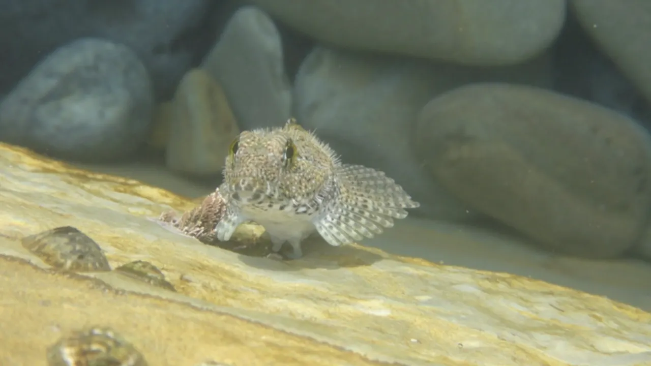
When the tide goes out, small fish are among the animals left behind in isolated tidepools.17 Many fish feed in the intertidal zone at high tide, but most leave as the tide ebbs.18 A few kinds stay behind, hiding in tidepools under rocks or in mussel beds.18
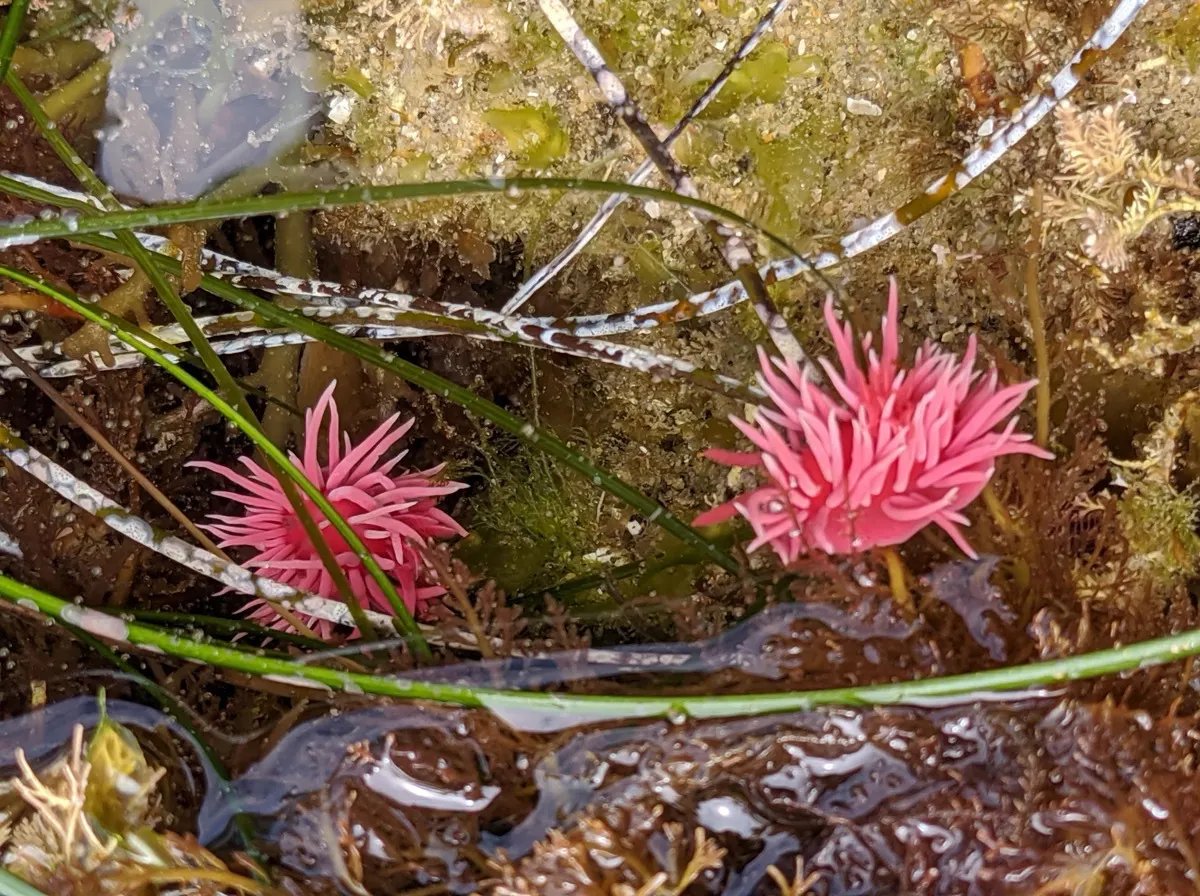
Nudibranchs, sometimes called sea slugs, are among the most eye-catching animals in a tidepool.19 They live in the low intertidal zone, which is uncovered only during the lowest tides.17
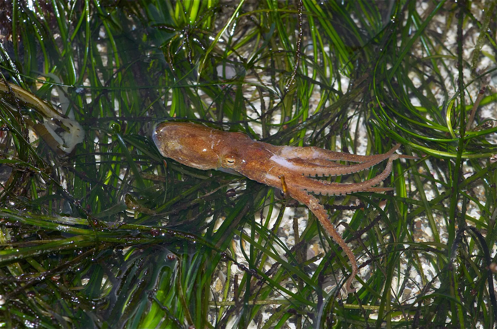
Octopuses are among the animals found in the low zone of the tidepools at Cabrillo National Monument.17 Octopuses are secretive and hide in holes or crevices.9
Also seen from here
The only animal the City's park page names for Sunset Cliffs: gray whales can often be seen from the cliffs on their yearly migration between the Bering Sea and Baja California.20
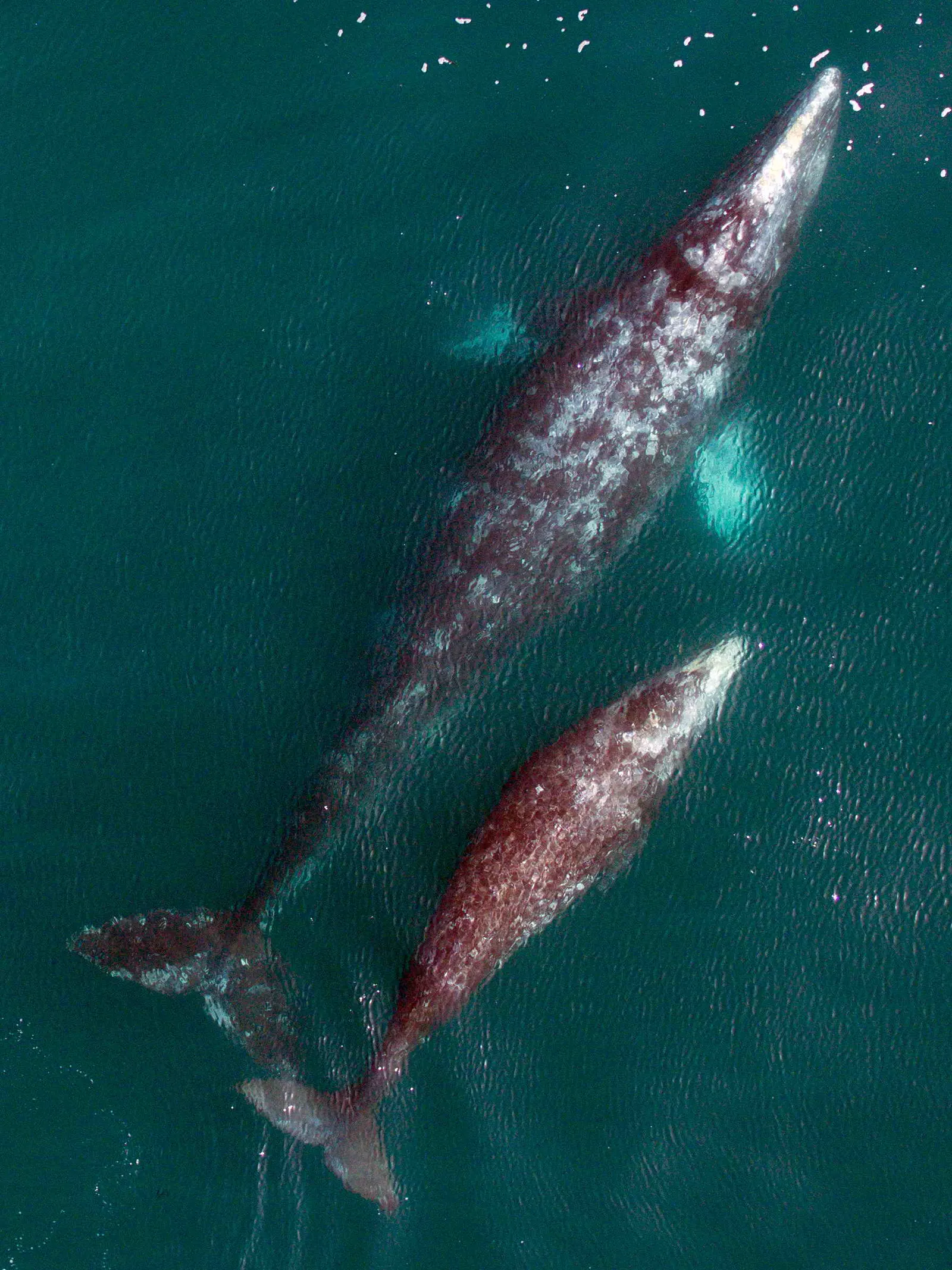
Eschrichtius robustus
Gray whales make one of the longest yearly migrations of any mammal, about 10,000 miles round trip.21 They migrate from Alaska to the lagoons of Baja California, Mexico, where they give birth and mate.22 At Cabrillo National Monument, whale-watching season runs from late December to mid-March.22
Stay safe
- The cliffs are unstable. Sizeable areas can collapse unexpectedly (per the City of San Diego master plan, 2005).1
- Watch the tide. Rising water can cover the pocket beaches below the cliffs (per the City of San Diego master plan, 2005).1
- Never turn your back to the ocean. San Diego's lifeguards warn that waves can sweep people off coastal bluffs or tide pool areas without warning.23
- Stay clear of coastal bluffs. They can collapse and cause injury.23
Read more: ocean safety · shore safety · first aid
Getting there
- Park on the street or in one of the park's small lots. There are no restrooms.20
Sunset Cliffs Blvd & Ladera St, San Diego, CA
Directions to Sunset Cliffs Boulevard at Ladera Street, where the City's own directions lead.20 Loads Google Maps when you tap.
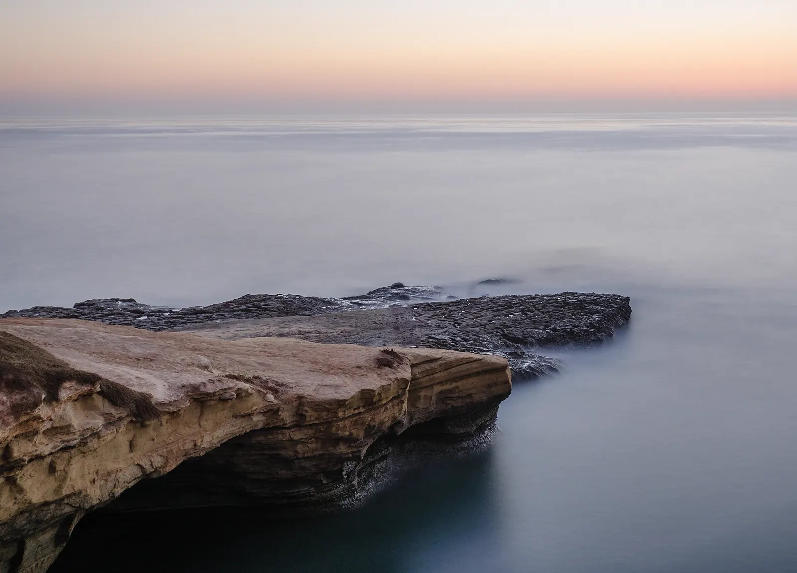
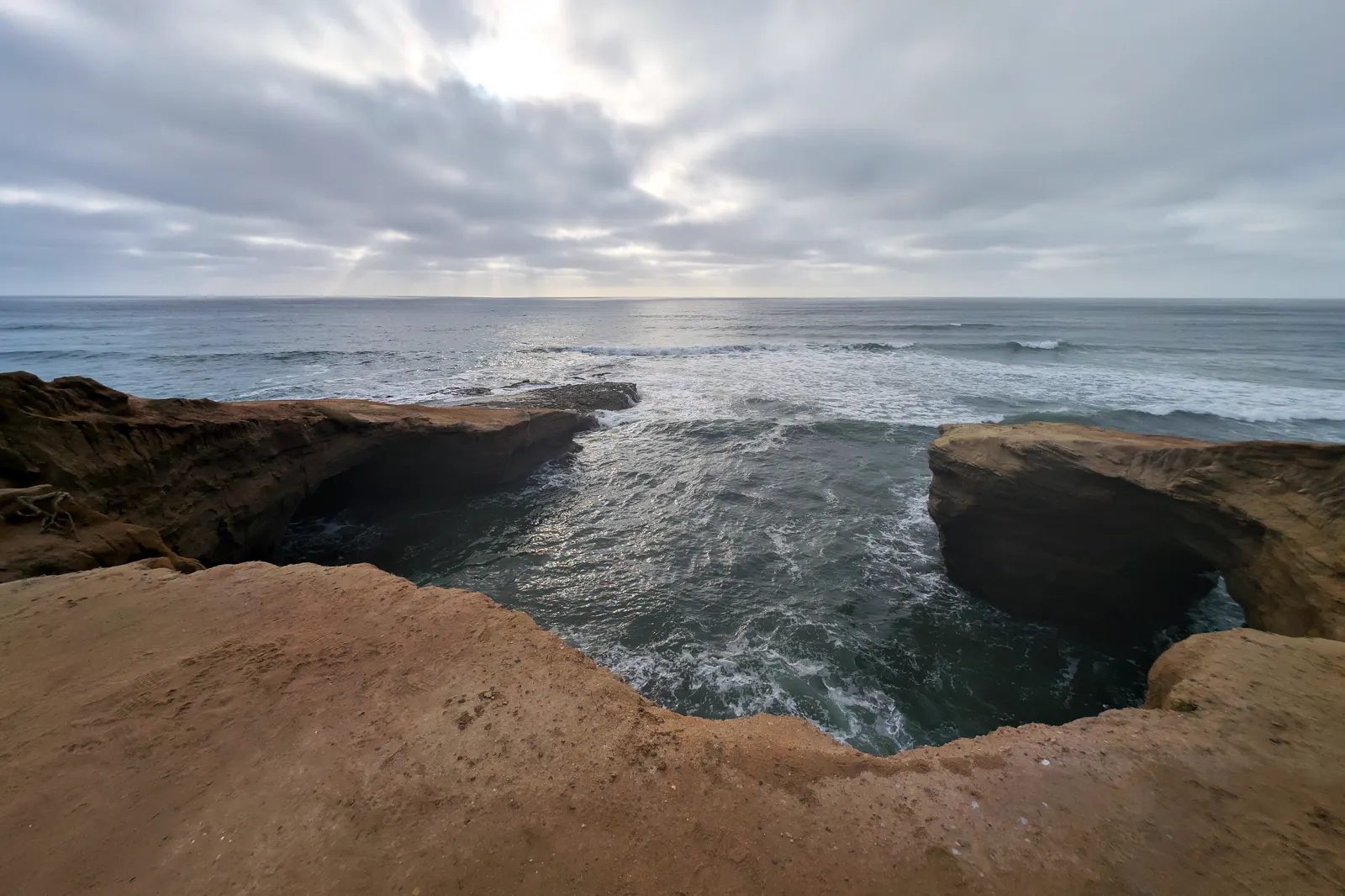
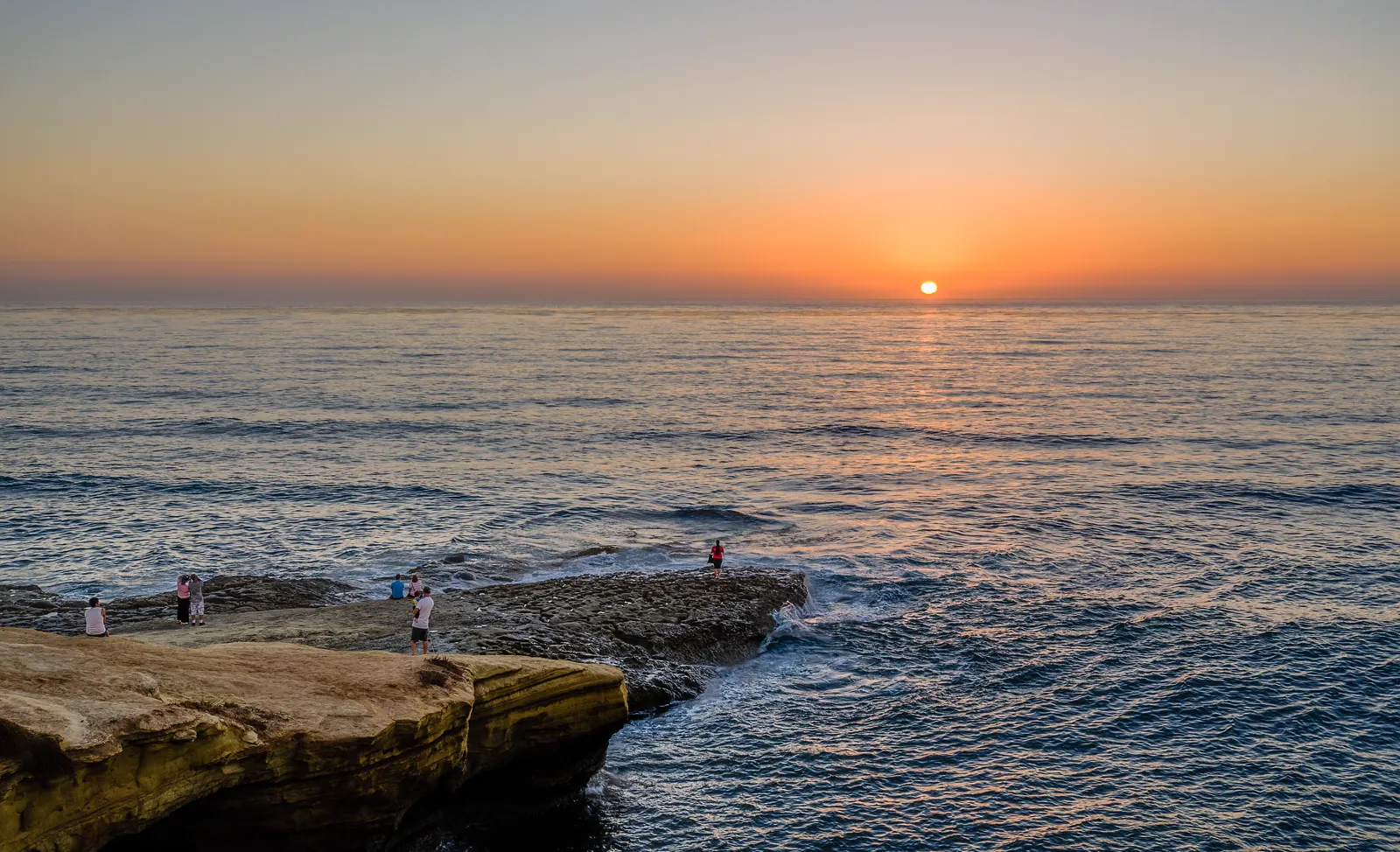
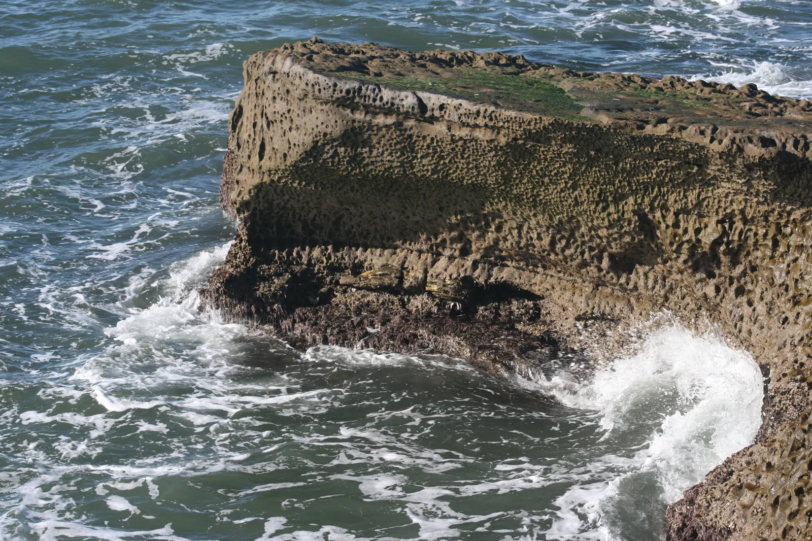
Photos of this spot
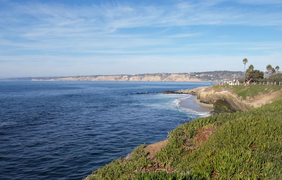
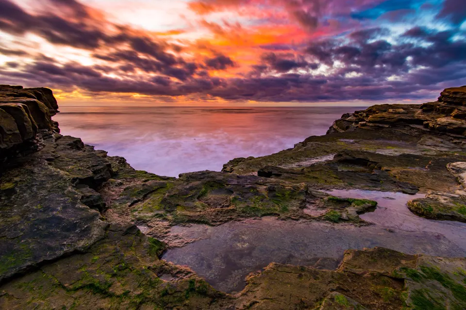
Nearby tide pools
Page history
- : Sunset Cliffs: emergency contacts updated
- : Sunset Cliffs Natural Park tide pools: "Animals found along this coast" added (typical of California's rocky shores, not confirmed at the spot)
- : Sunset Cliffs: emergency contacts added
- : Sunset Cliffs added
Sources
- City of San Diego, Park and Recreation Department: Sunset Cliffs Natural Park Master Plan (Final, July 2005) (opens in a new tab) · published 1 July 2005 · accessed 17 November 2026
- UC San Diego Health: Emergency Departments (opens in a new tab) · accessed 18 November 2026
- Centers for Medicare & Medicaid Services (CMS): Hospital General Information: UC San Diego Health Hillcrest - Hillcrest Med Ctr (facility 050025) (opens in a new tab) · accessed 21 November 2026
- NOAA CO-OPS: Tidal Datums (MLLW: average of the lower low water height of each tidal day; the reference datum for predictions) (opens in a new tab) · accessed 17 November 2026
- NOAA CO-OPS: Tide predictions (high/low), station 9410166 San Diego, Quarantine Station; MLLW, feet, local time (opens in a new tab) · accessed 17 November 2026
- NOAA CO-OPS: Metadata API: station names and positions (9410166, 9410230, 9410580) (opens in a new tab) · accessed 17 November 2026
- California Code of Regulations, Title 14, §29.05 (Cornell LII copy): General provisions and definitions: invertebrates (tidepool take rule, subsection (b)) (opens in a new tab) · accessed 17 November 2026
- California Department of Fish and Wildlife: California's Ocean Habitats: The Rocky Intertidal Zone (Marine Management News, 4 August 2021) (opens in a new tab) · accessed 18 November 2026
- National Park Service, Cabrillo National Monument: Intertidal Field Guide (opens in a new tab) · page updated 25 June 2021 · accessed 17 November 2026
- National Park Service, Point Reyes National Seashore: Echinoderms (opens in a new tab) · page updated 19 September 2022 · accessed 17 November 2026
- National Park Service, Redwood National and State Parks: Sea Stars (opens in a new tab) · page updated 7 December 2020 · accessed 17 November 2026
- MARINe (Multi-Agency Rocky Intertidal Network), UC Santa Cruz: Sea Star Wasting Disease (opens in a new tab) · page updated 6 October 2026 · accessed 17 November 2026
- National Park Service, Channel Islands National Park: Anemone (opens in a new tab) · page updated 21 May 2021 · accessed 17 November 2026
- National Park Service, Klamath Inventory and Monitoring Network: On the Edge: The Curious Lives of Intertidal Organisms and How We Monitor Them (opens in a new tab) · page updated 28 November 2022 · accessed 17 November 2026
- MARINe (Multi-Agency Rocky Intertidal Network), UC Santa Cruz: Strongylocentrotus purpuratus (Purple Urchin) (opens in a new tab) · page updated 7 August 2025 · accessed 17 November 2026
- National Park Service, Channel Islands National Park: Snails (opens in a new tab) · page updated 21 May 2021 · accessed 17 November 2026
- National Park Service: Cabrillo National Monument: The Rocky Intertidal Zone (opens in a new tab) · page updated 31 October 2026 · accessed 17 November 2026
- National Park Service, Glacier Bay National Park & Preserve: Fish in the Intertidal Zone (opens in a new tab) · page updated 16 March 2018 · accessed 17 November 2026
- National Park Service, Point Reyes National Seashore: Intertidal and Subtidal Zones (opens in a new tab) · page updated 4 February 2024 · accessed 17 November 2026
- City of San Diego, Parks and Recreation: Sunset Cliffs Natural Park (opens in a new tab) · accessed 17 November 2026
- NOAA Fisheries: Gray Whale (opens in a new tab) · page updated 21 September 2026 · accessed 17 November 2026
- National Park Service, Cabrillo National Monument: Whale Watching (opens in a new tab) · page updated 28 September 2023 · accessed 17 November 2026
- City of San Diego, Lifeguard Services: Beach and water safety (opens in a new tab) · accessed 17 November 2026
Checked against the sources above on 17 November 2026. Hours, fees and rules can change without notice, so check with the City of San Diego Parks and Recreation before you go. Not affiliated with or endorsed by the City of San Diego Parks and Recreation or NOAA.
Report a change
Visited recently and something's different? Reports go to review first. They don't change the page until we check them against the official source.
Send a report How reports work